
Kerr County’s Extreme Weather History
A county underwater, freezing and on fire: Kerr County’s Weather in the 2020s
Seven years, a record flood, a record cold snap, and the deadliest single day in county history
Kerr County has always lived with extreme weather — flash floods, hard freezes, summer heat that pushes past 100 degrees for weeks at a time. But no seven-year stretch on record compares to this decade. Since 2020, the county has weathered its coldest infrastructure failure in generations, its longest confirmed drought since the modern river gauges went in, and — twice, one year apart — the worst flooding the Guadalupe River has produced since 1932.
This is a timeline of that stretch, newest to oldest.
2026: A river that broke its own recent record
July 14-17 — Historic rainfall floods the Guadalupe watershed
A year and 12 days after the deadliest flood in county history, the Guadalupe watershed flooded again — and by some measures, worse.
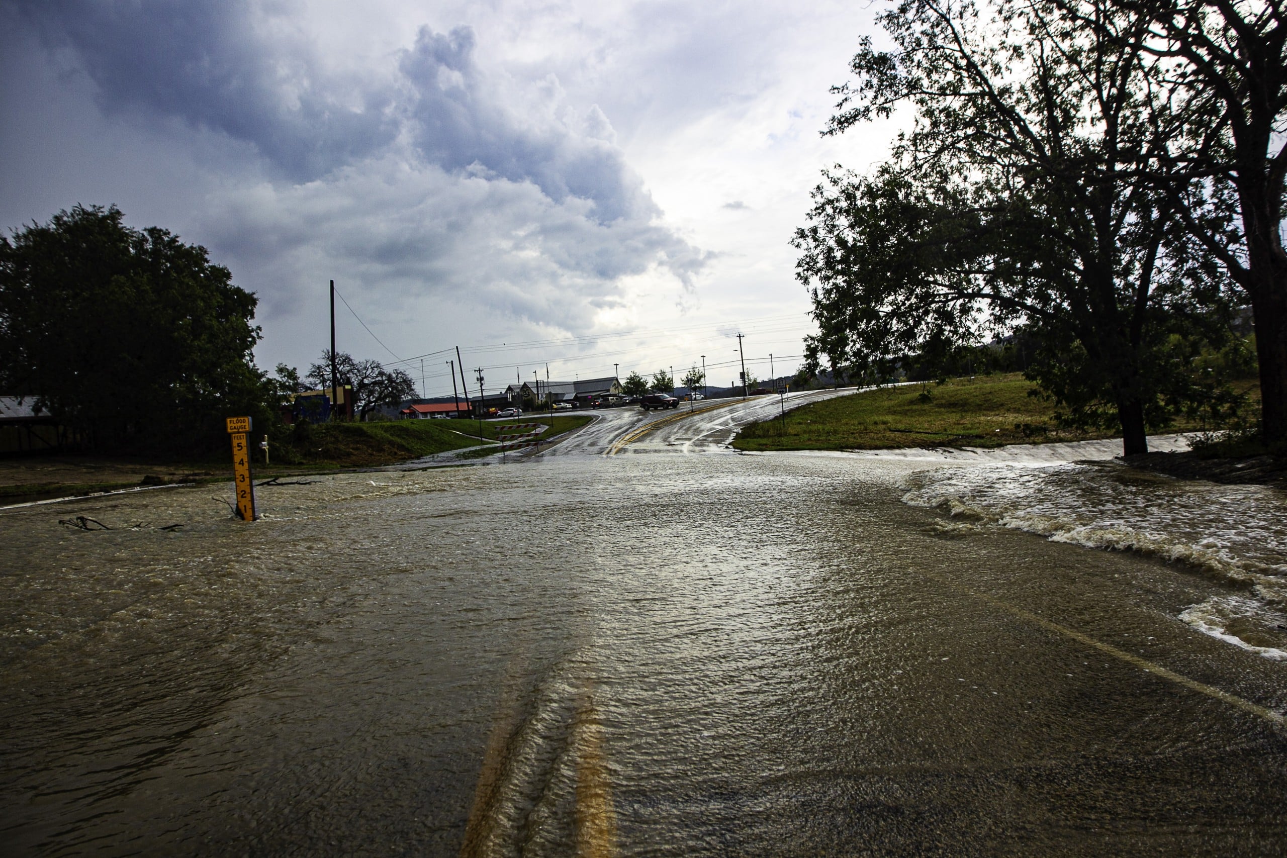
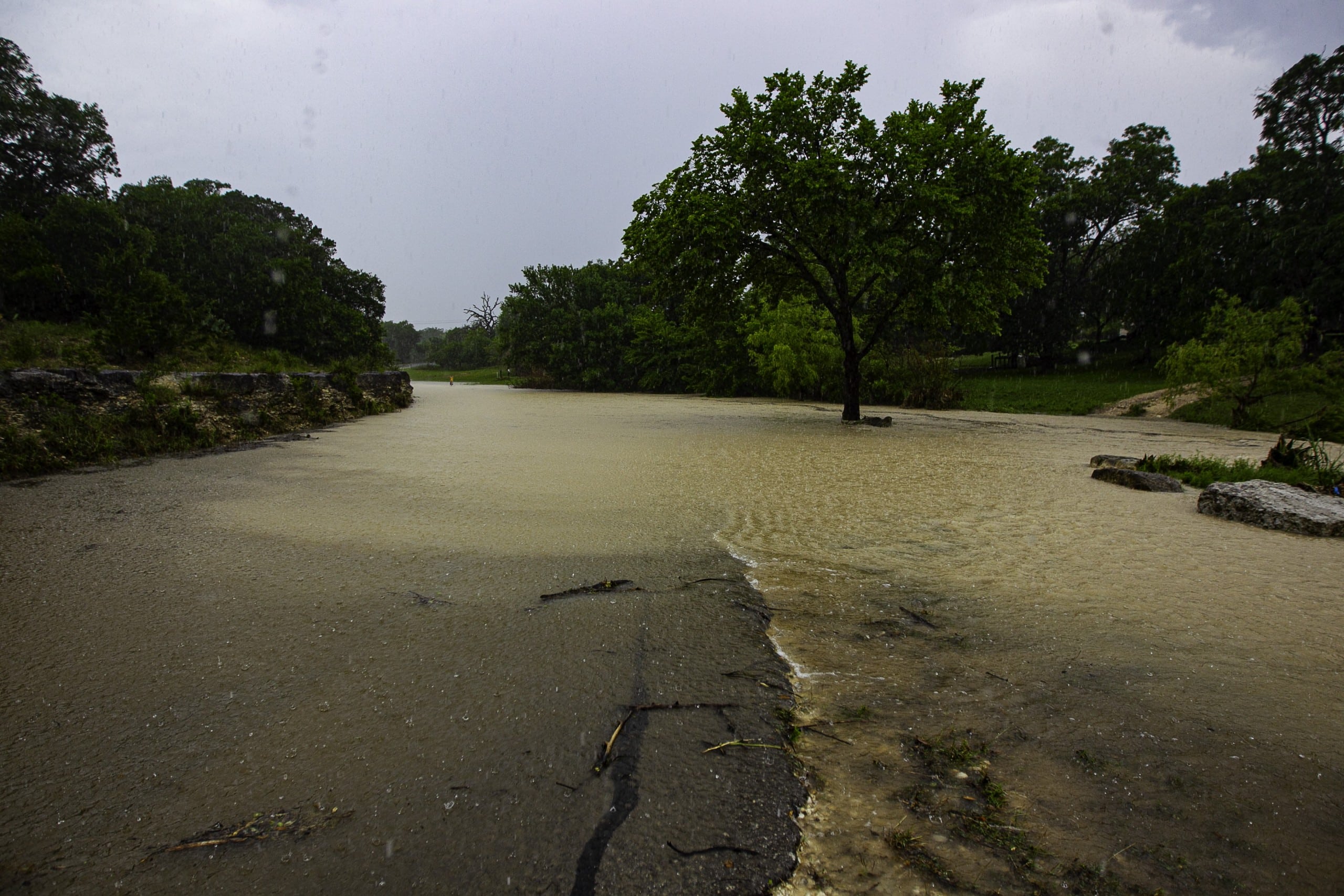
A four-day storm dropped 18.84 inches of rain in a single day near Ingram on July 16, the heaviest one-day total ever recorded in Kerr County. Over the full four days, a gauge west of Ingram measured 36.67 inches — more than the region’s entire average annual rainfall in less than a week. Three separate gauges, in Ingram, Hunt and Kerrville, each recorded some of the five-highest single-day rainfall totals on record for the county, all on the same day.
The Guadalupe responded accordingly. At Center Point, the river gauge rose roughly 32 feet in just over four hours, cresting at 38.73 feet — the second-highest reading ever recorded there, just below the mark set the previous July. Upstream at Hunt, the river crested at 19.30 feet, about half of what it reached in 2025, reflecting where this storm’s heaviest rain actually fell: closer to Ingram than to the Hunt headwaters that bore the brunt of the 2025 flood. Johnson Creek, which runs through Ingram itself, told a different story than either — the creek rose and fell twice in one day, cresting at 13.81 feet in the afternoon after an already-major morning peak, the clearest sign anywhere in this stretch of repeated waves of thunderstorms crossing the same ground rather than one storm passing through.
A new river gauge on the South Fork Guadalupe near Hunt, installed earlier this year, recorded its first flood: a comparatively modest rise to 10.41 feet.
2025: The deadliest day in county history
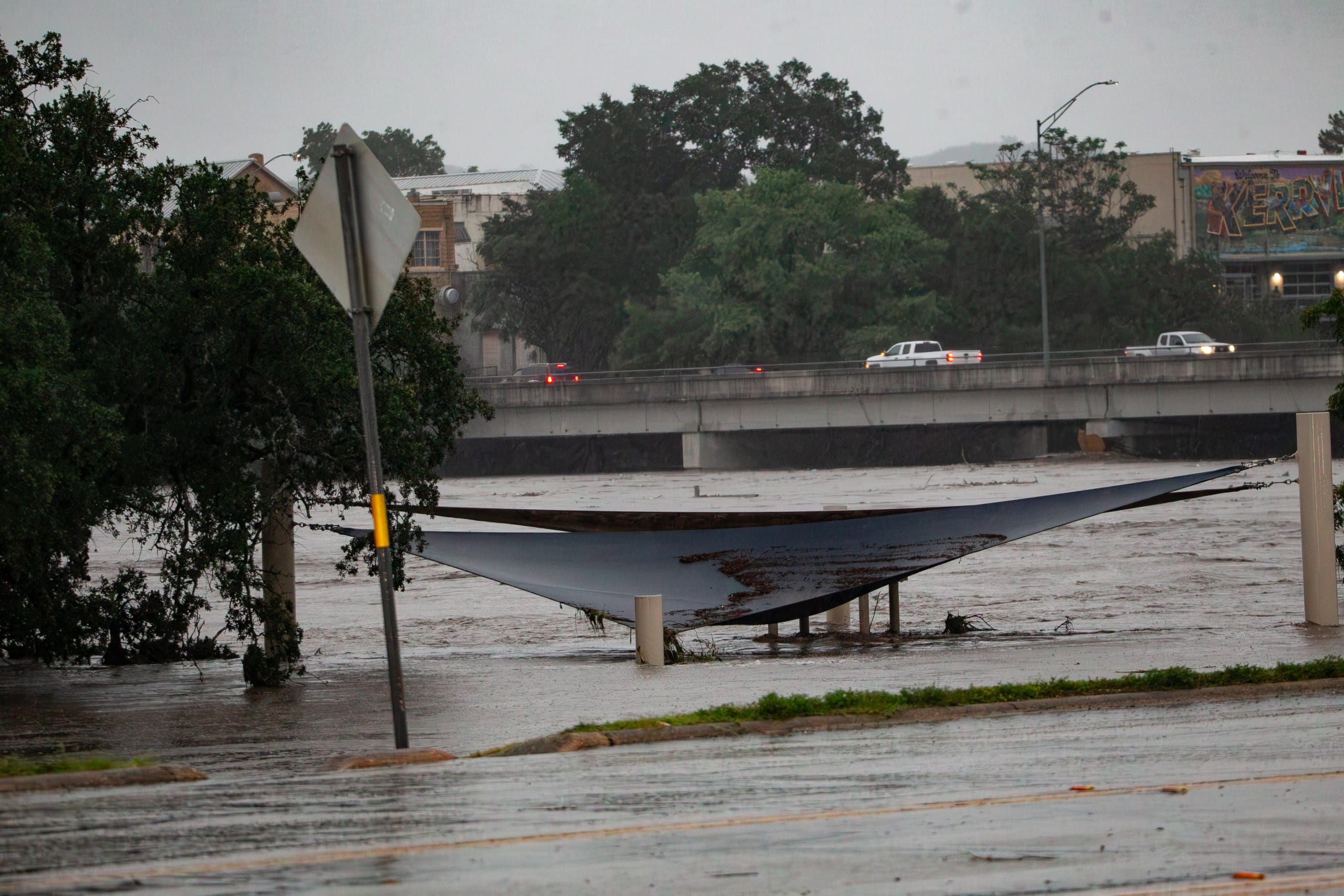
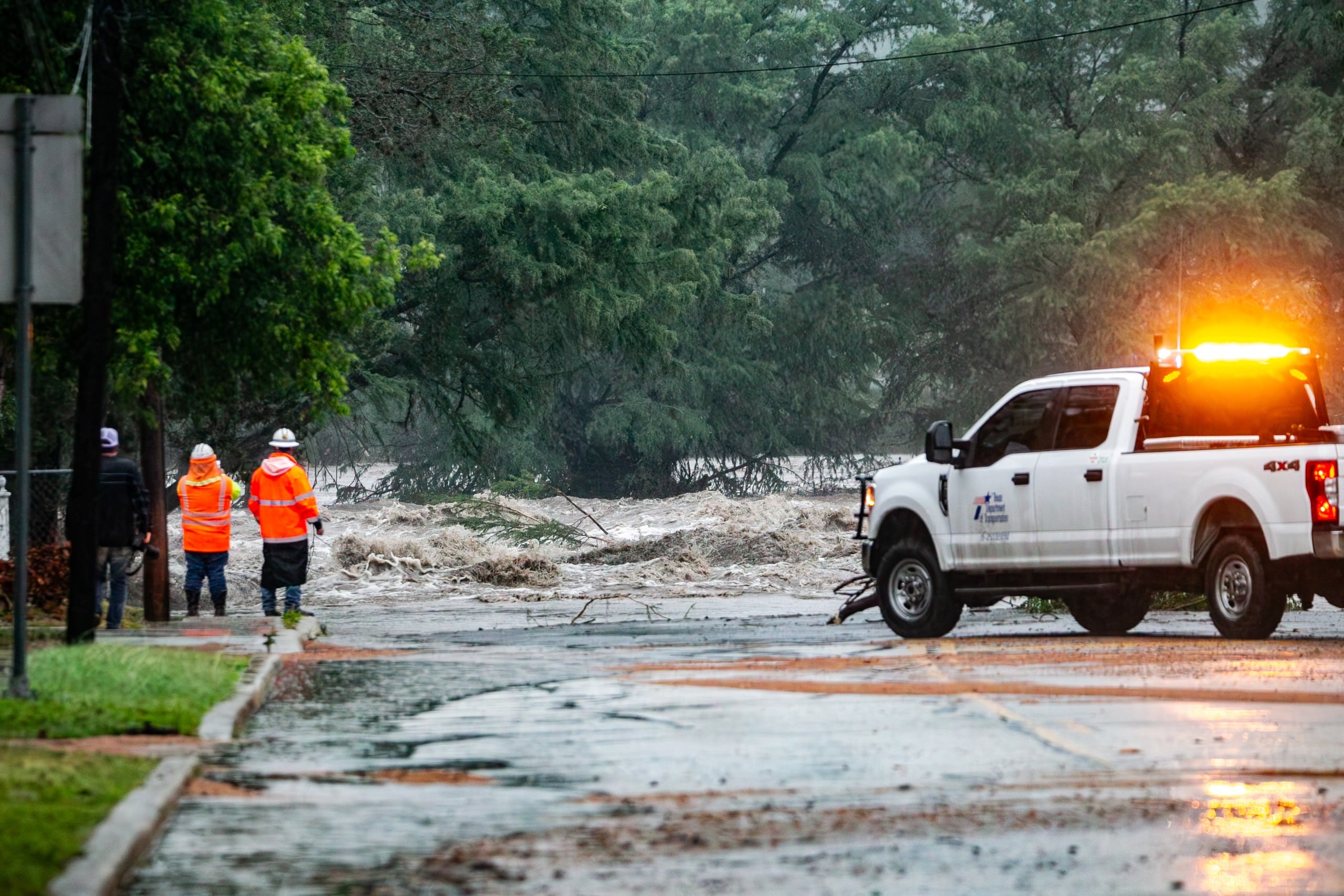
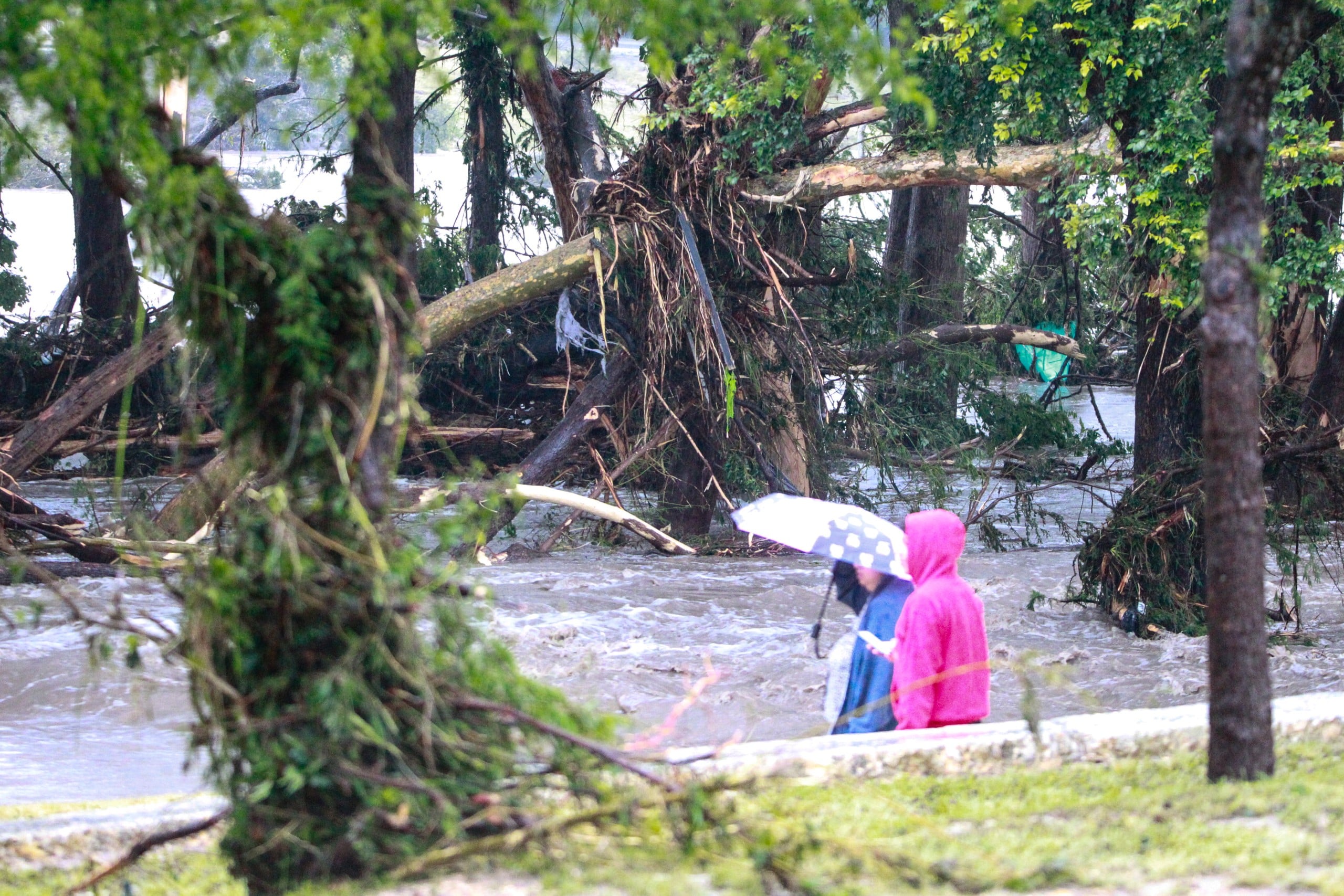
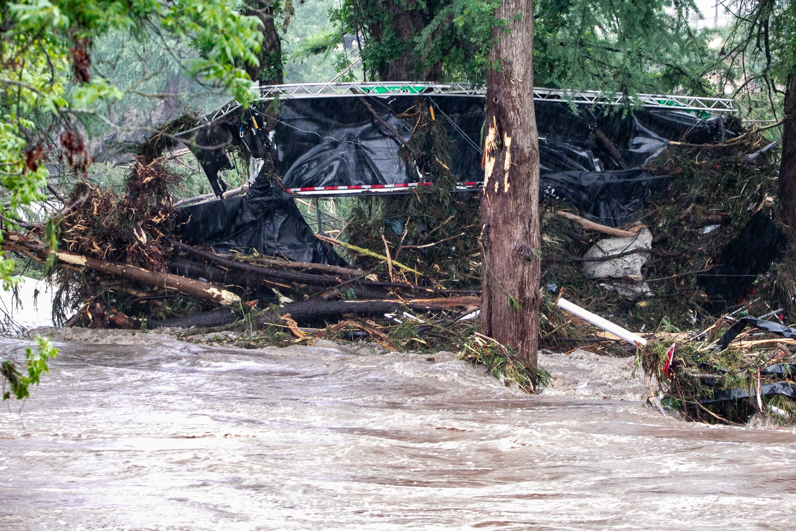
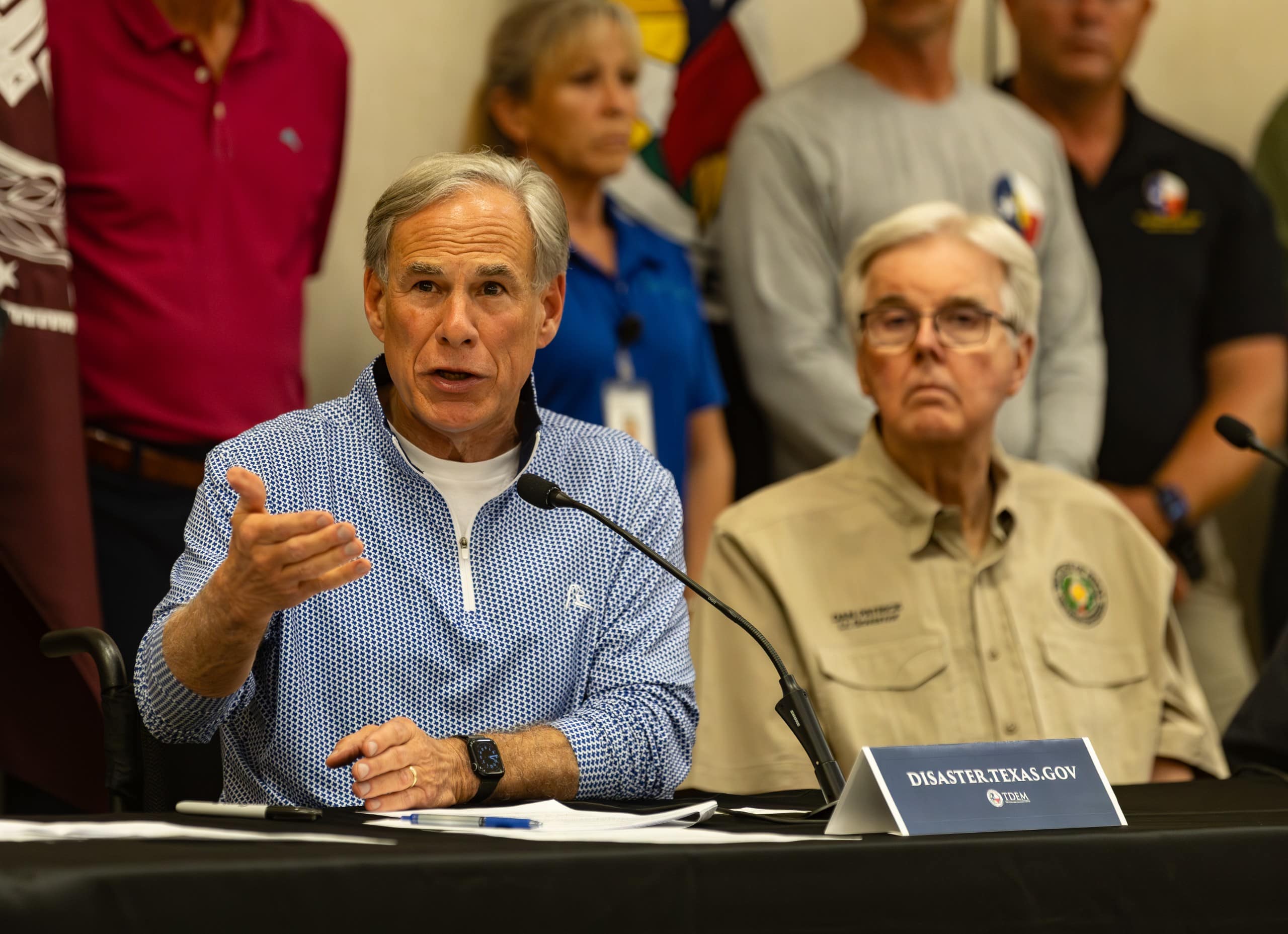


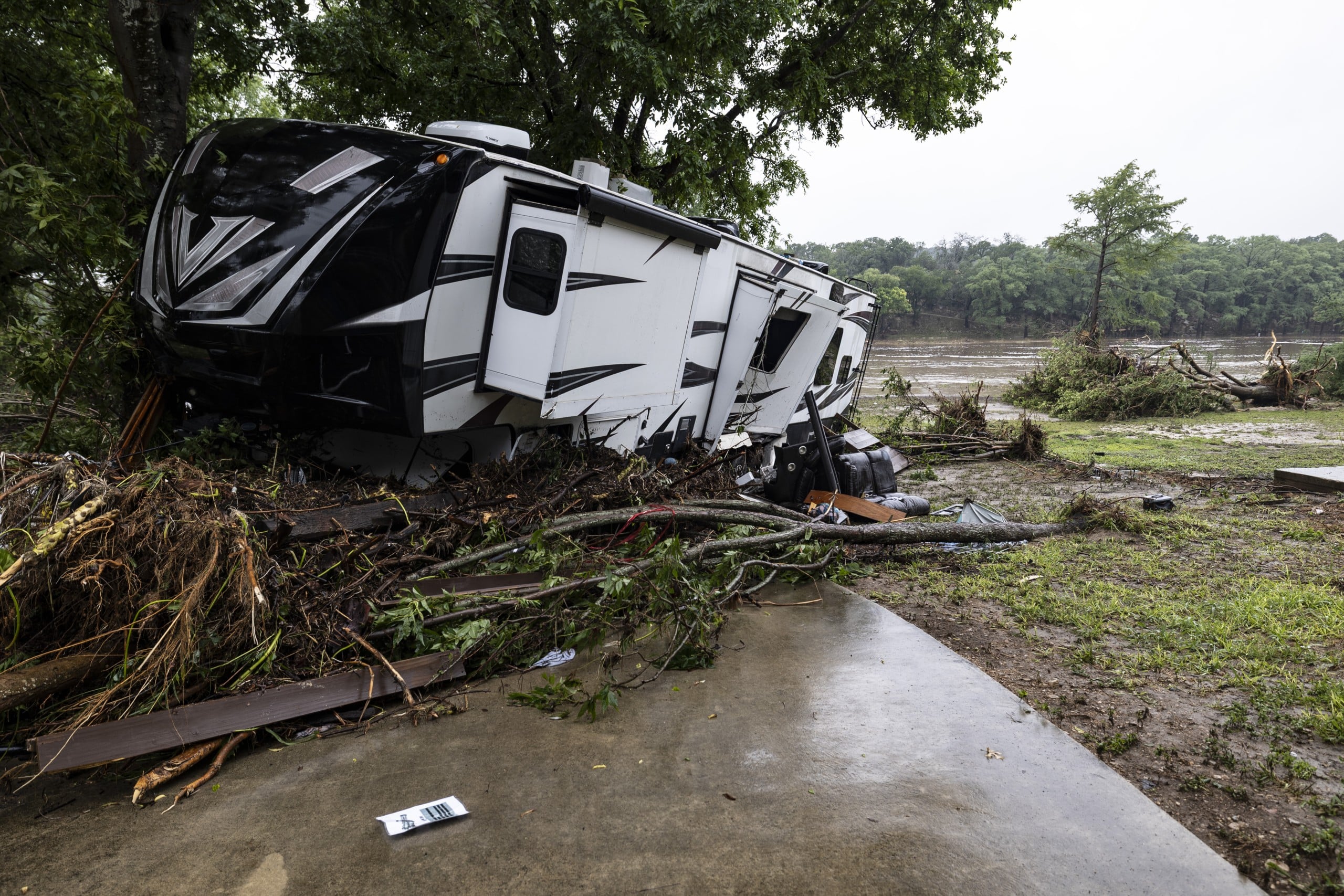

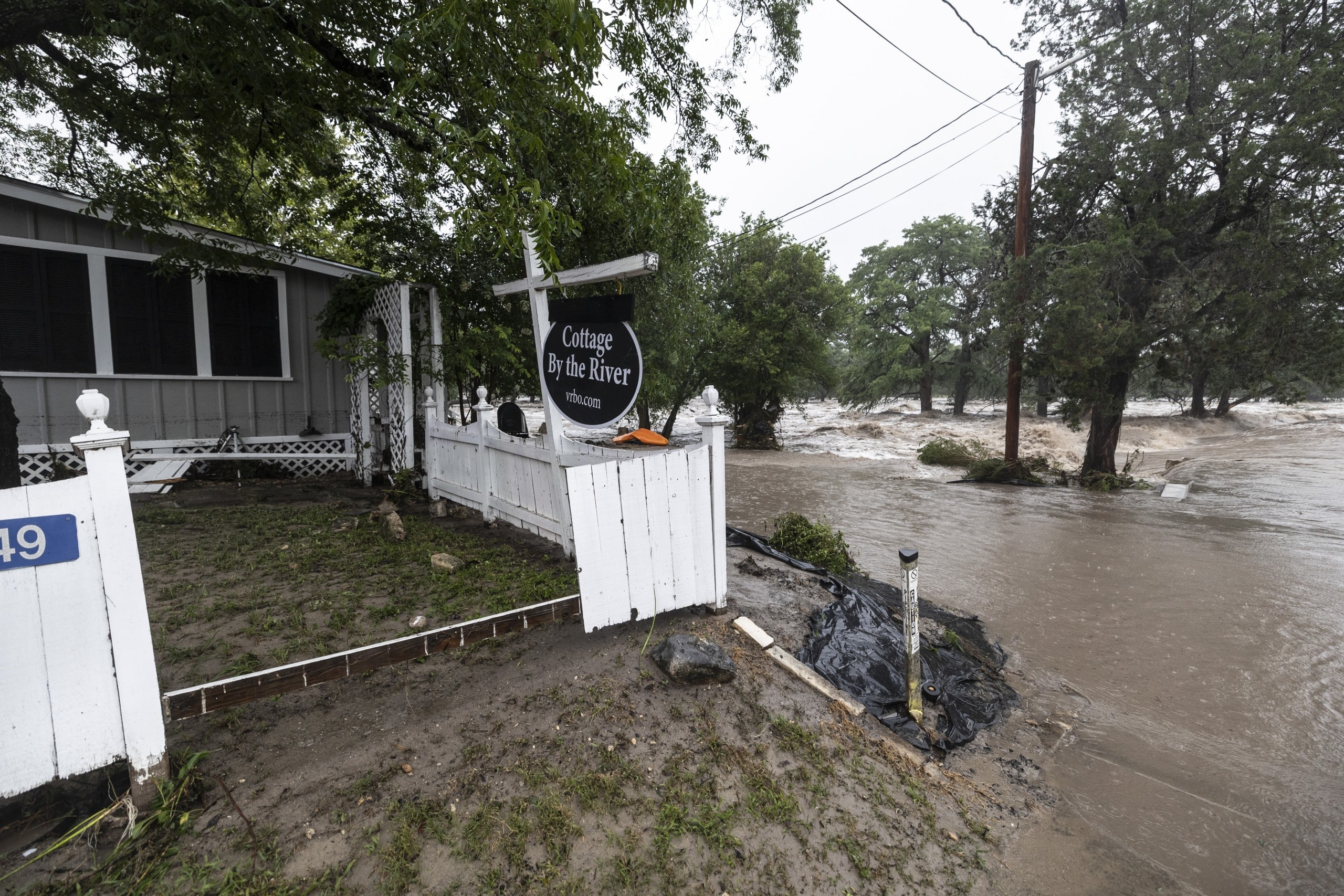
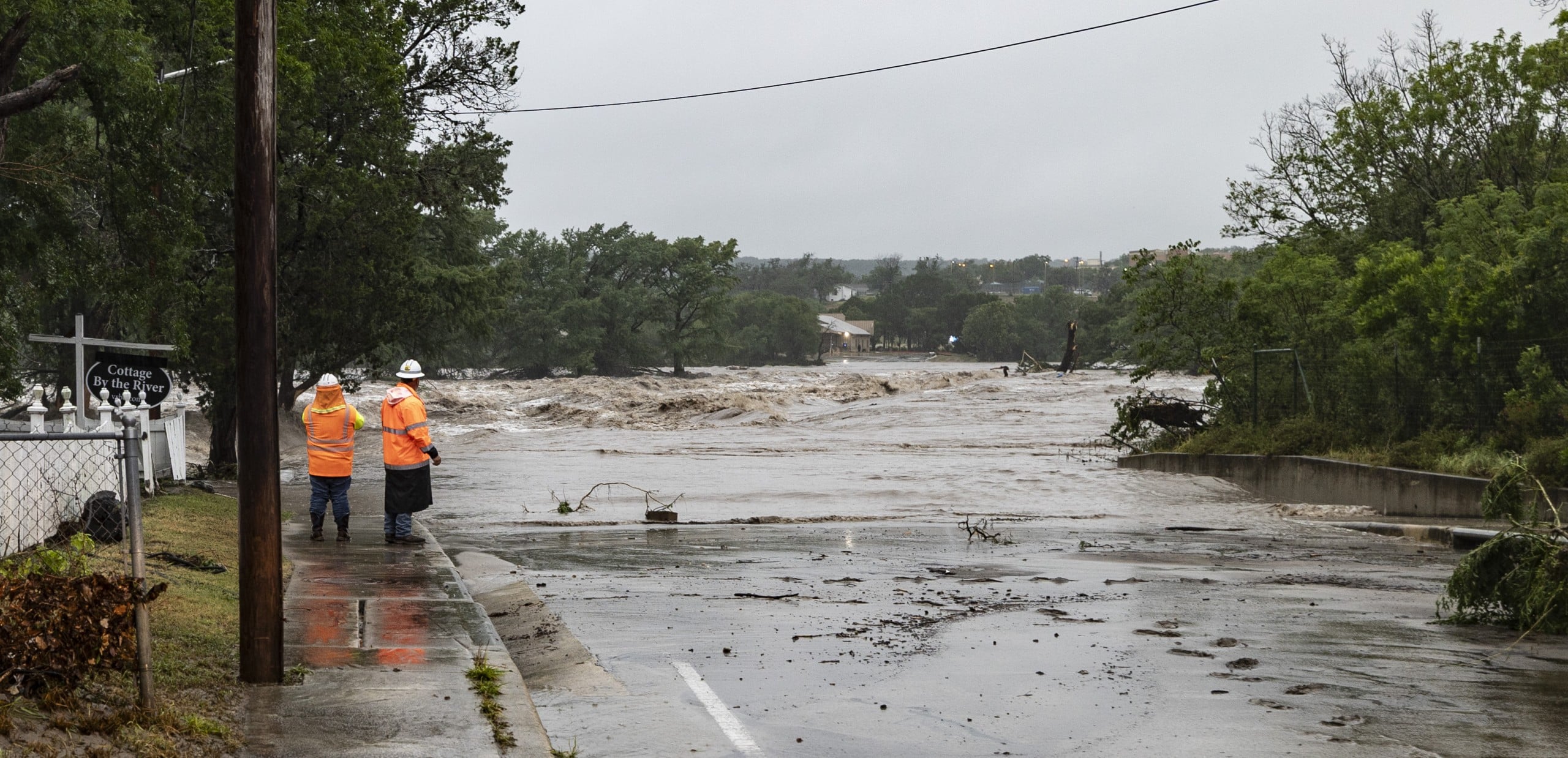
July 4 — The Guadalupe River flood
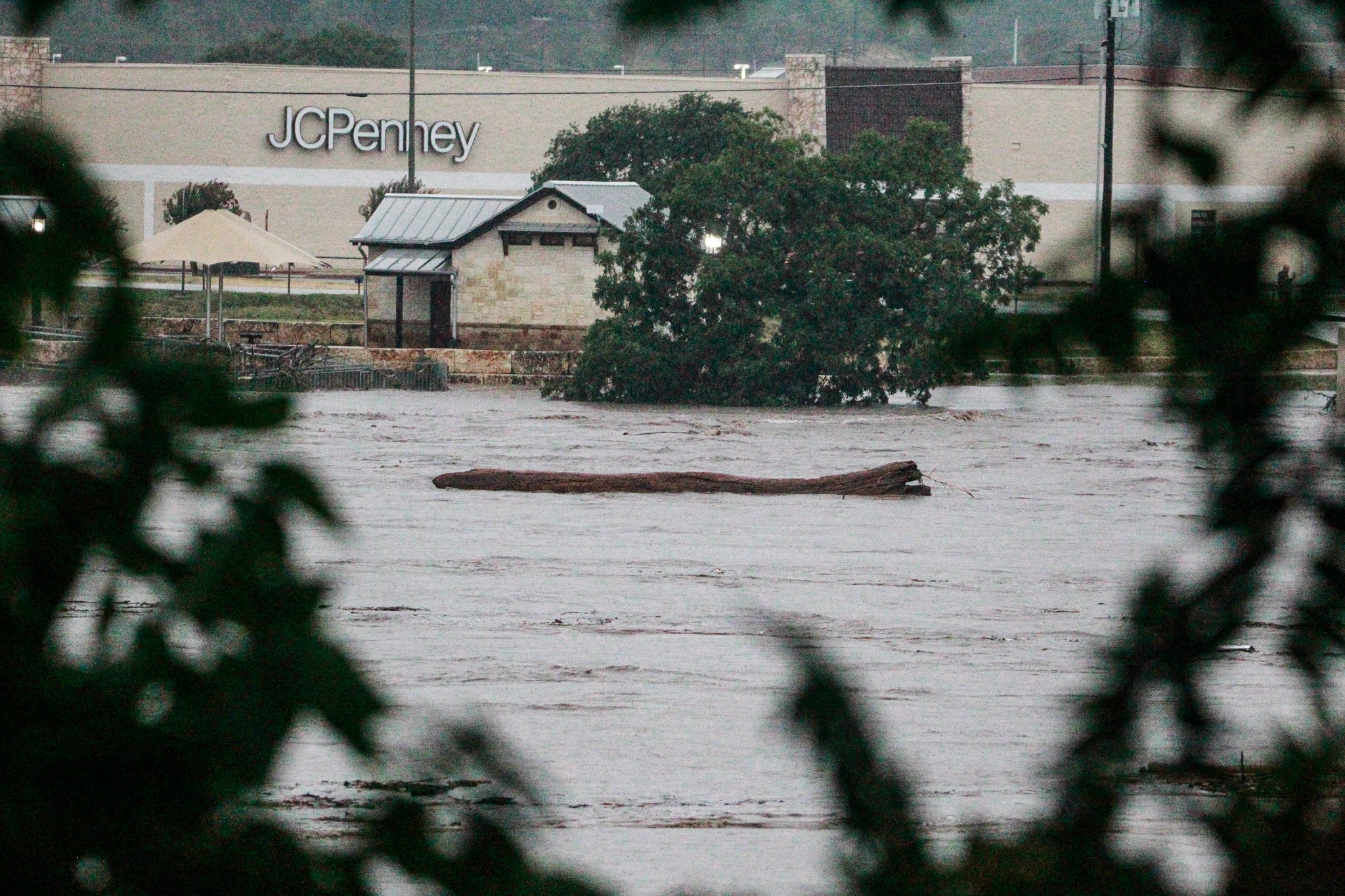
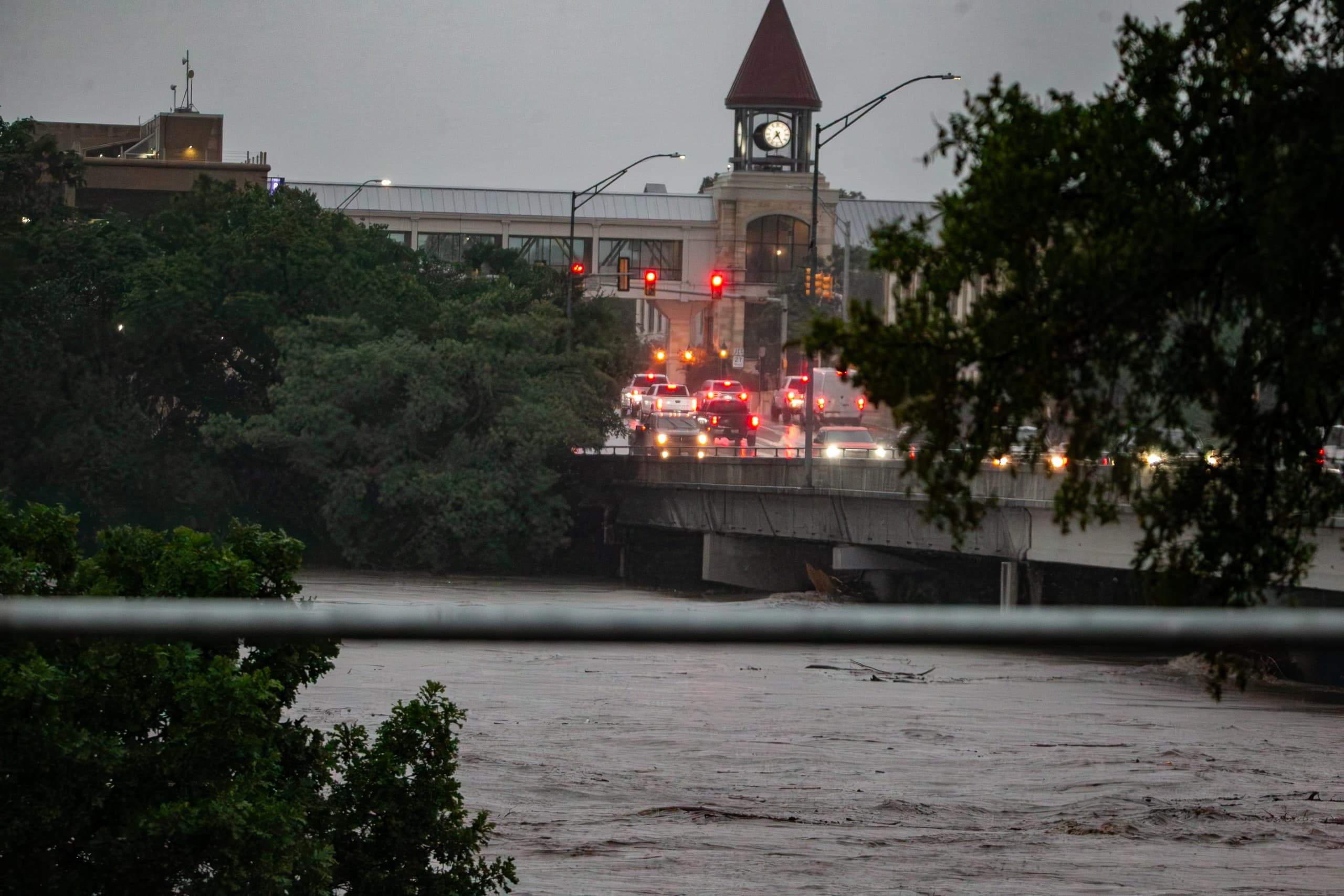
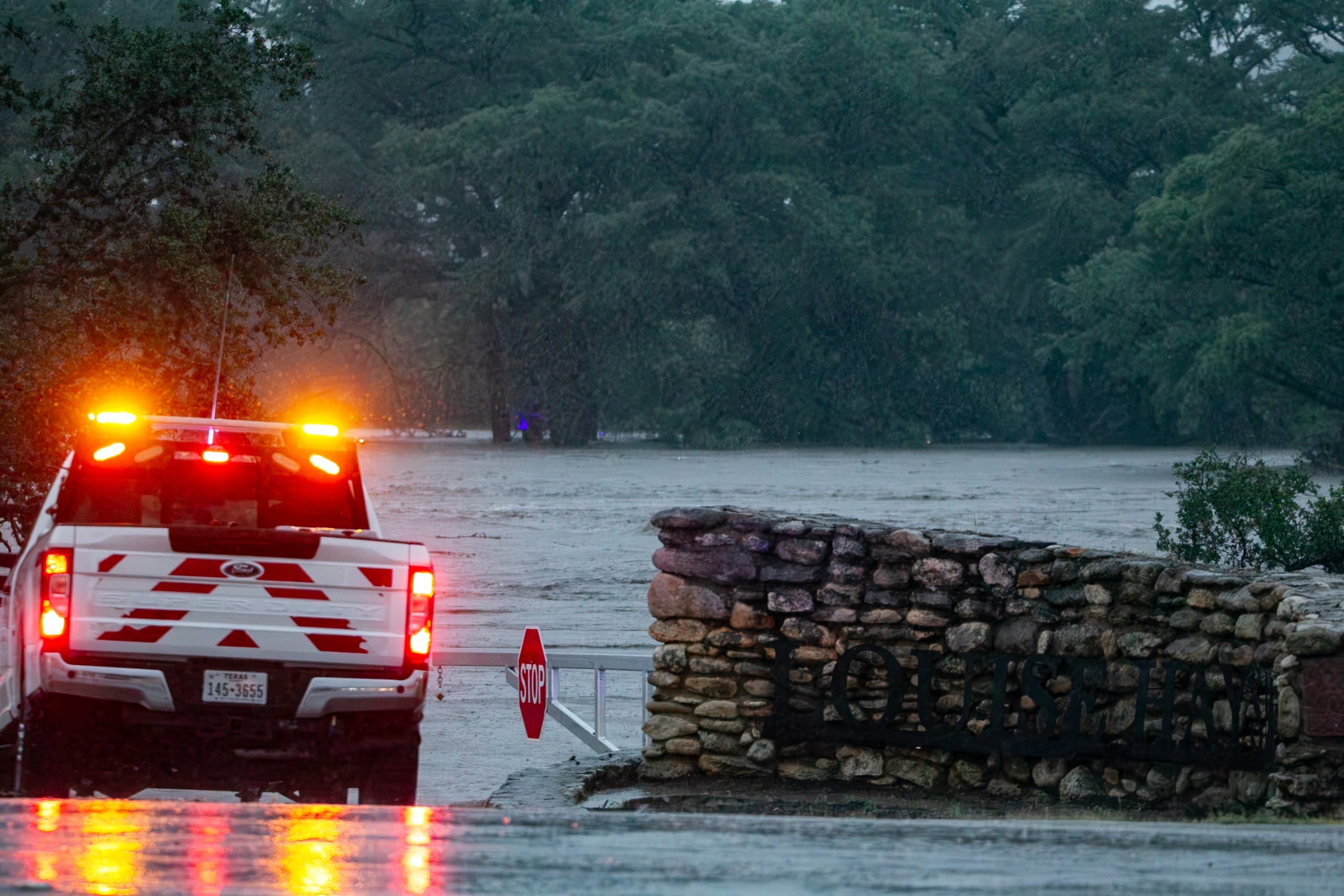
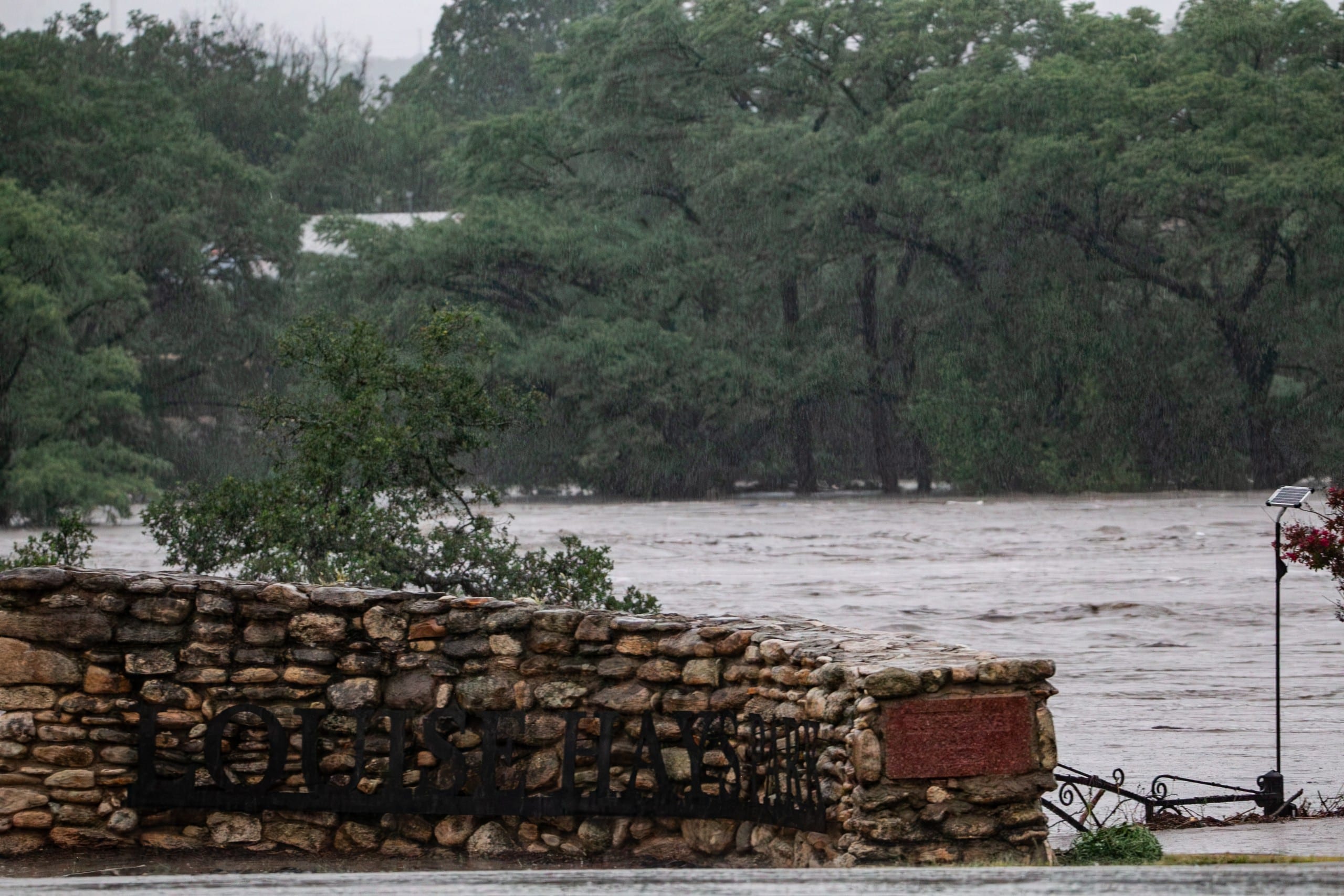
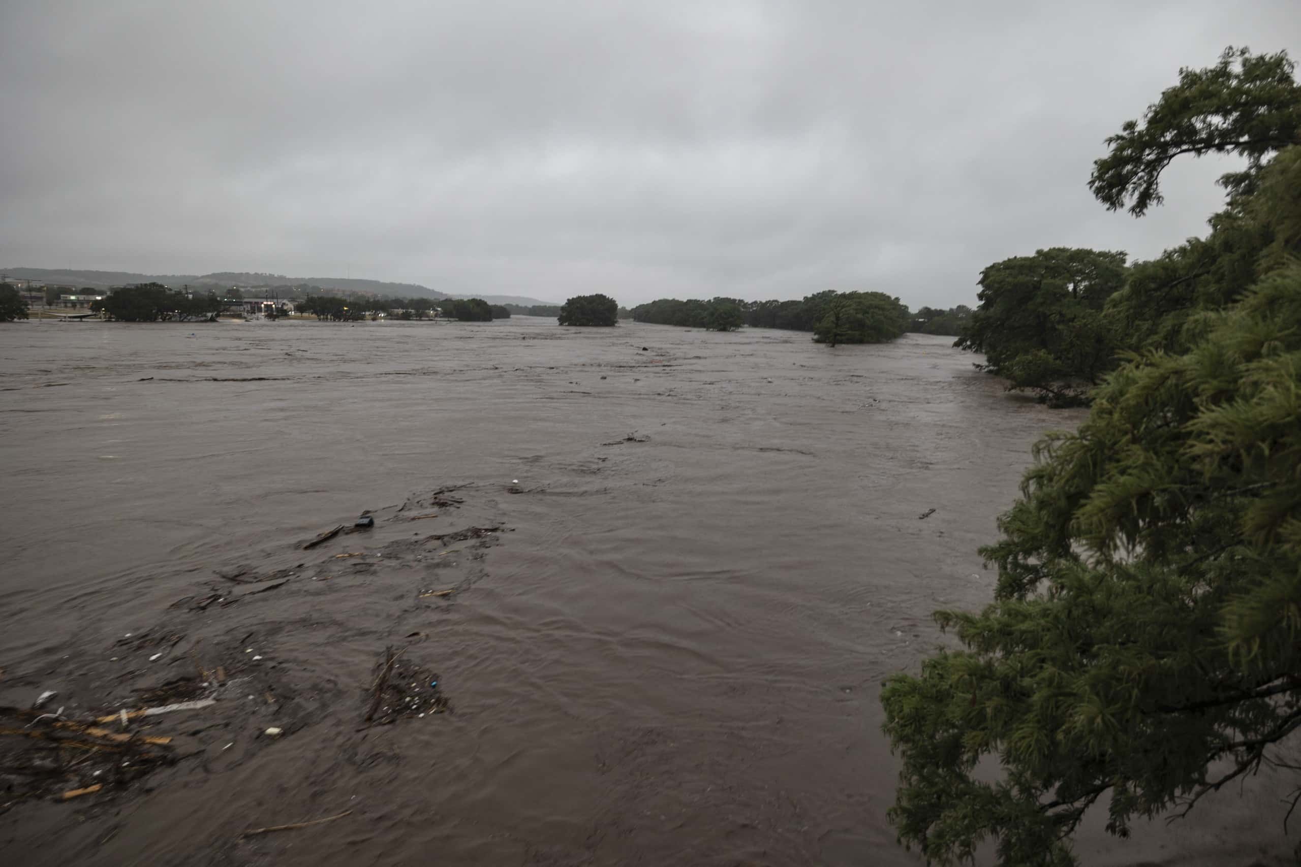
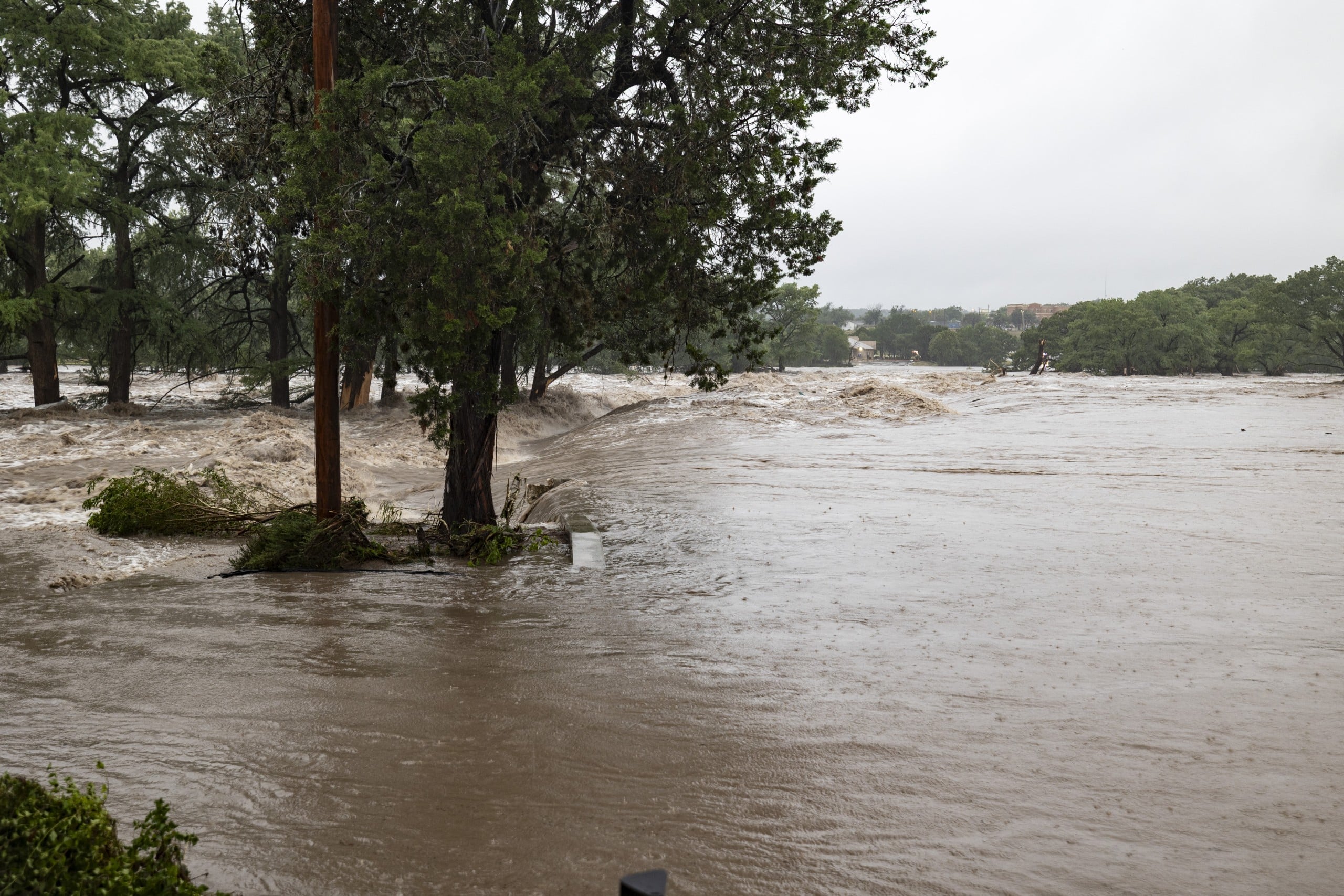
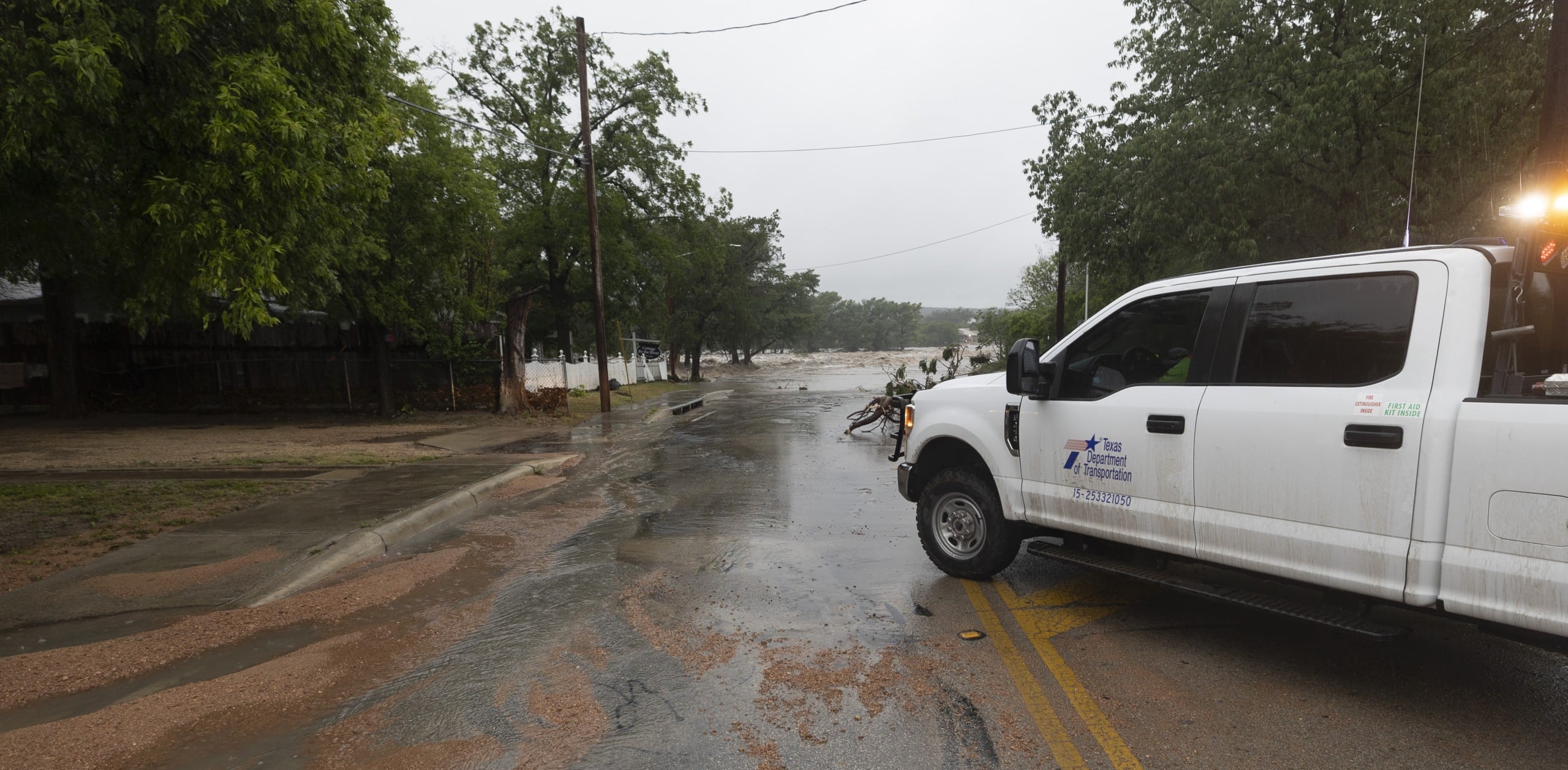
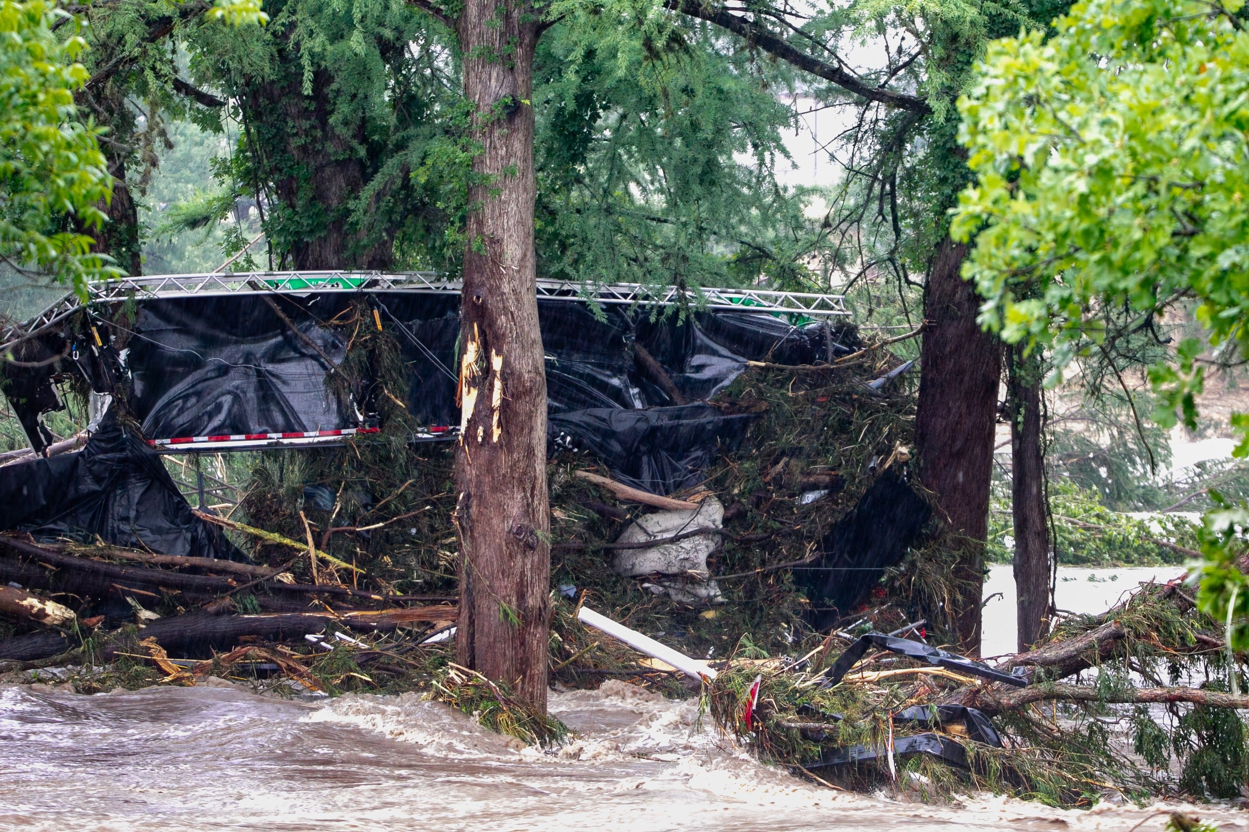
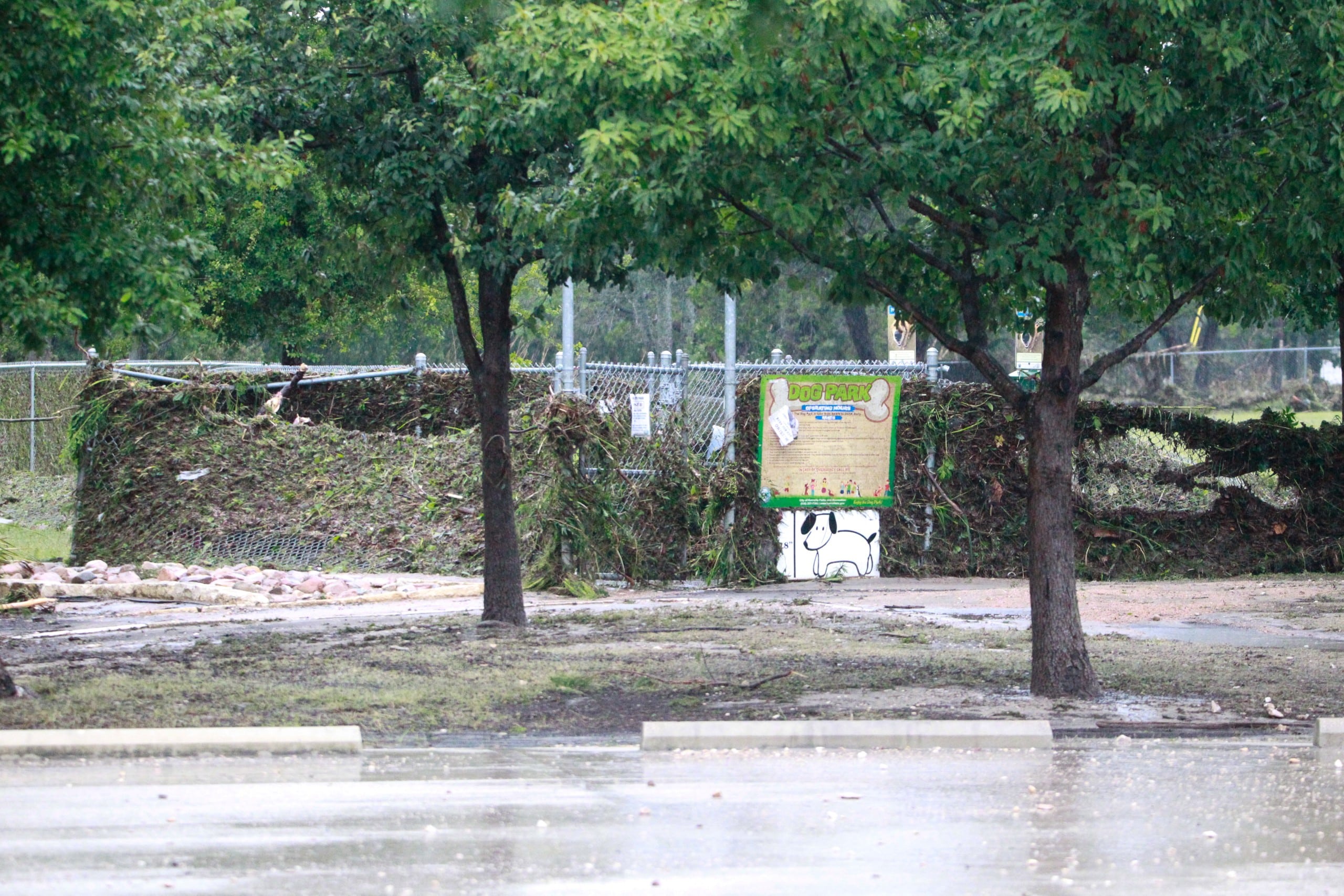
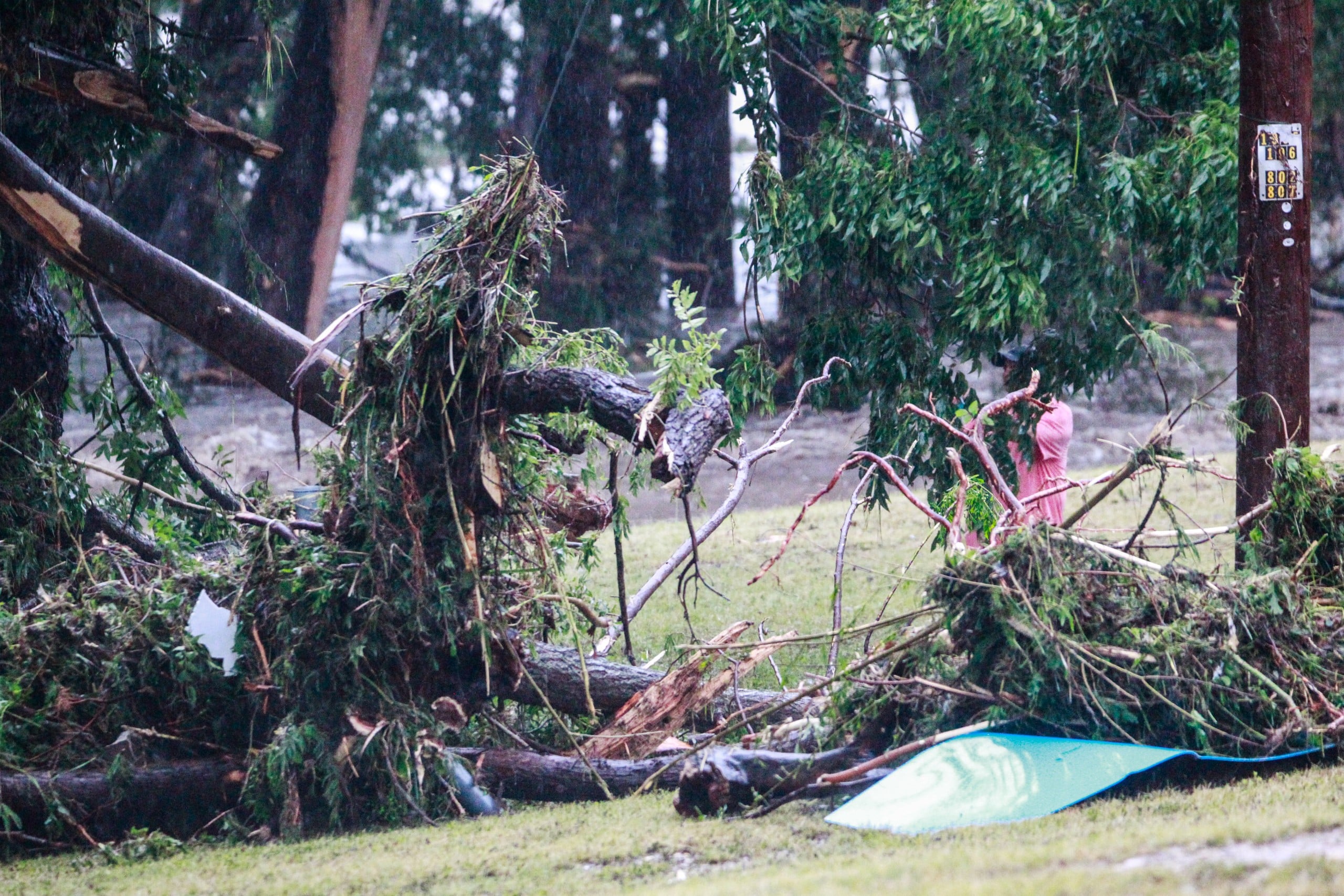
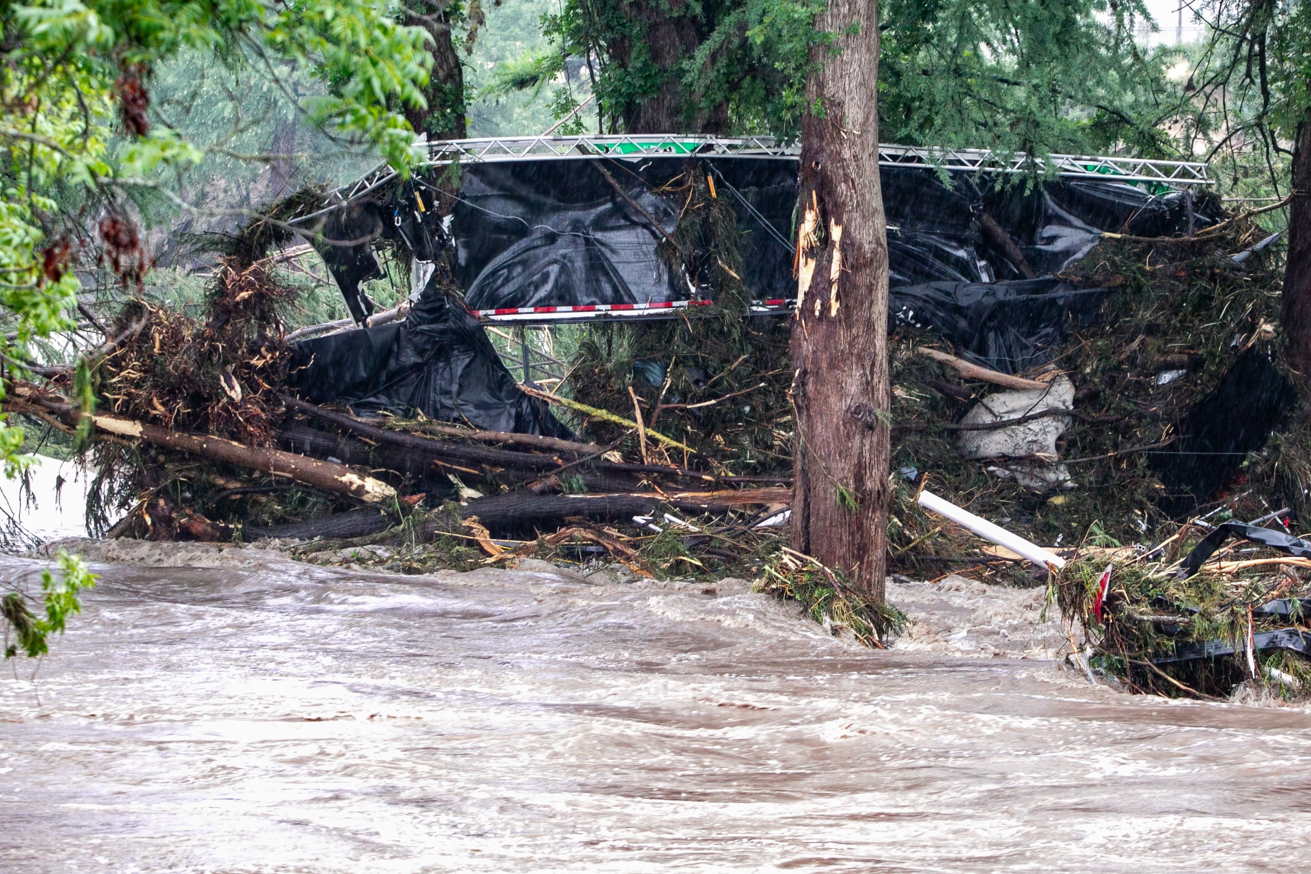
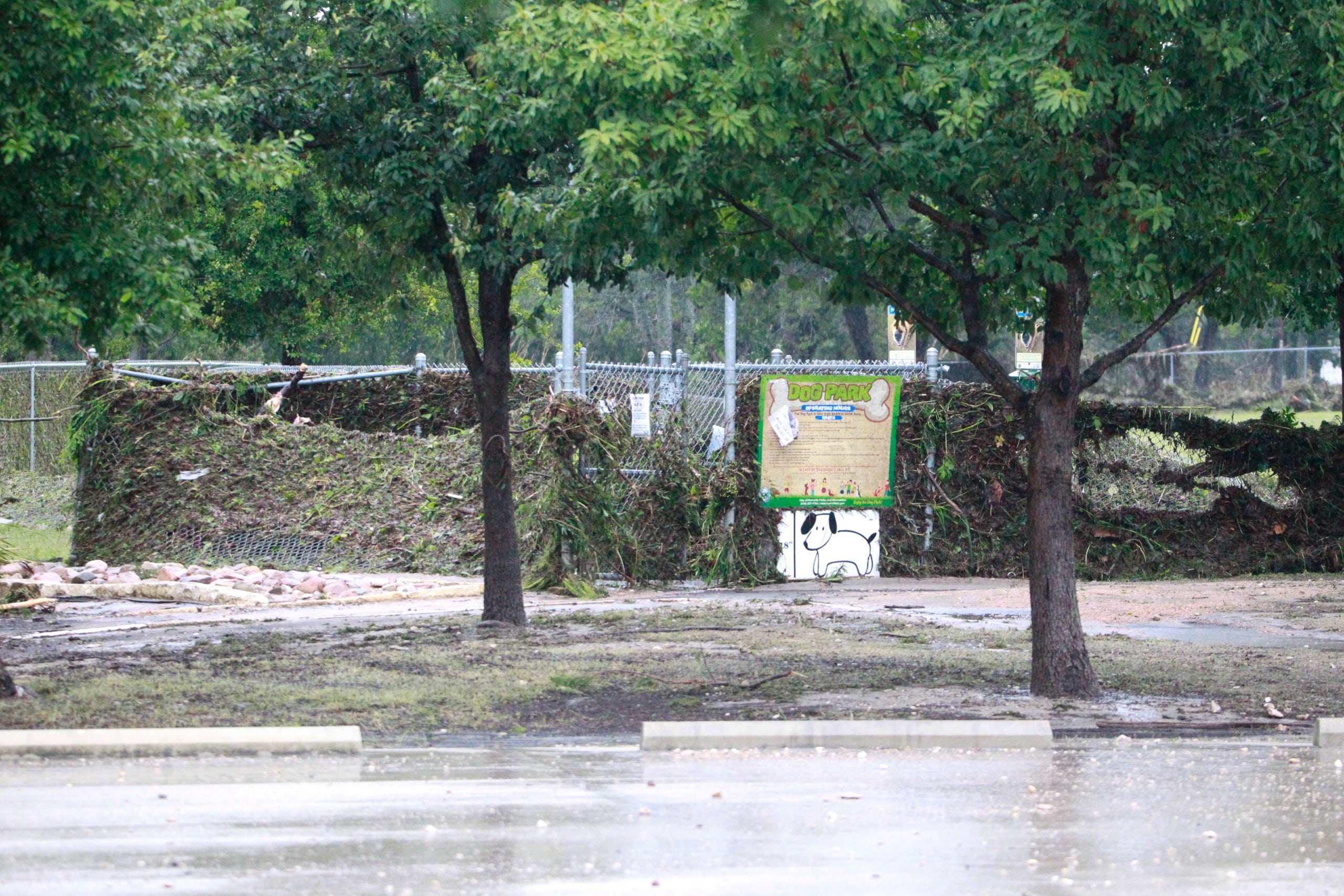
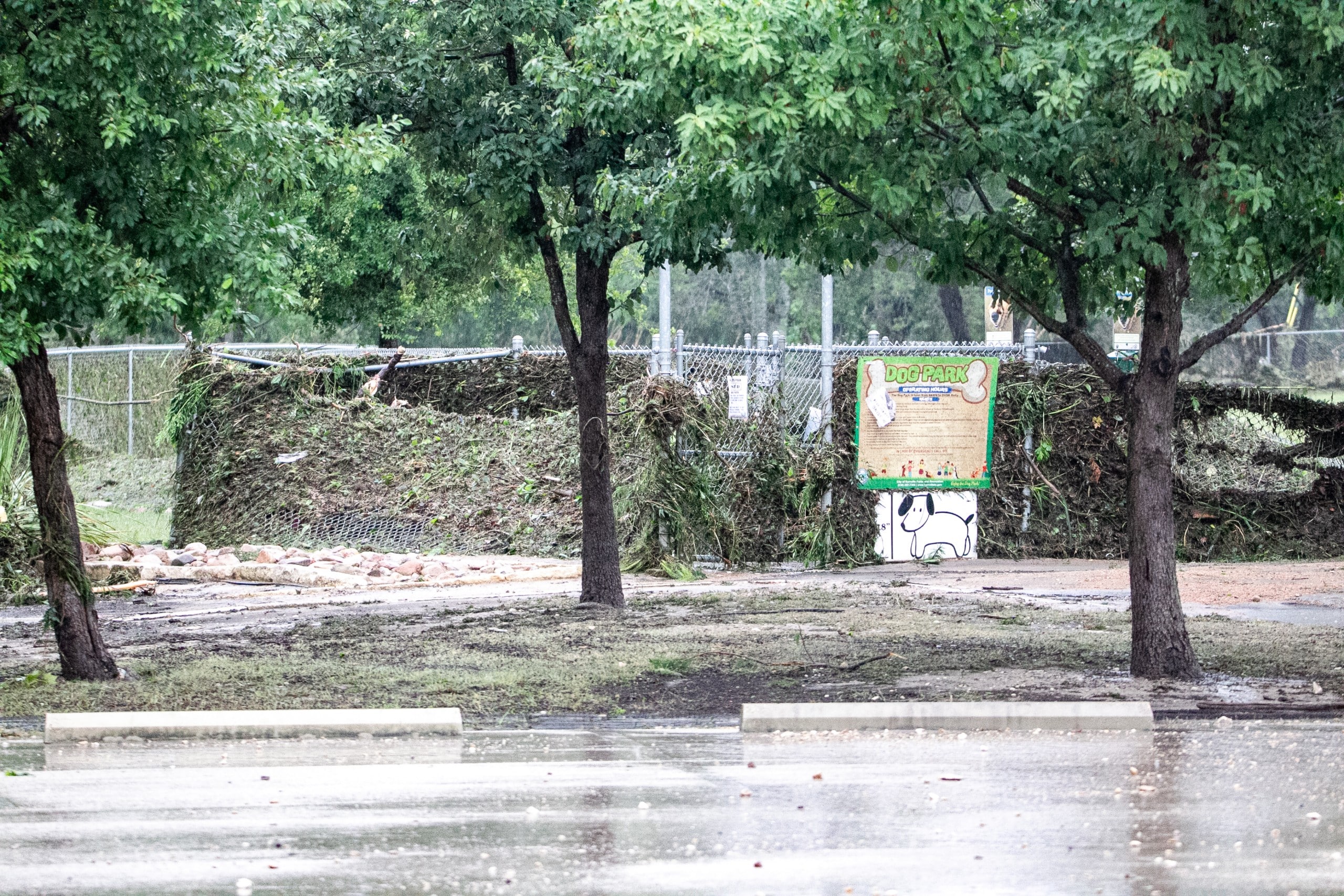
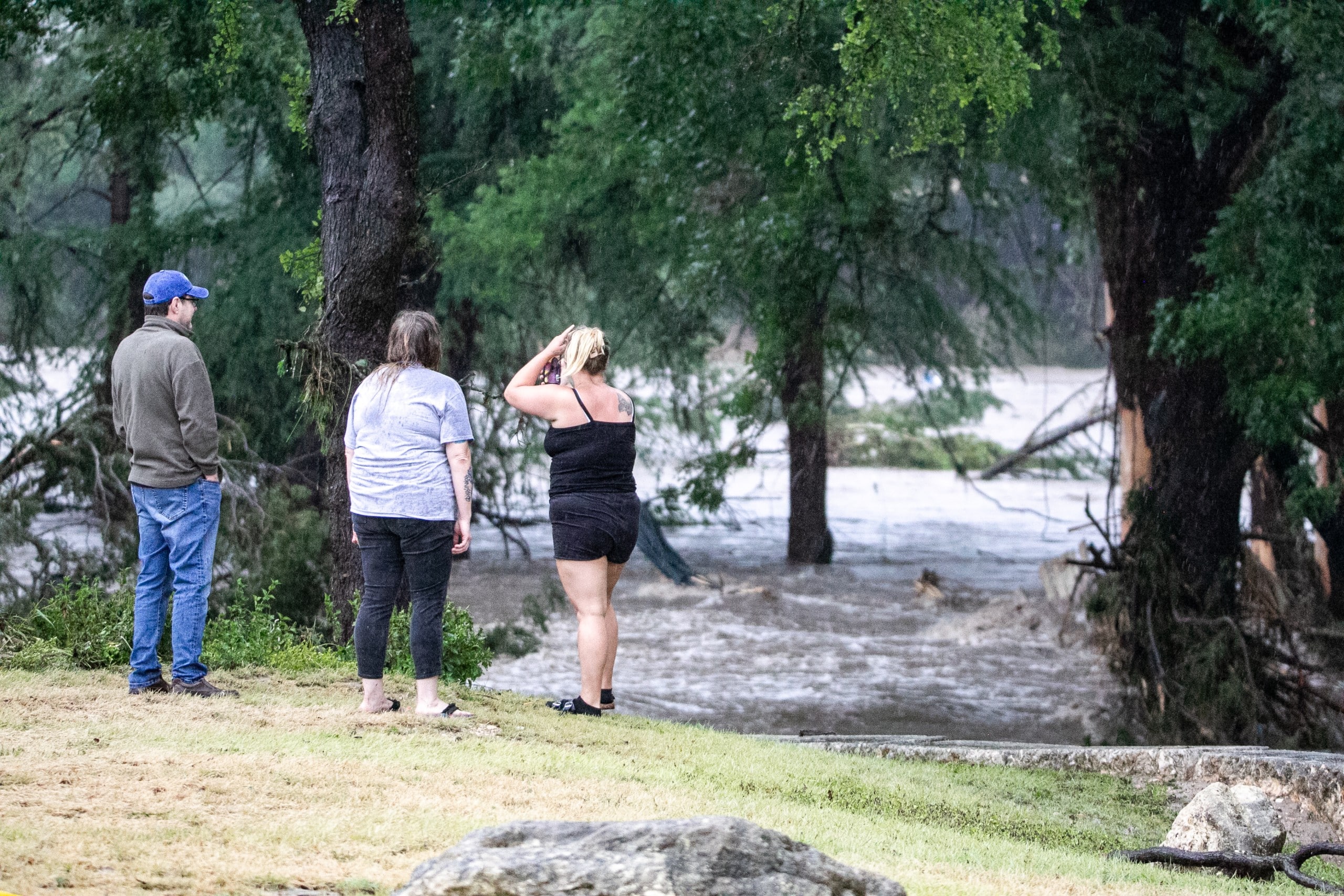
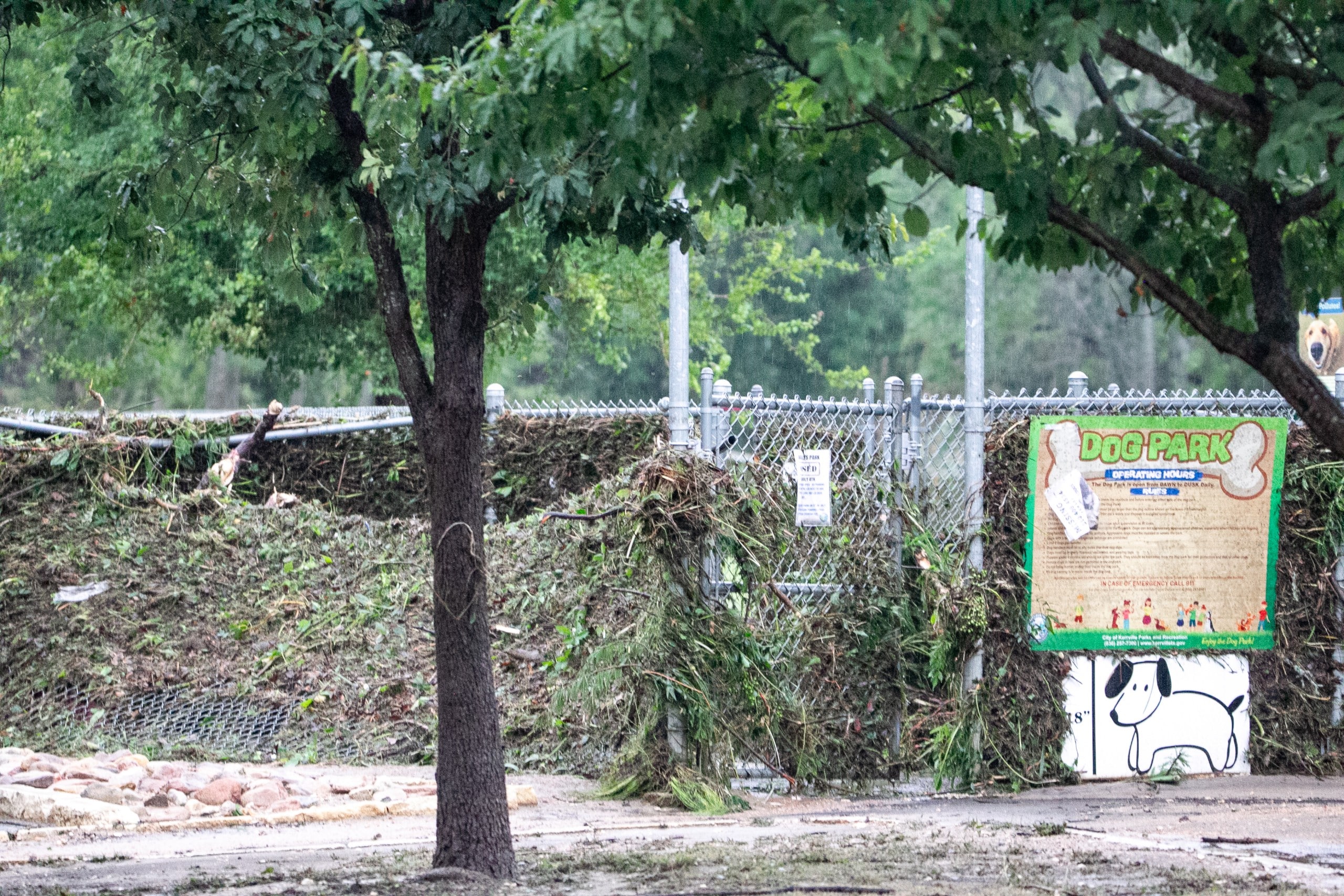
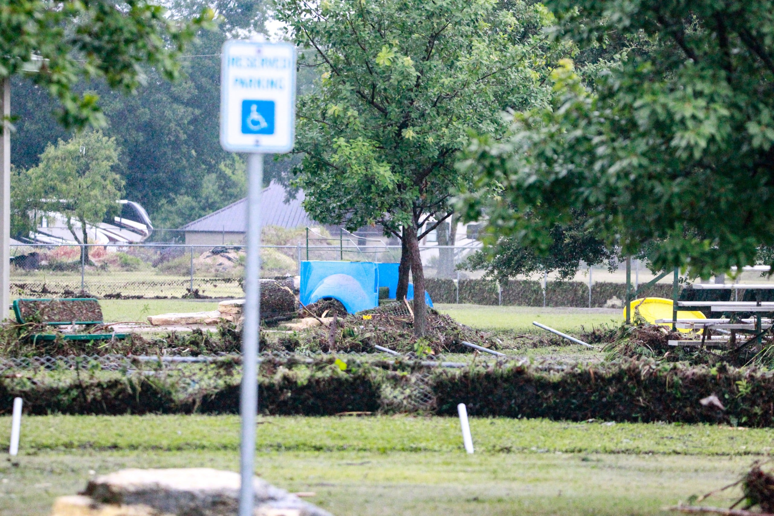
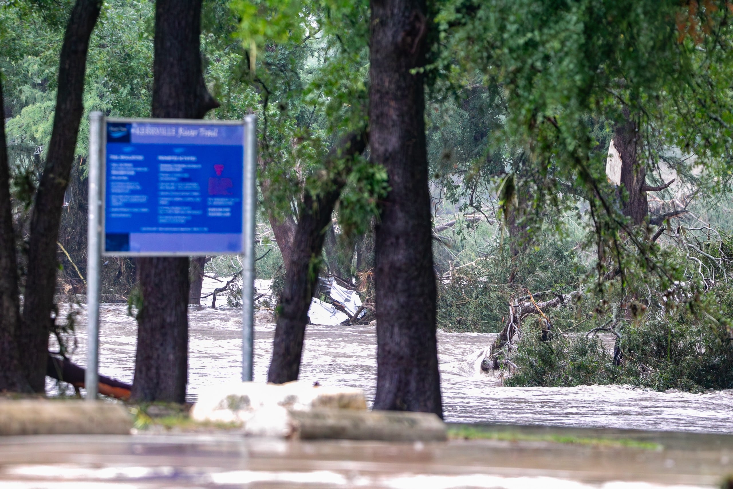
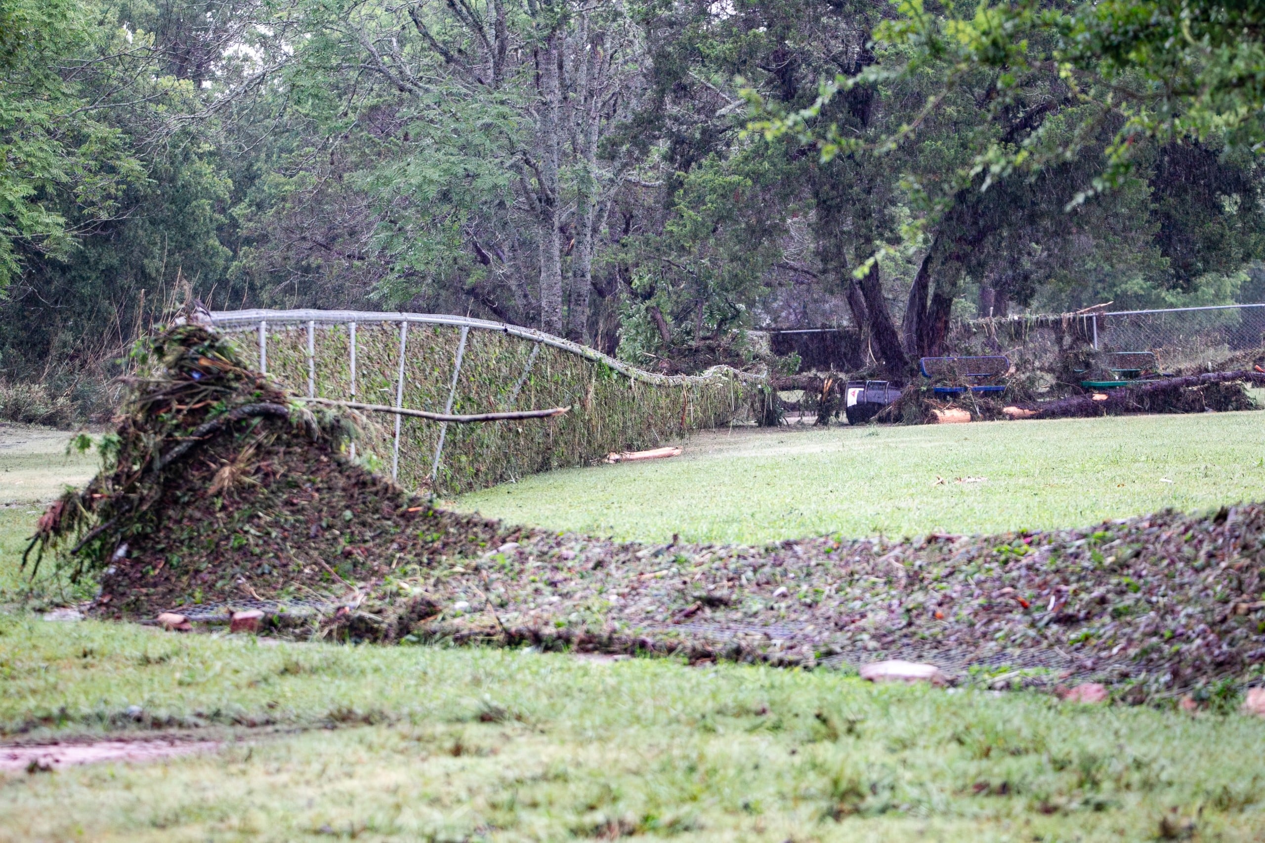
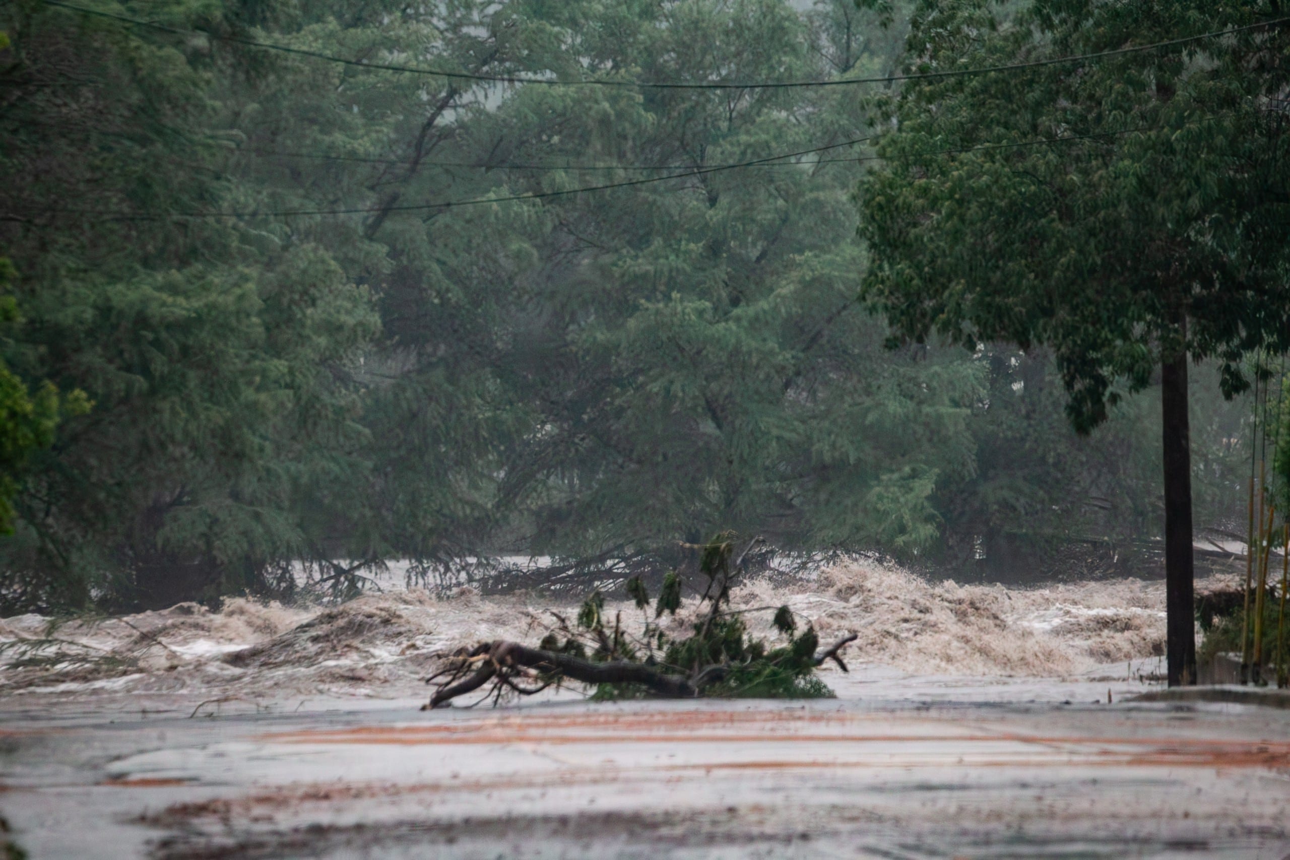
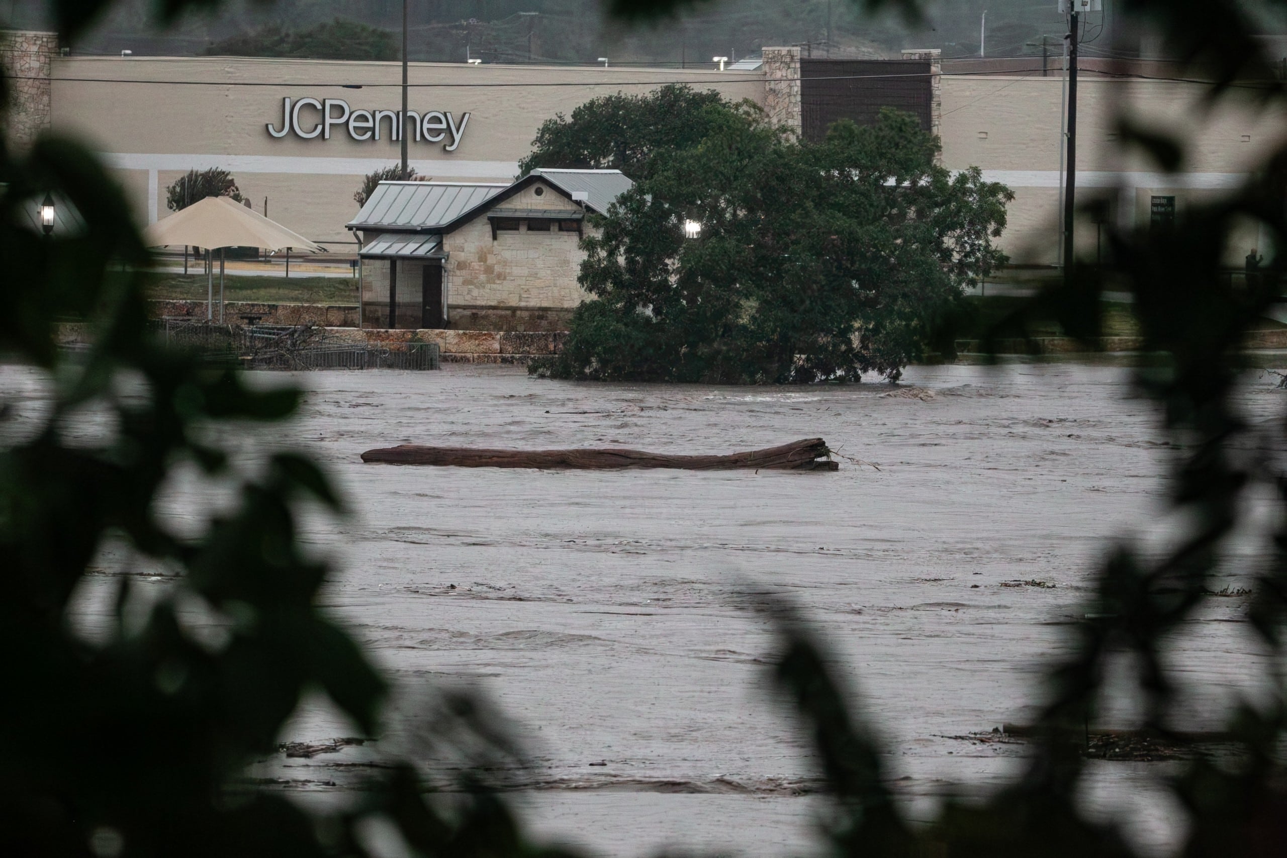
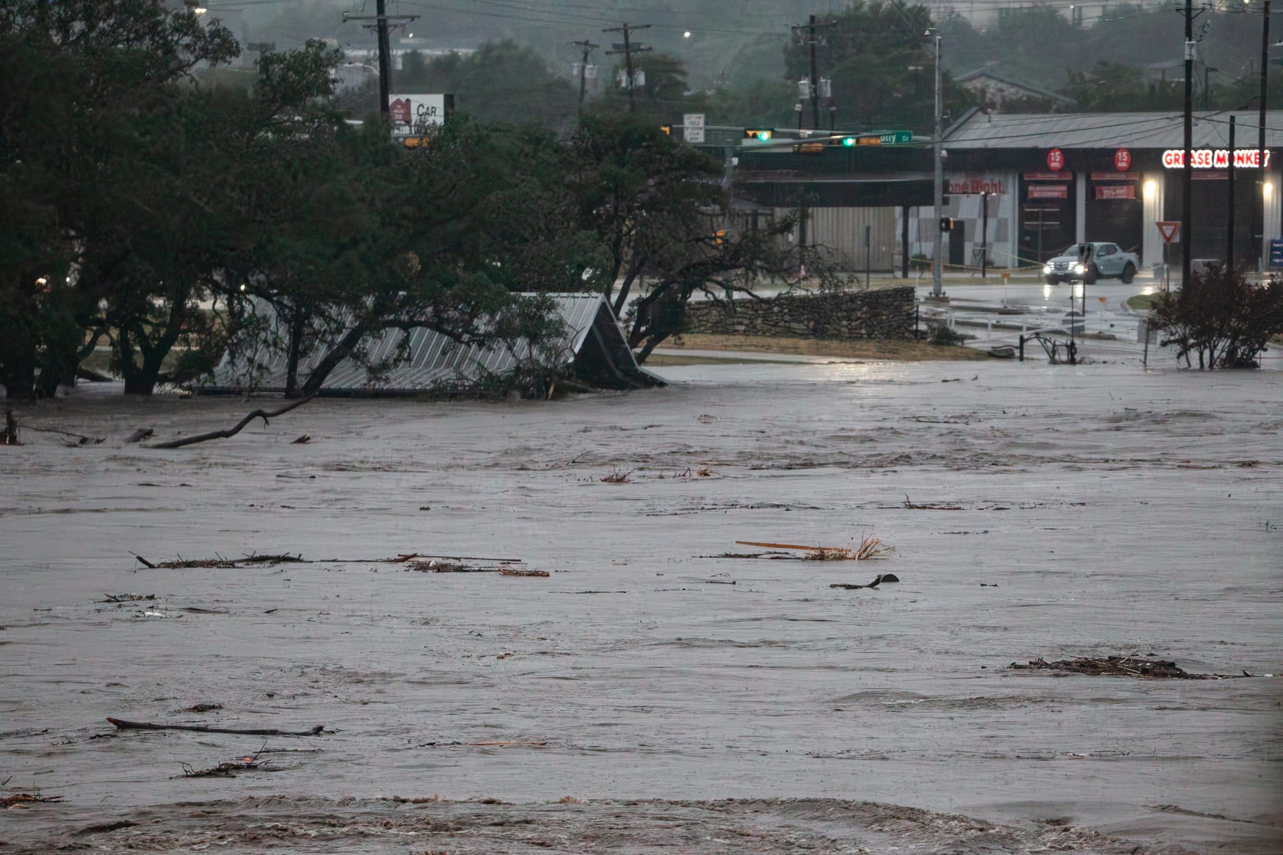
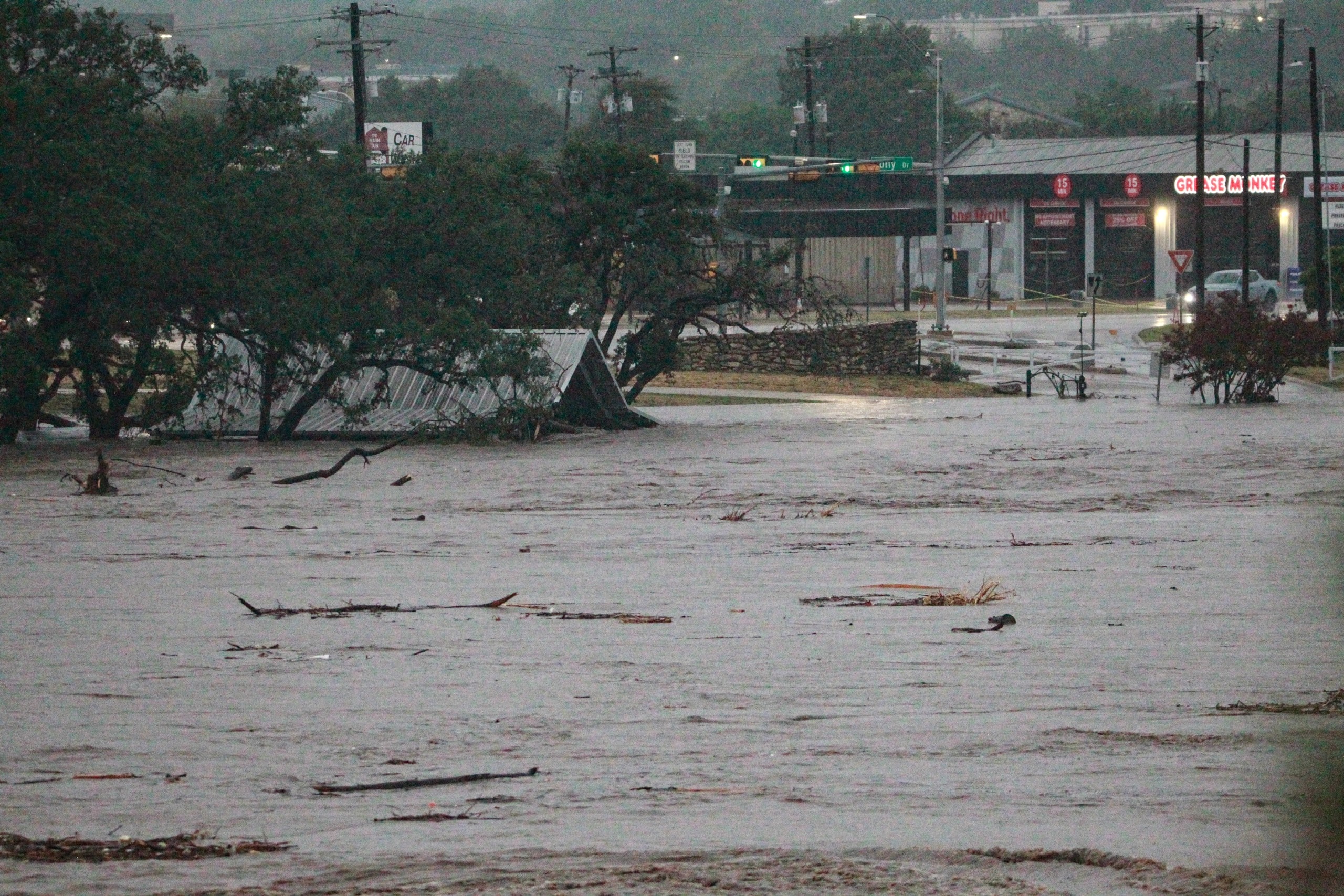
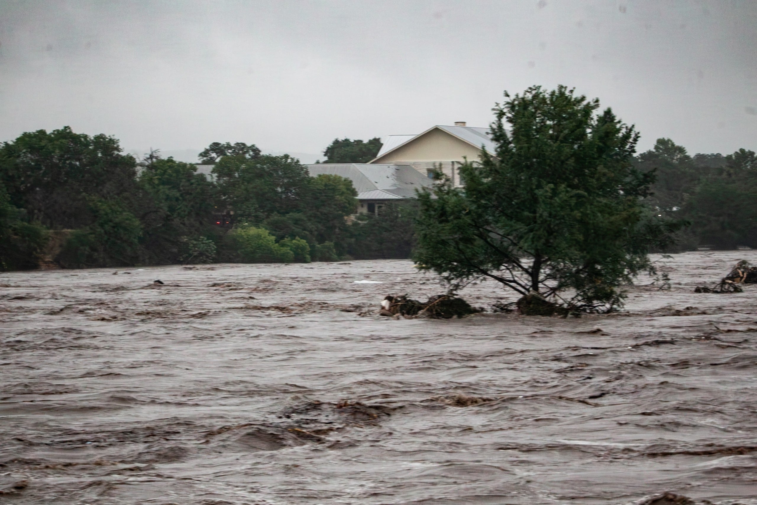
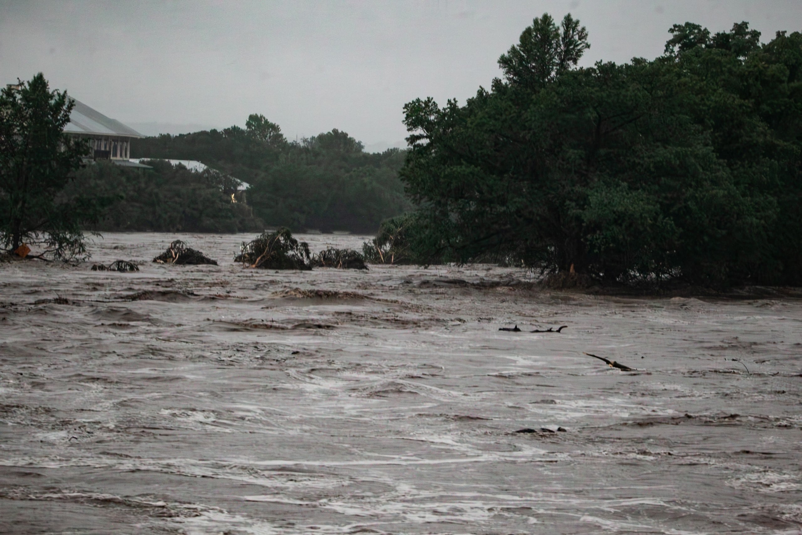
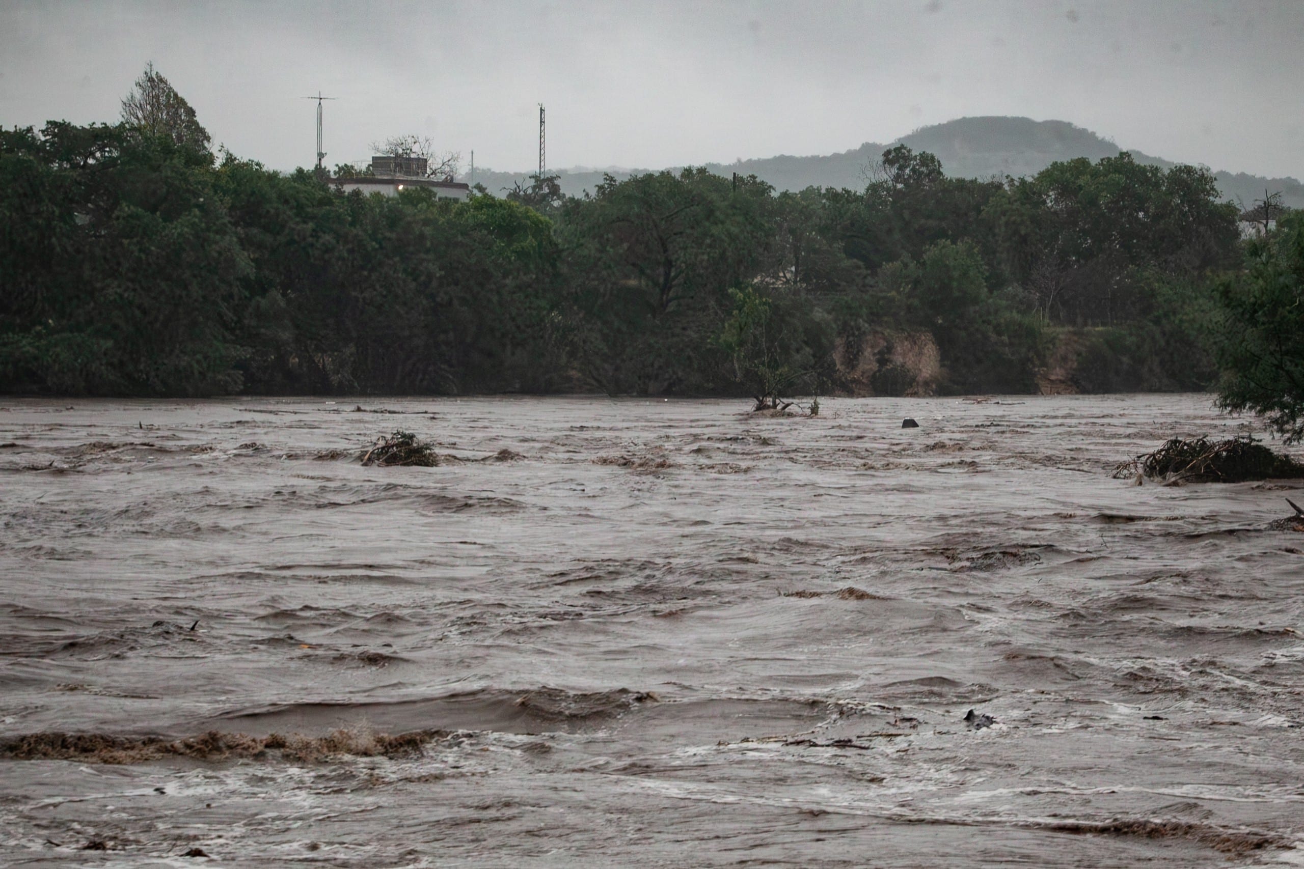
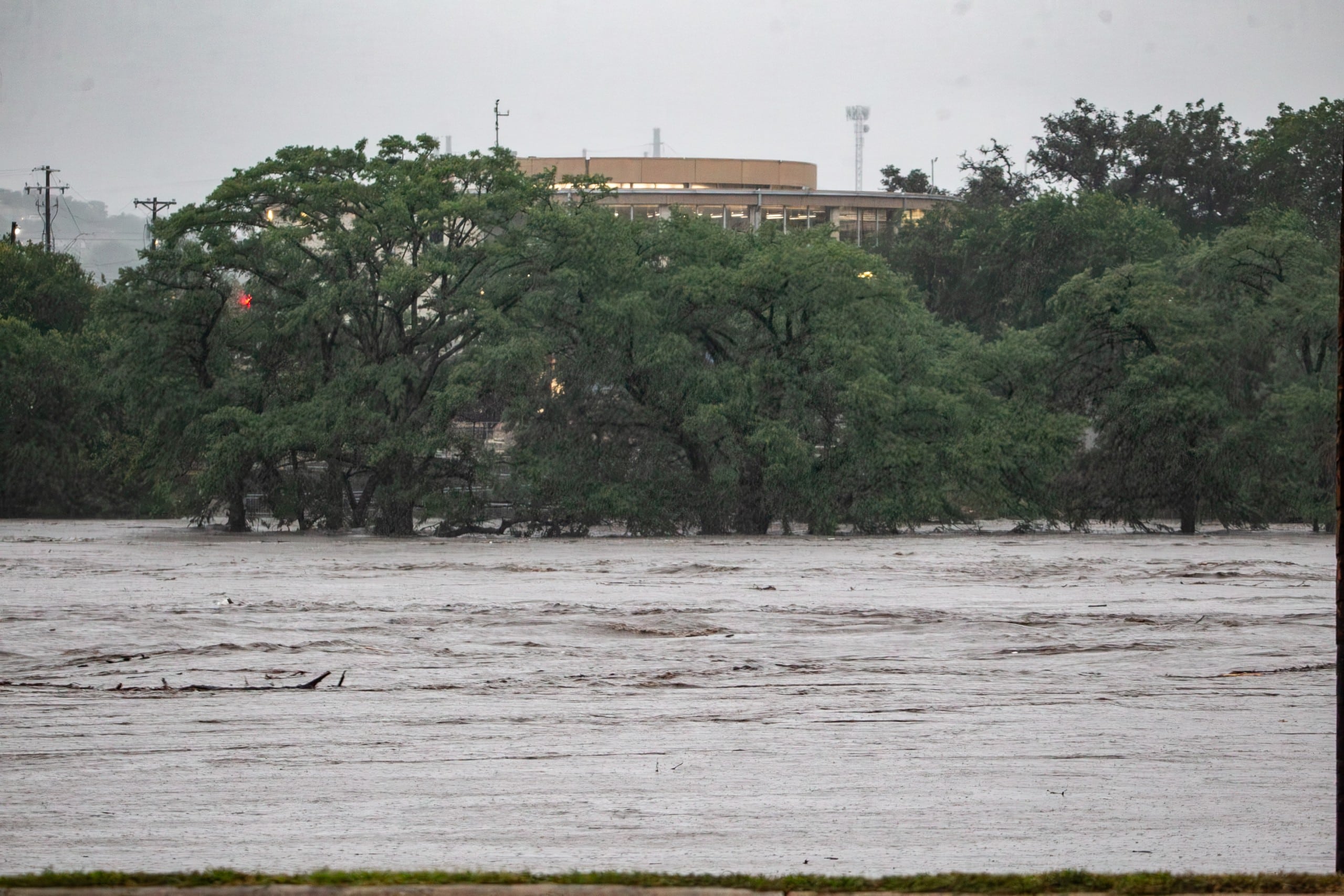
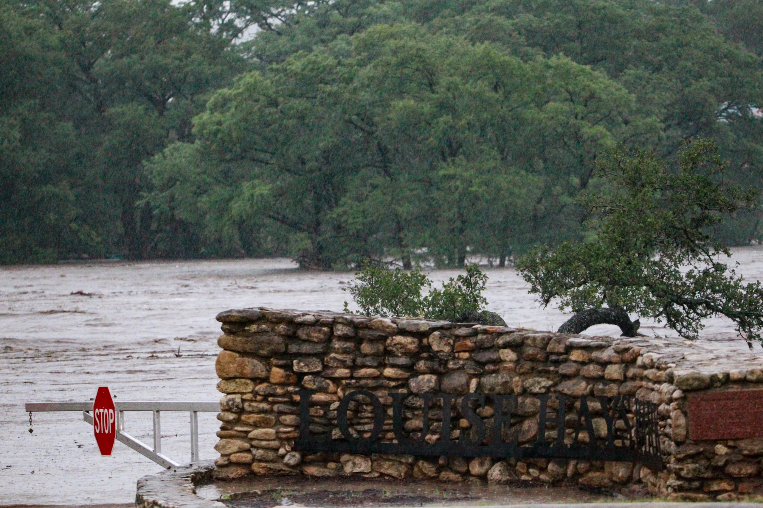
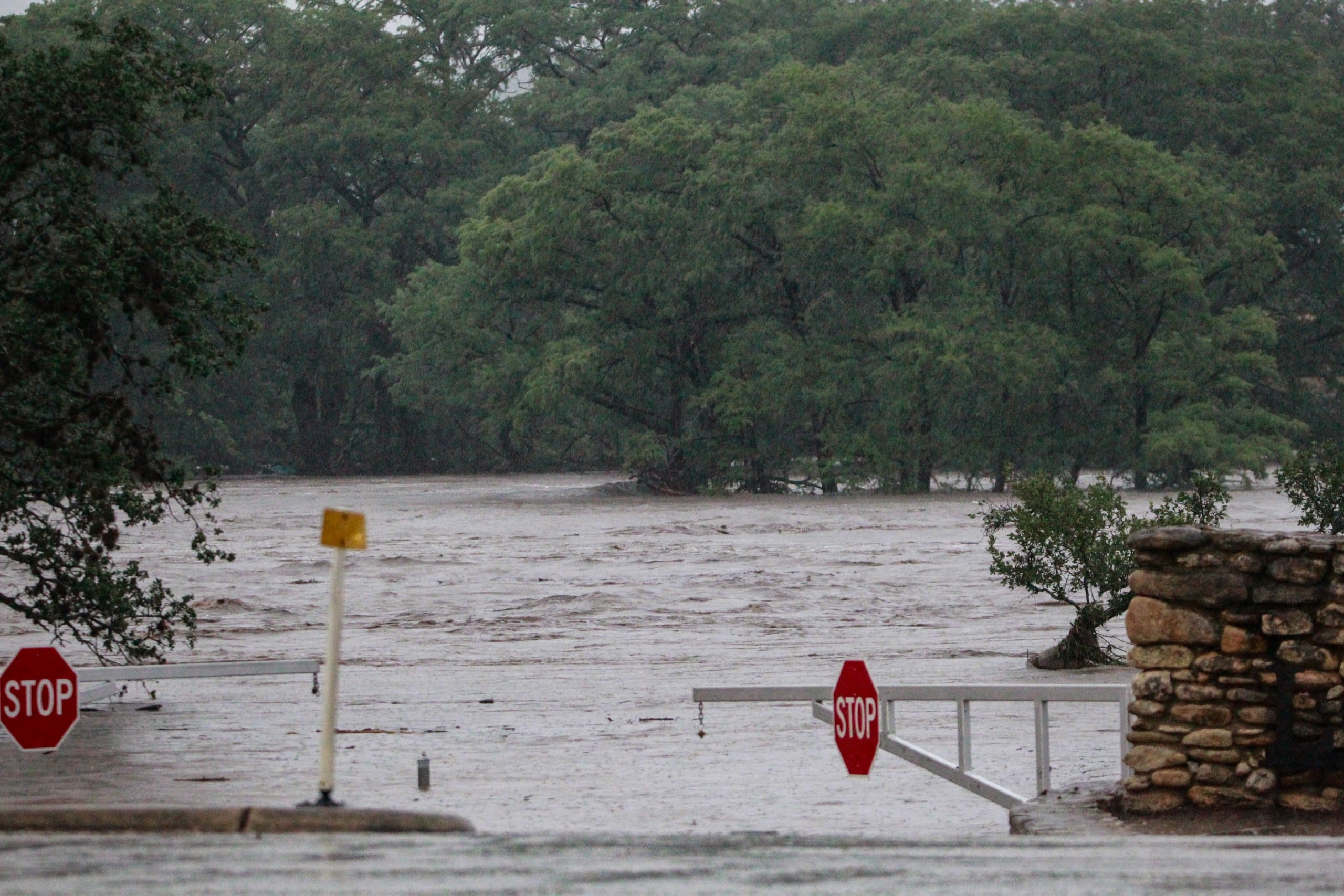
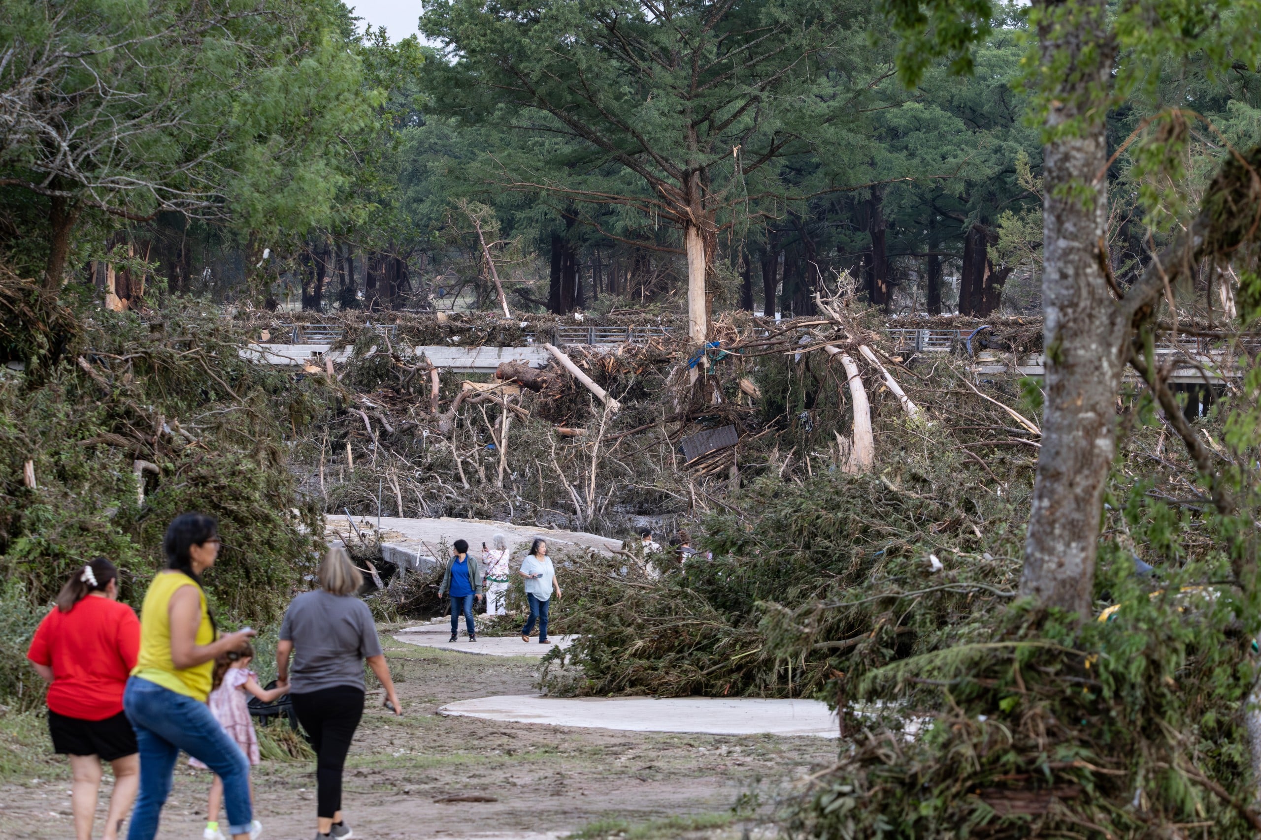
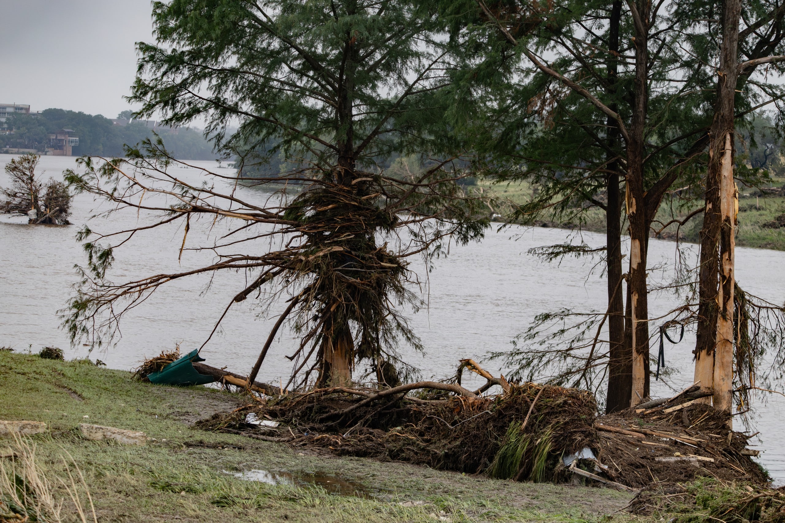
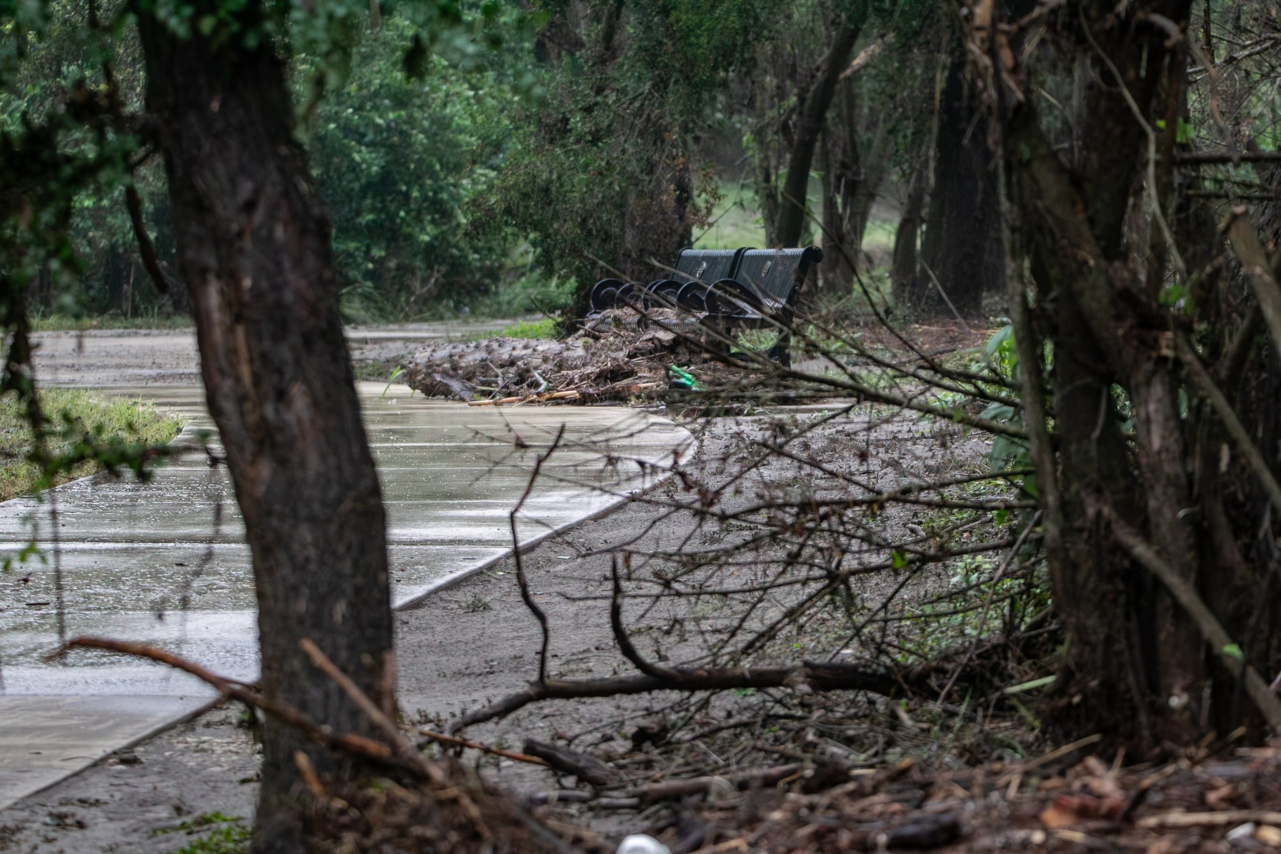
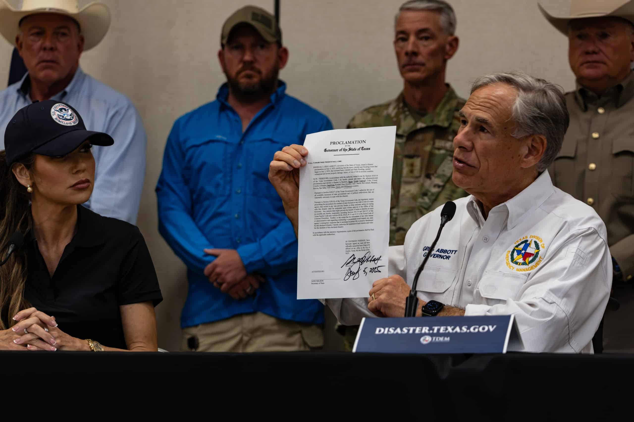
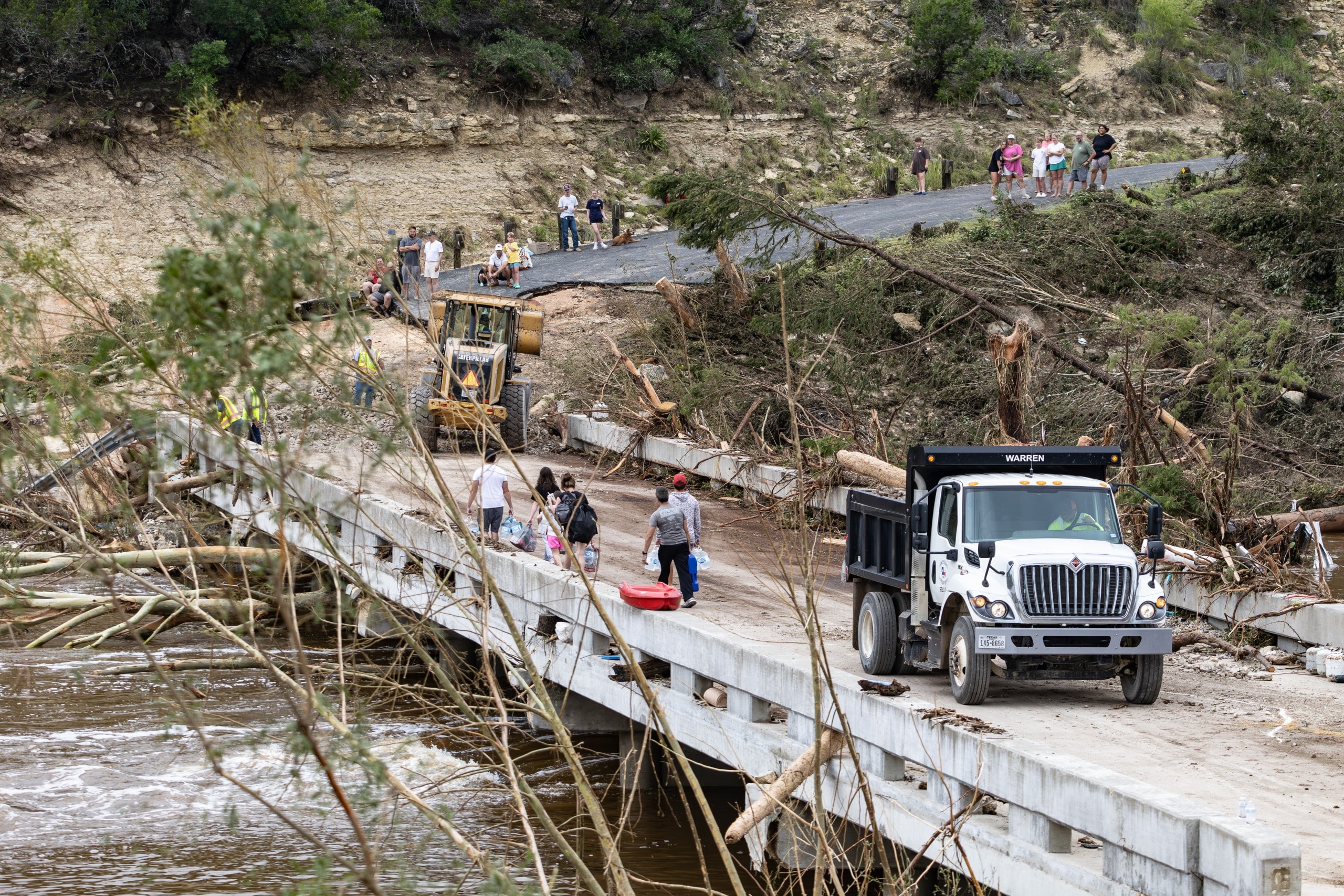
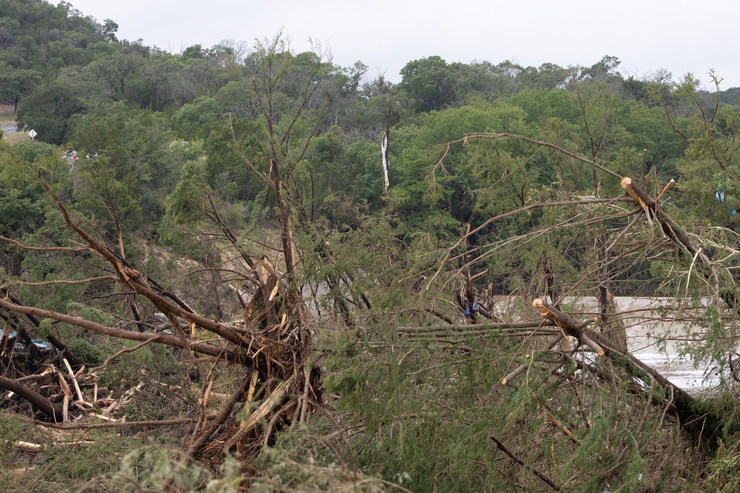
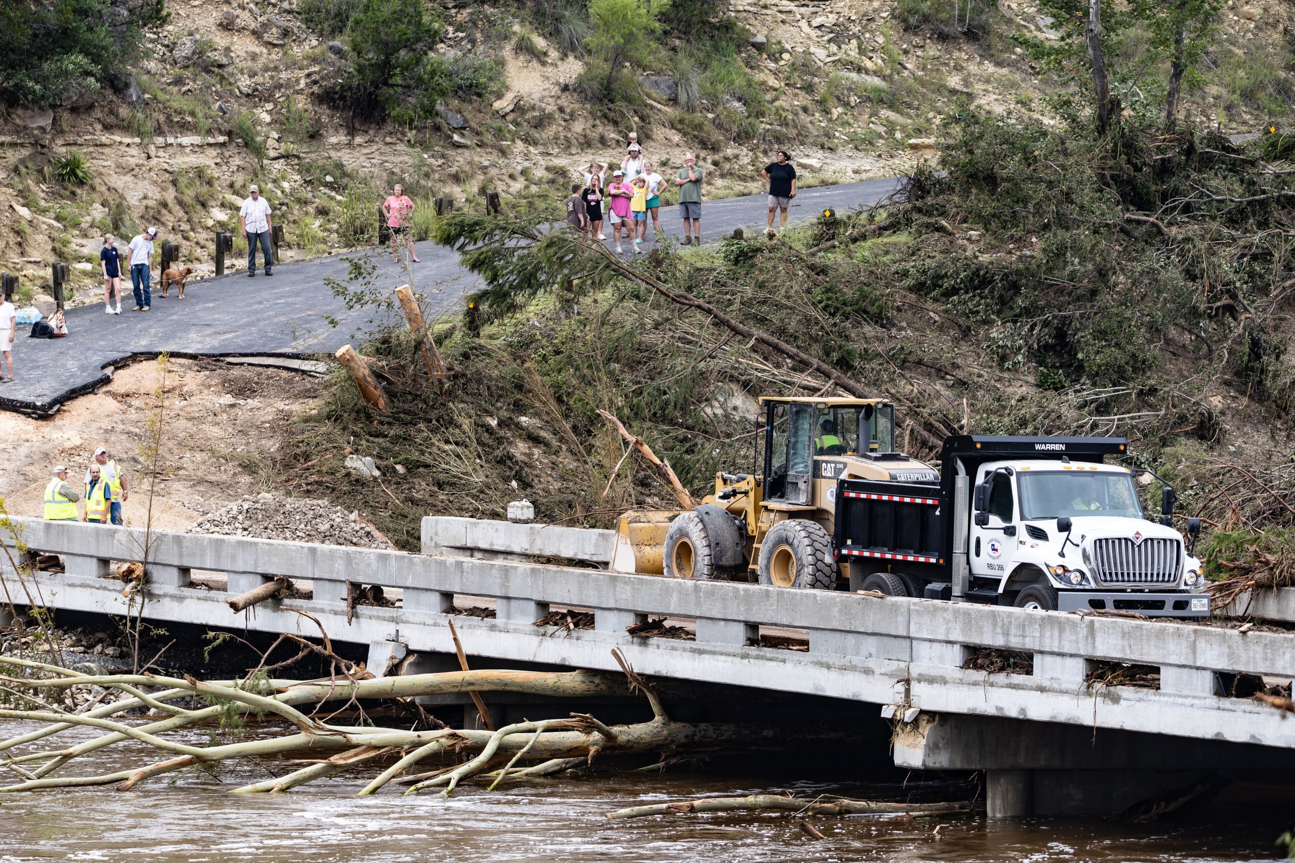
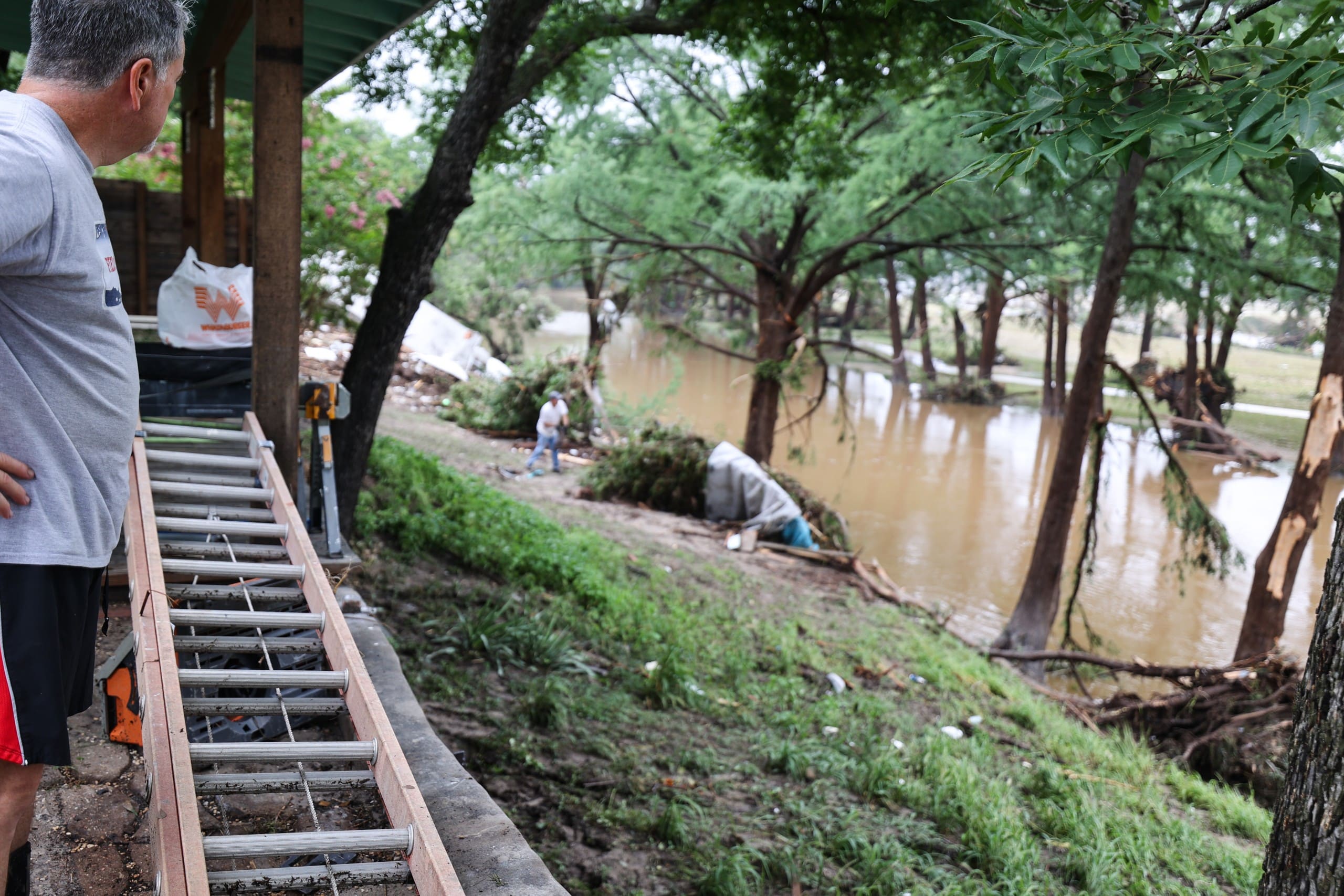
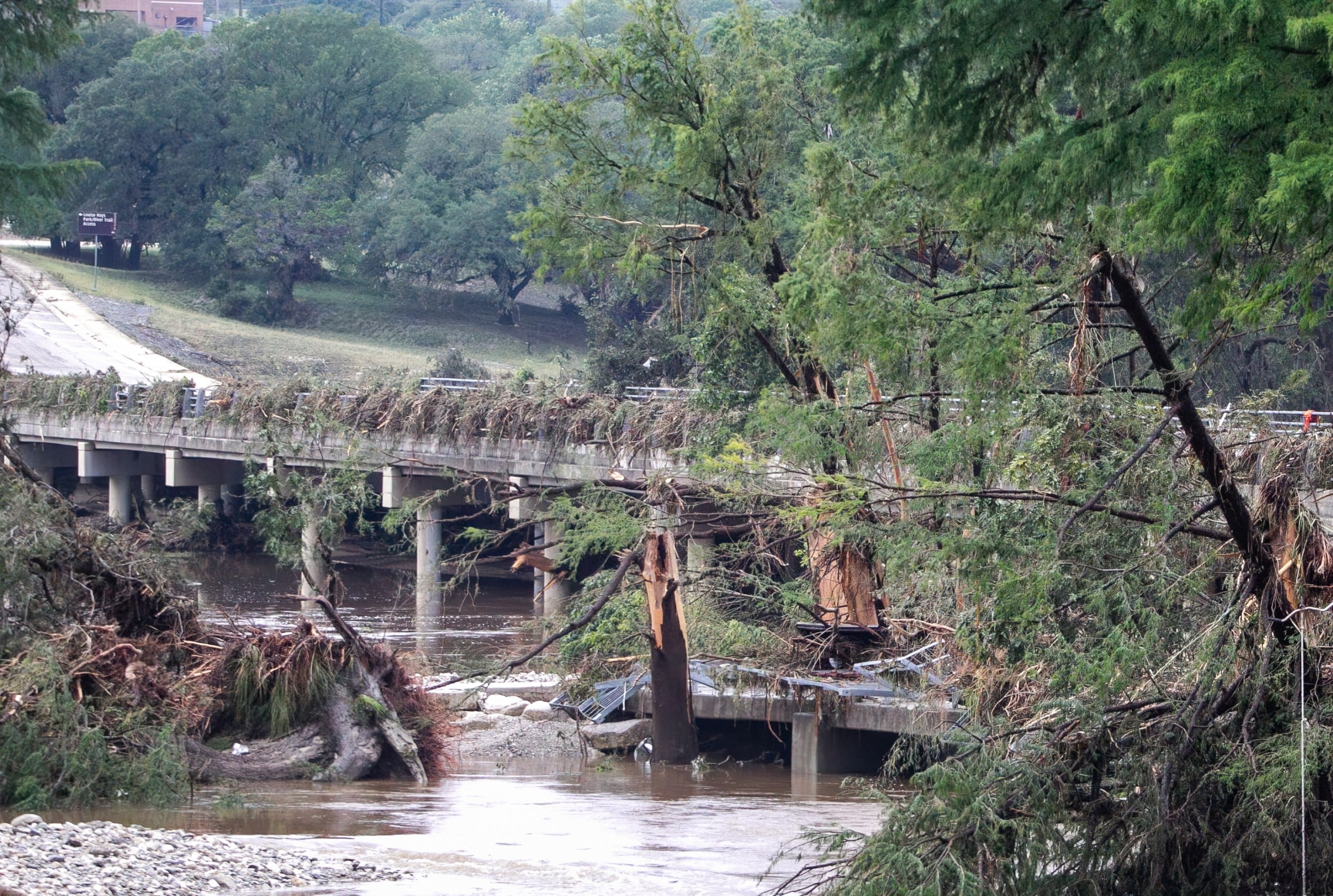
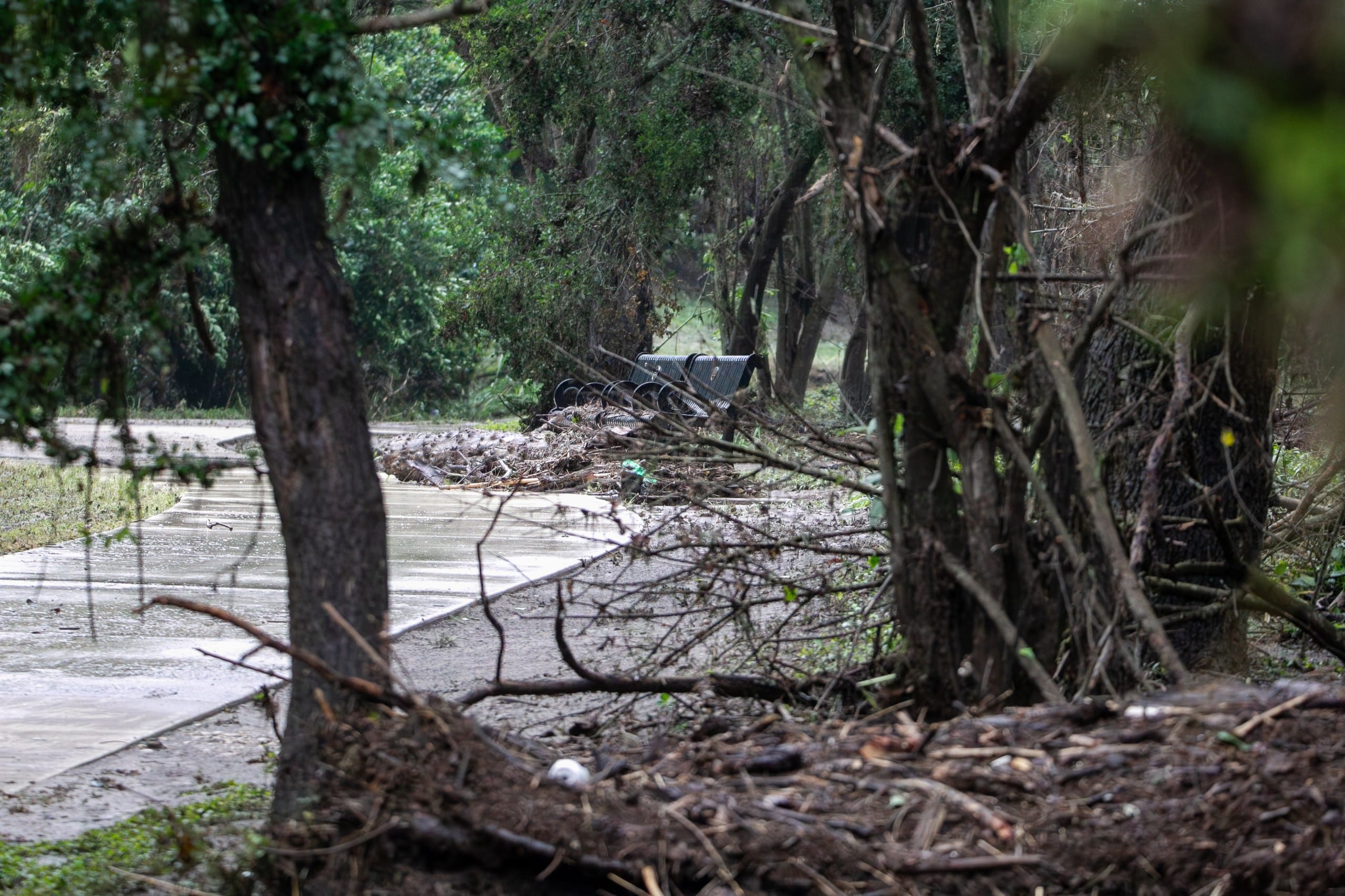
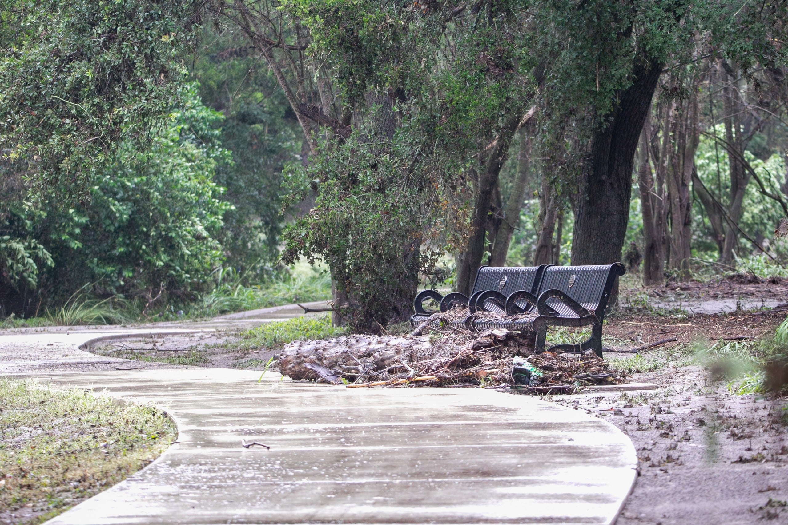
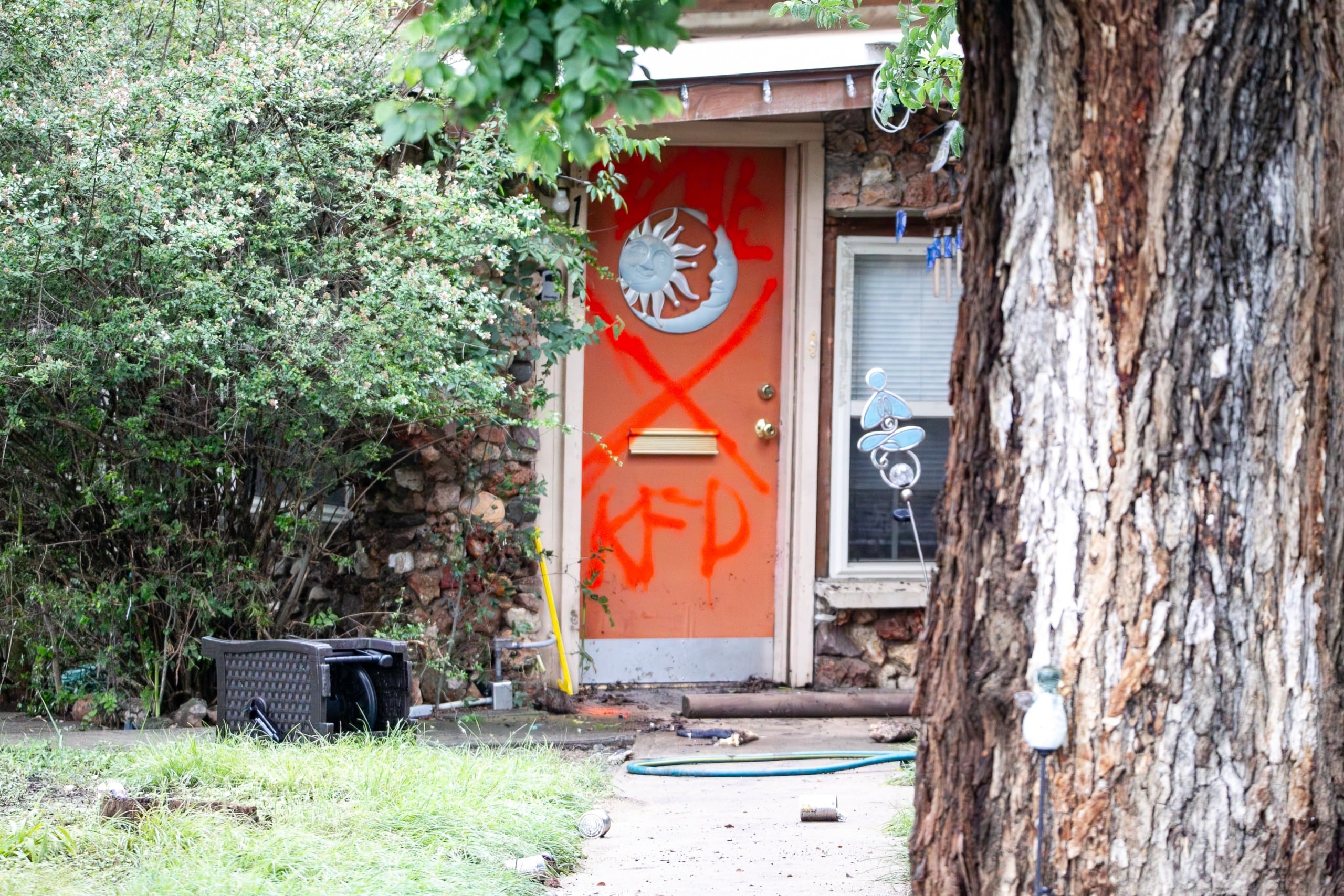
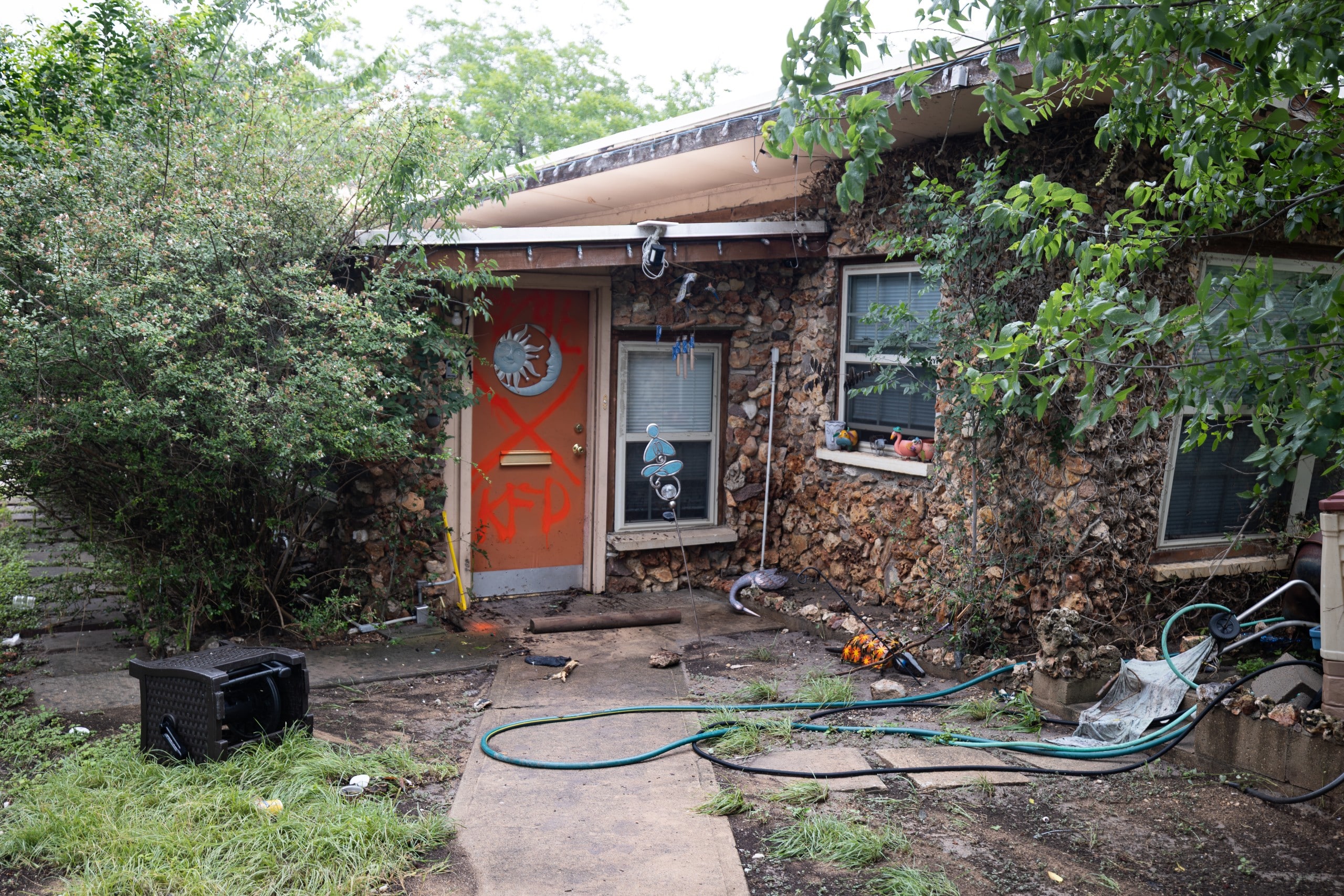
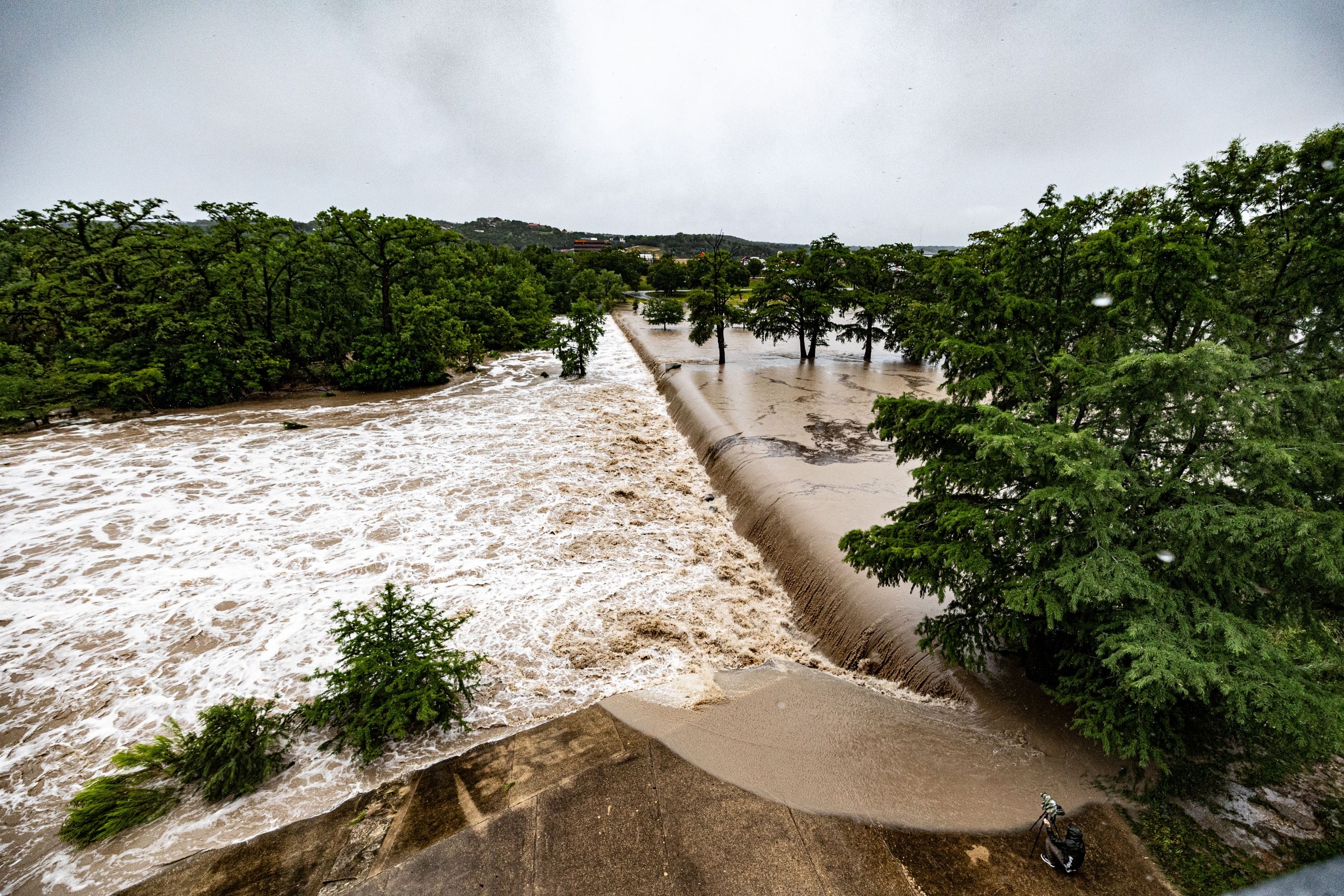
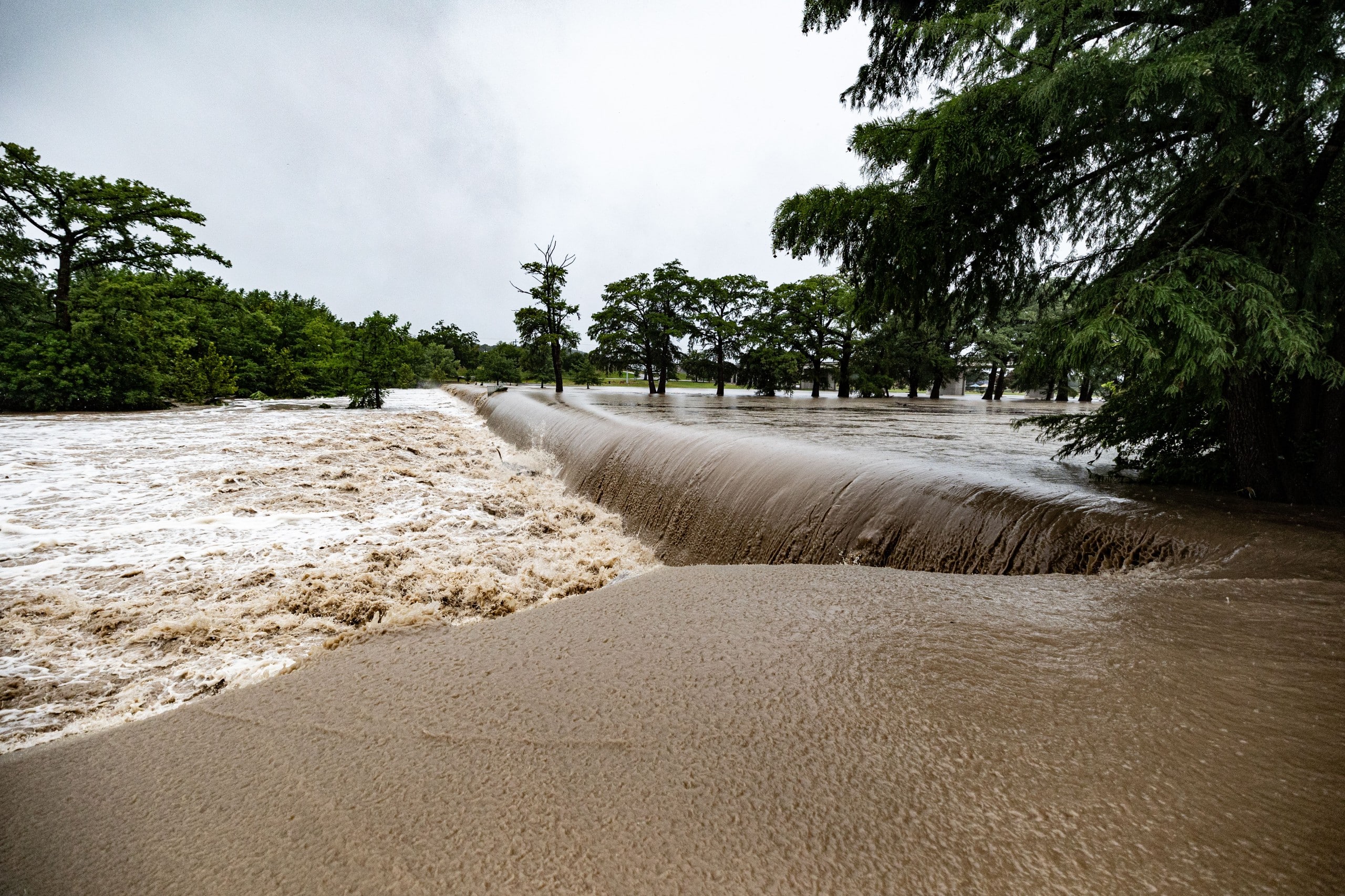
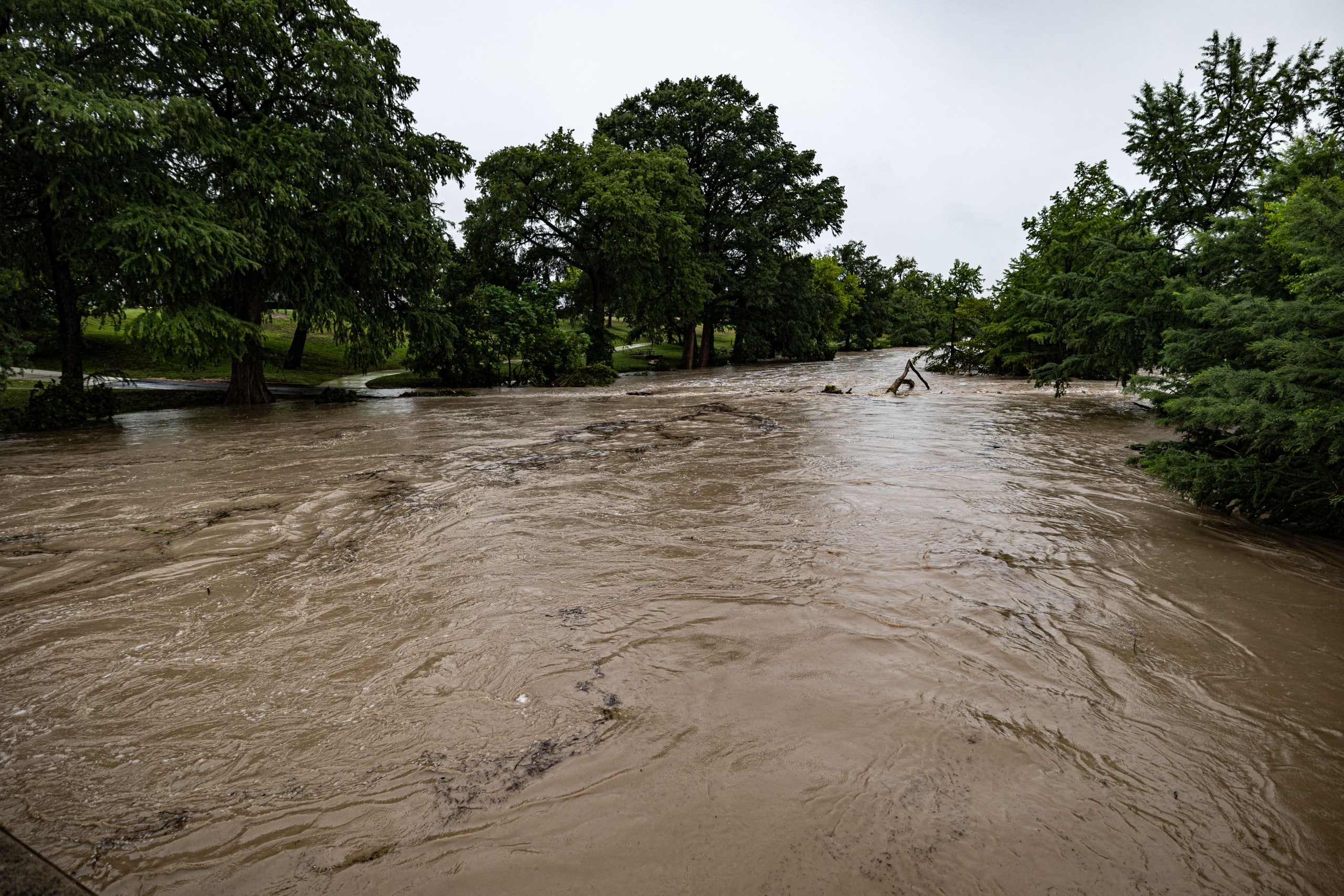
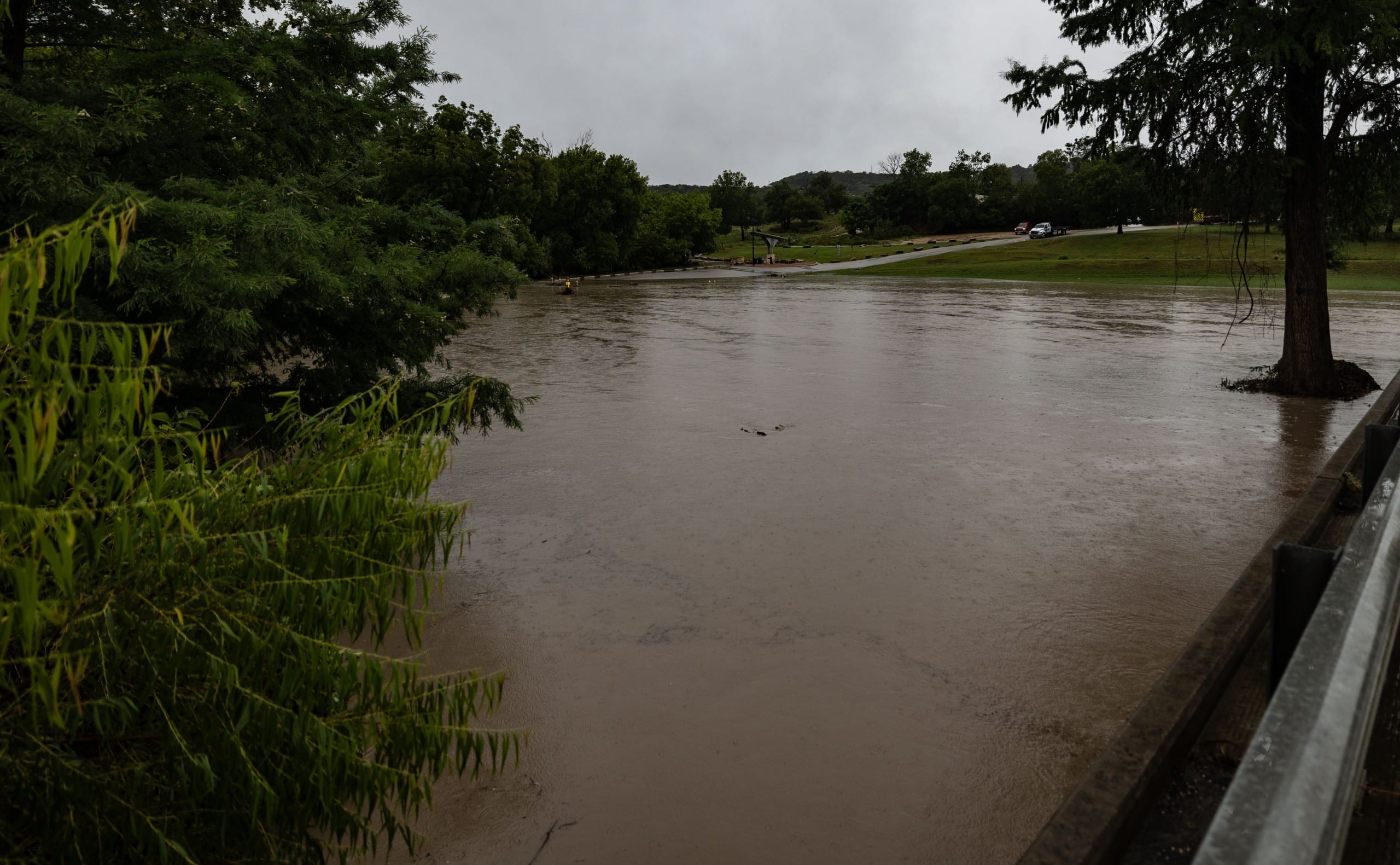
Kerr County’s worst natural disaster on record struck in the predawn hours of July 4, 2025, when the Guadalupe River rose with almost no warning along its upper stretches near Hunt.
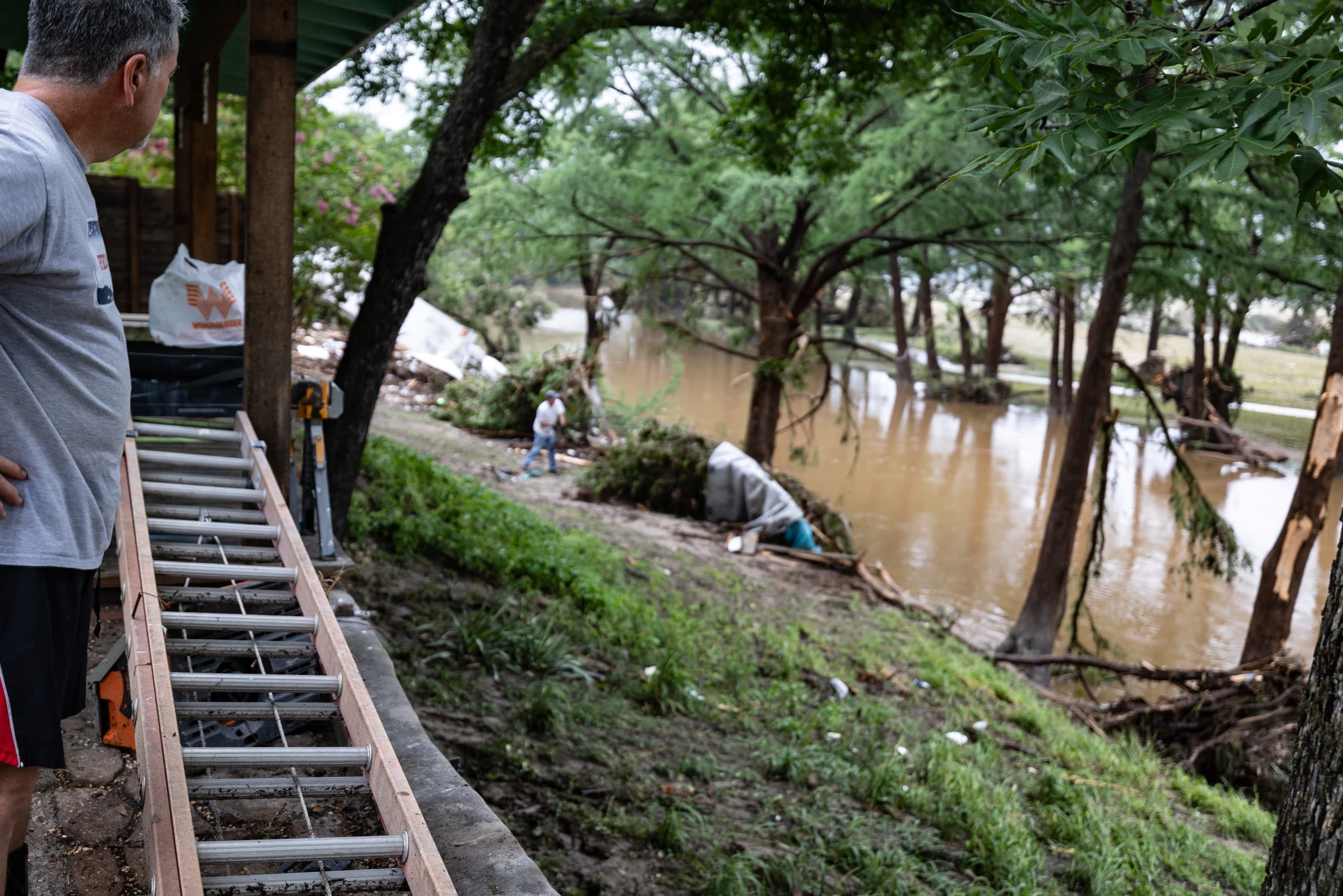
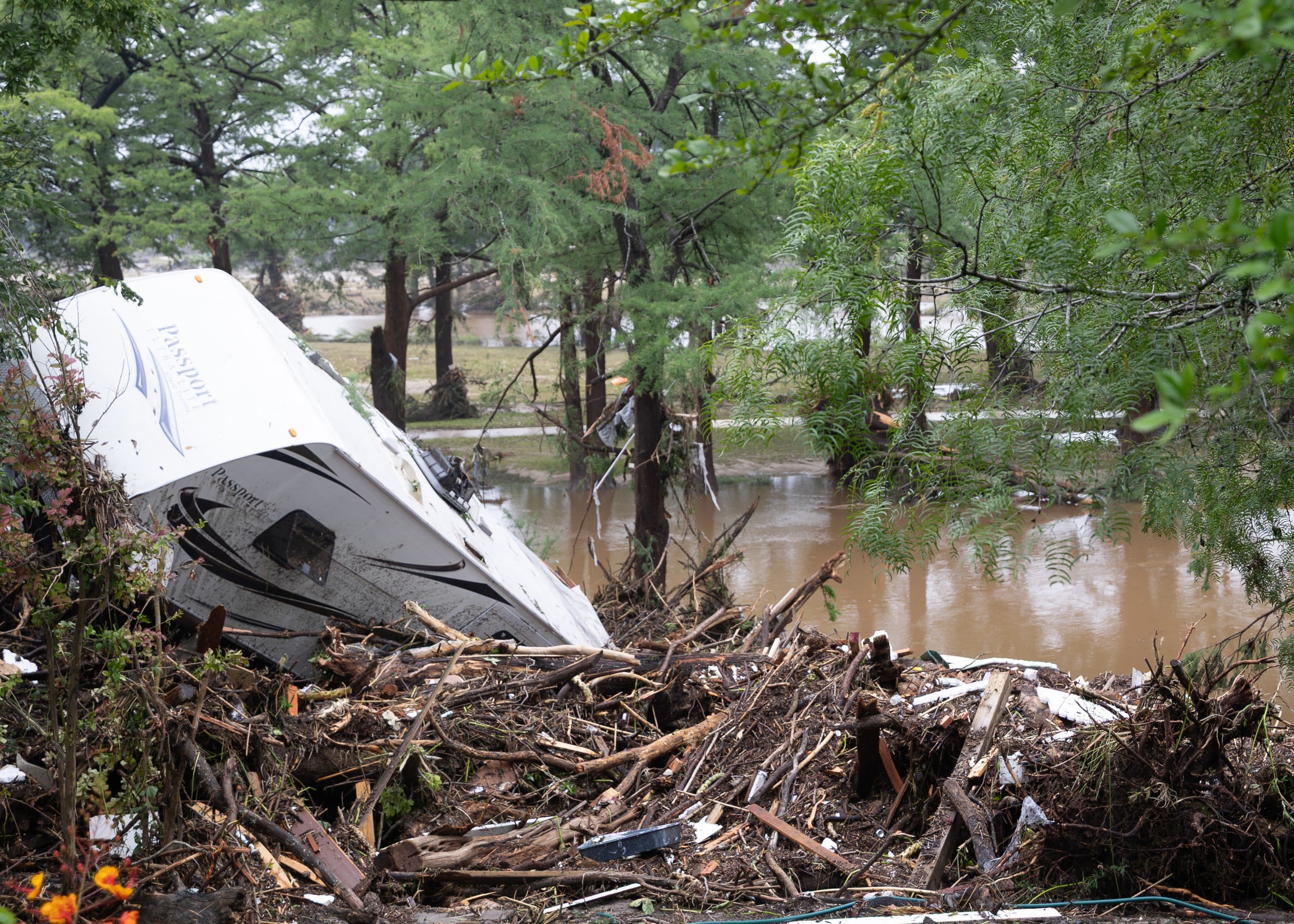
As of the most recent count, 119 people died in Kerr County in the flood — up from the 116 direct and one indirect death NOAA’s Storm Events Database recorded in its initial federal tally. Among the dead were at least 27 people — some accounts put the figure at 28 — at Camp Mystic, a summer camp for girls near Hunt, including the camp’s owner, two counselors, and children as young as 8. Roughly 40 more died at two riverside RV parks and campgrounds in the Ingram area, HTR TX and Blue Oak Campground, and 10 more in the Center Point area, most of them in flooded homes. Heart O’ the Hills Camp and the Hunt Post Office and Store area were destroyed or demolished, along with Crider’s Rodeo and Dance Hall, a longtime local landmark.
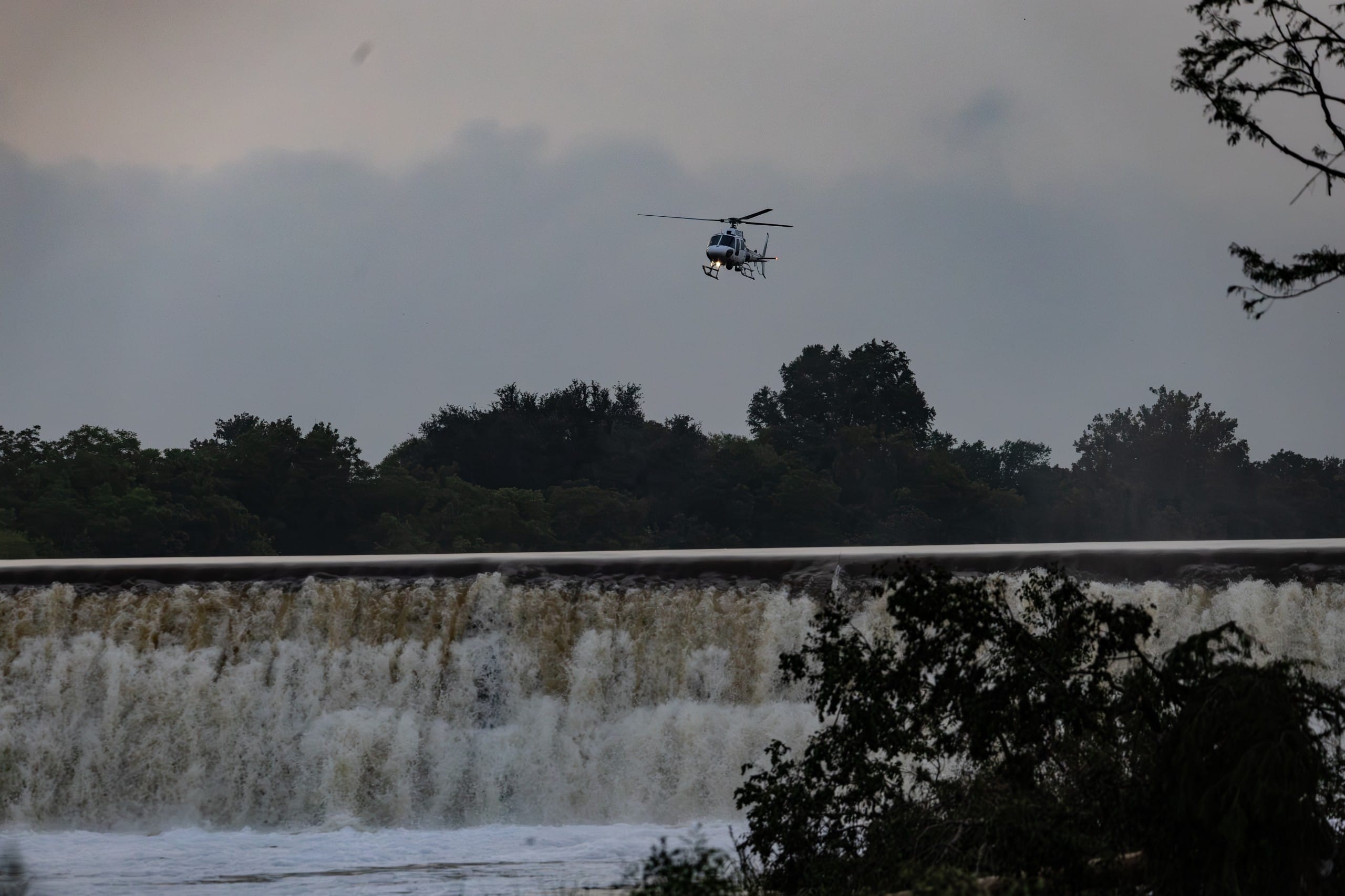
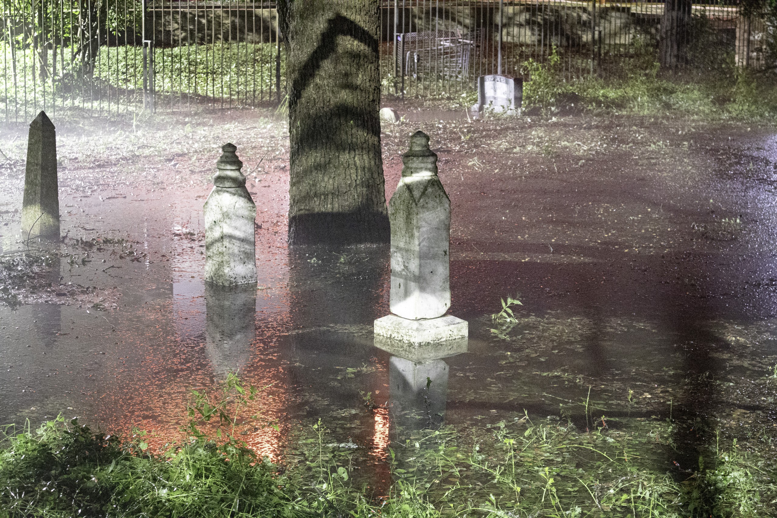
The flood’s speed was extraordinary even by Hill Country standards. An estimated 10 inches of rain fell over the Guadalupe headwaters in roughly four hours overnight. At Hunt, the river gauge rose 27 feet in just over two hours, cresting at 37.52 feet — a new all-time record there, breaking a mark that had stood since 1932 — before the gauge itself was knocked offline for about a day and a half, almost certainly by the flood itself. At Kerrville, the river rose 32 feet in 90 minutes to a crest of 34.29 feet, the third-highest ever recorded there. At Center Point, the river reached 39.61 feet — the highest confirmed river reading anywhere in this county’s record — before that gauge, too, went dark for more than three days.
Damage to public infrastructure alone was estimated at $200 million, with roughly 2,000 structures damaged or destroyed countywide.
Read additional stories about the 2025 flood:
The Monster in the Canyon: https://kerrcountylead.com/the-monster-in-the-canyon-what-the-storm-actually-was-and-what-was-never-asked/
Obituaries of the 119 victims of the July 4 flood: https://kerrcountylead.com/july-4-2025-flood-obituaries/
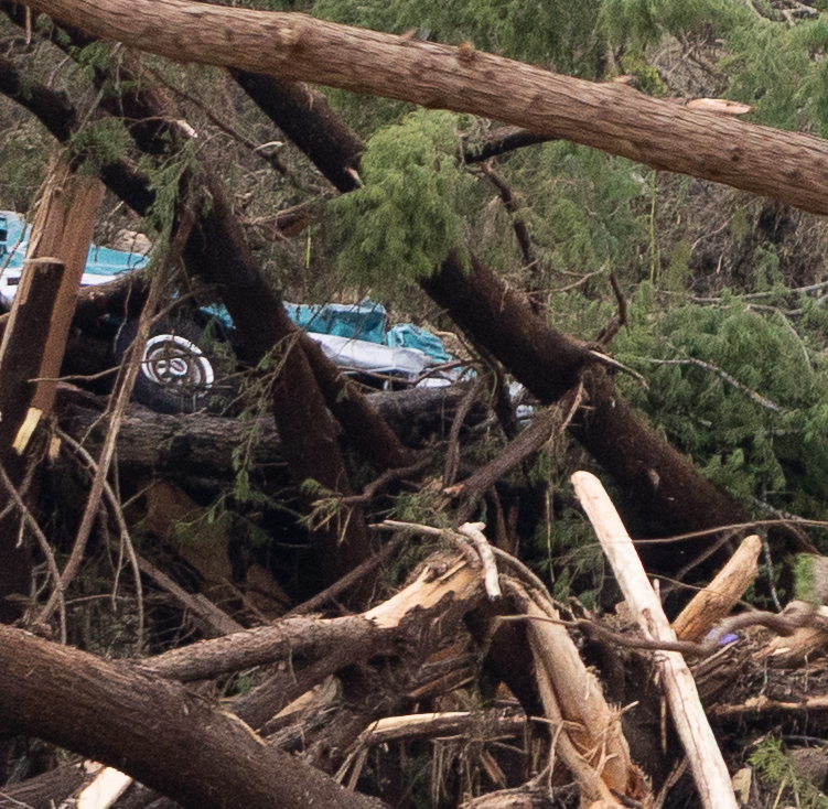
Photos from July 4, 2025

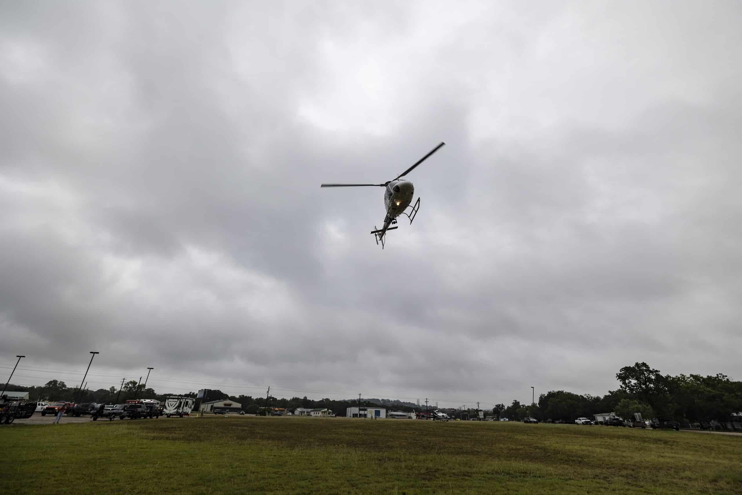




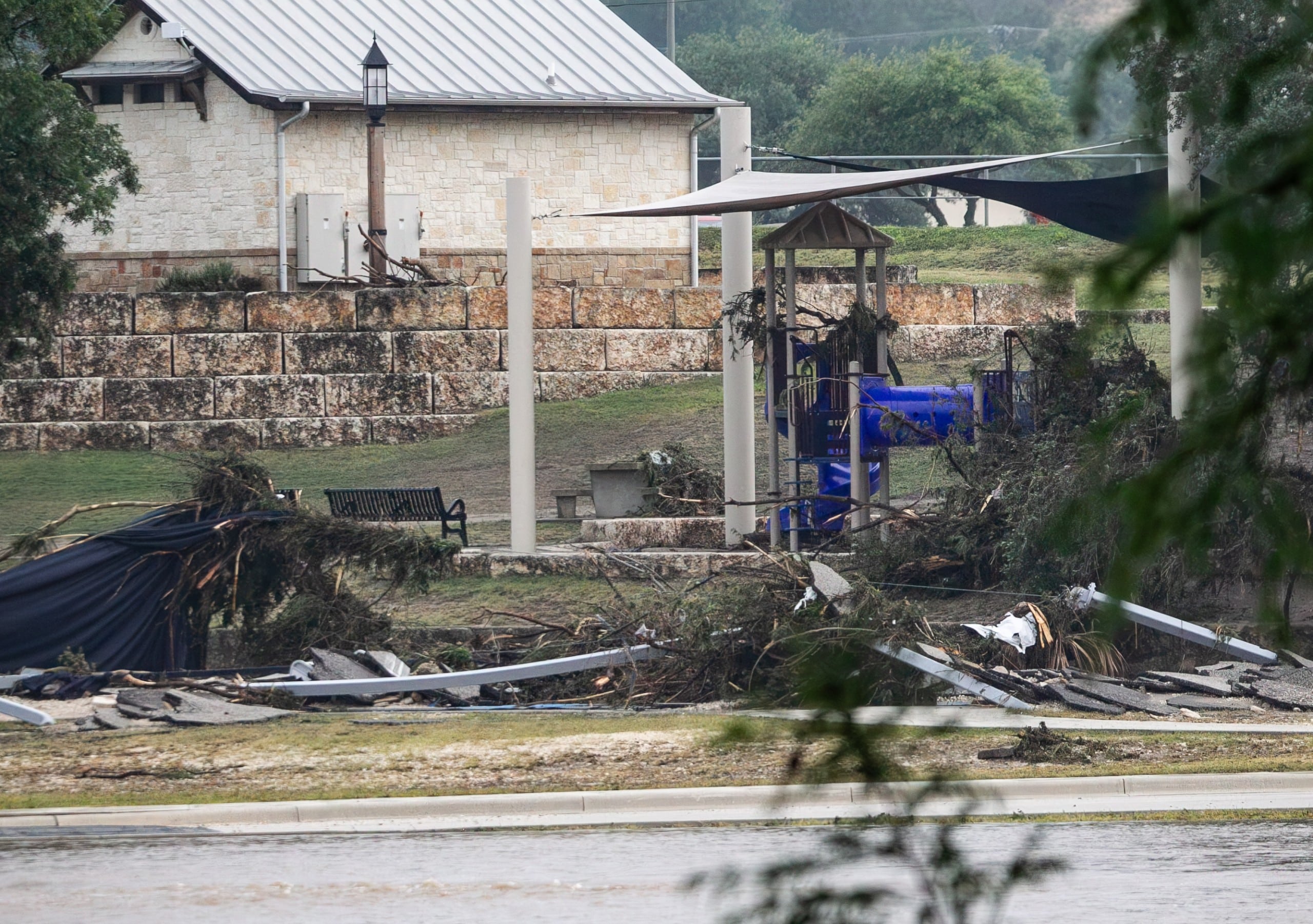

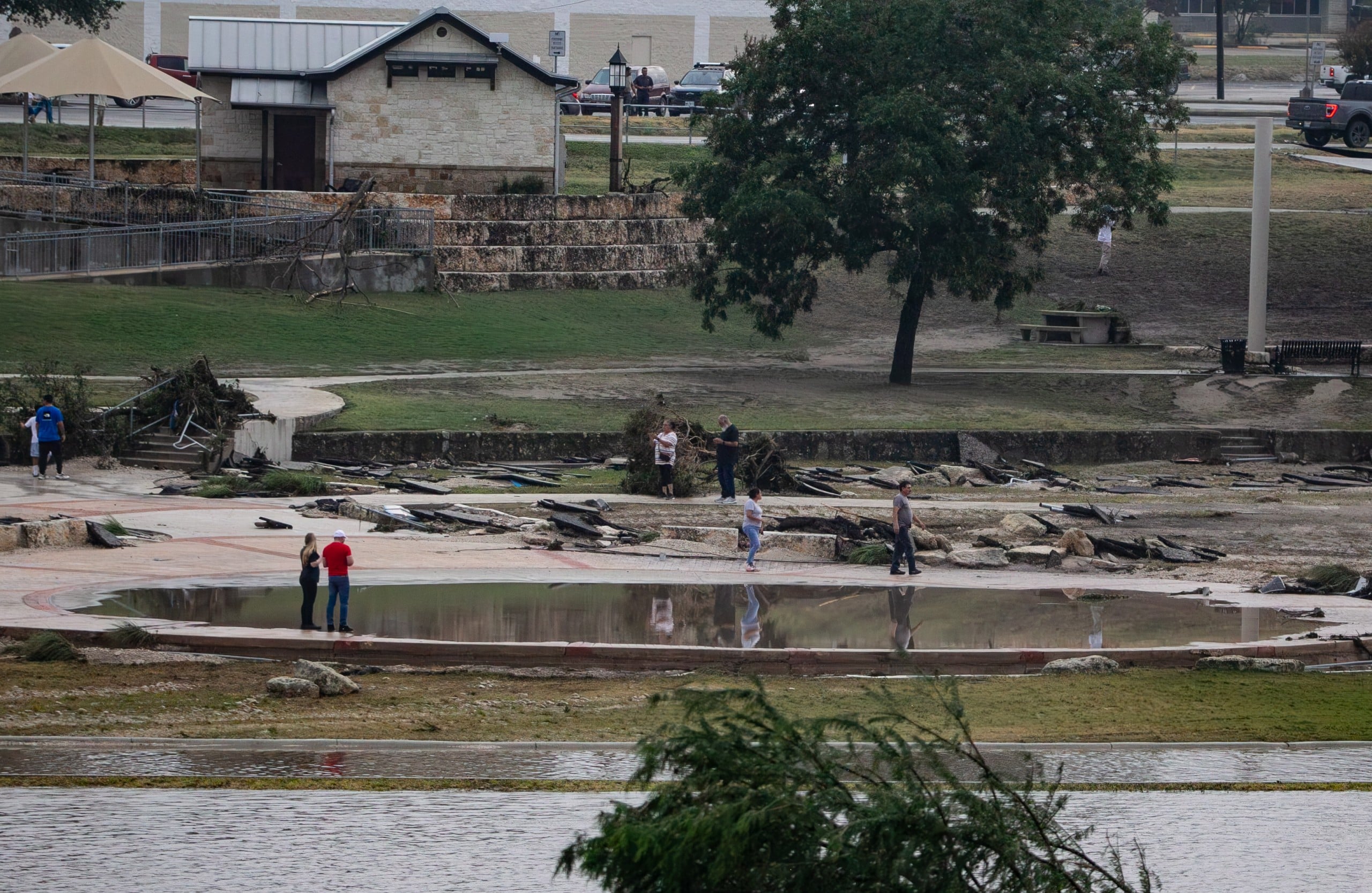


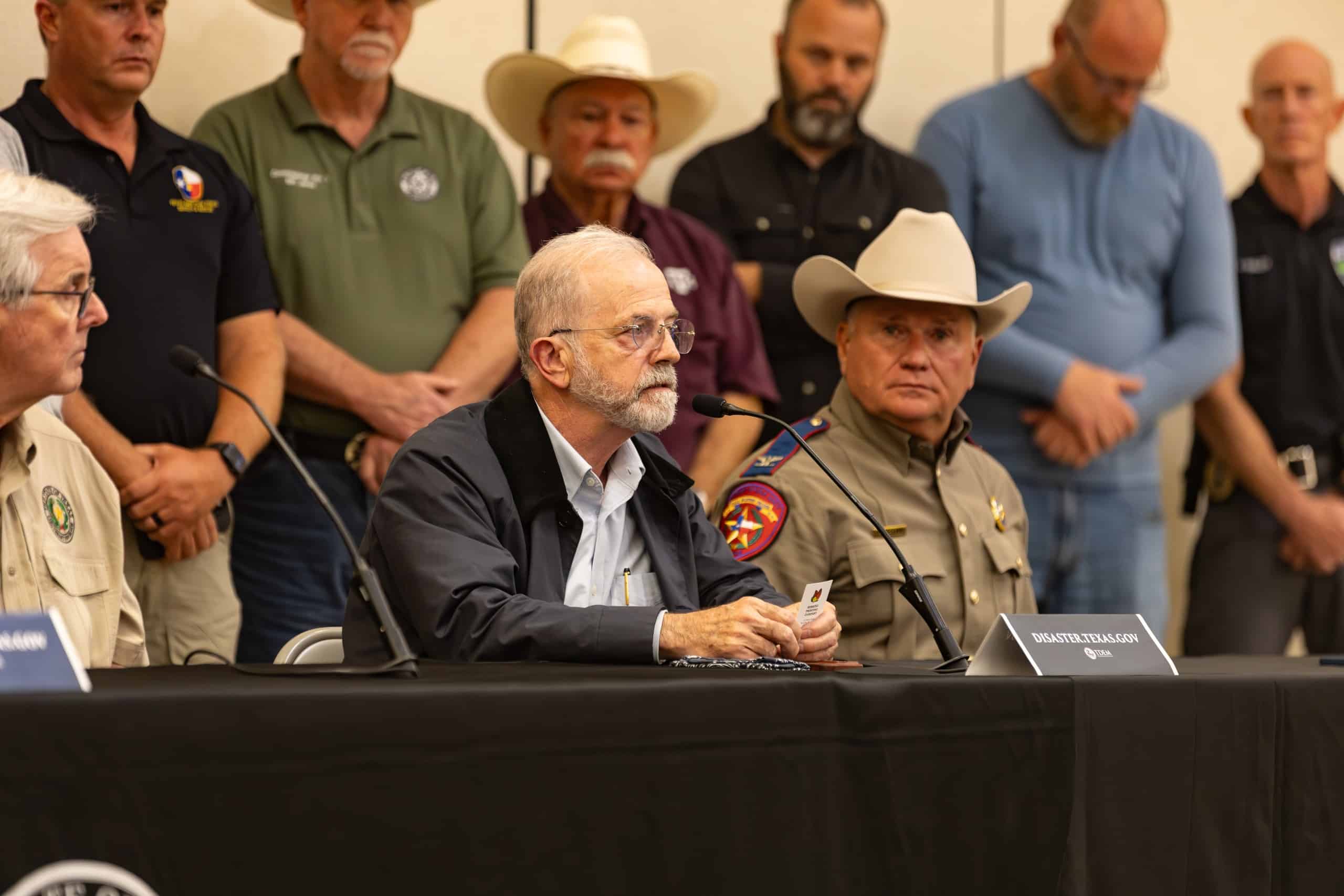


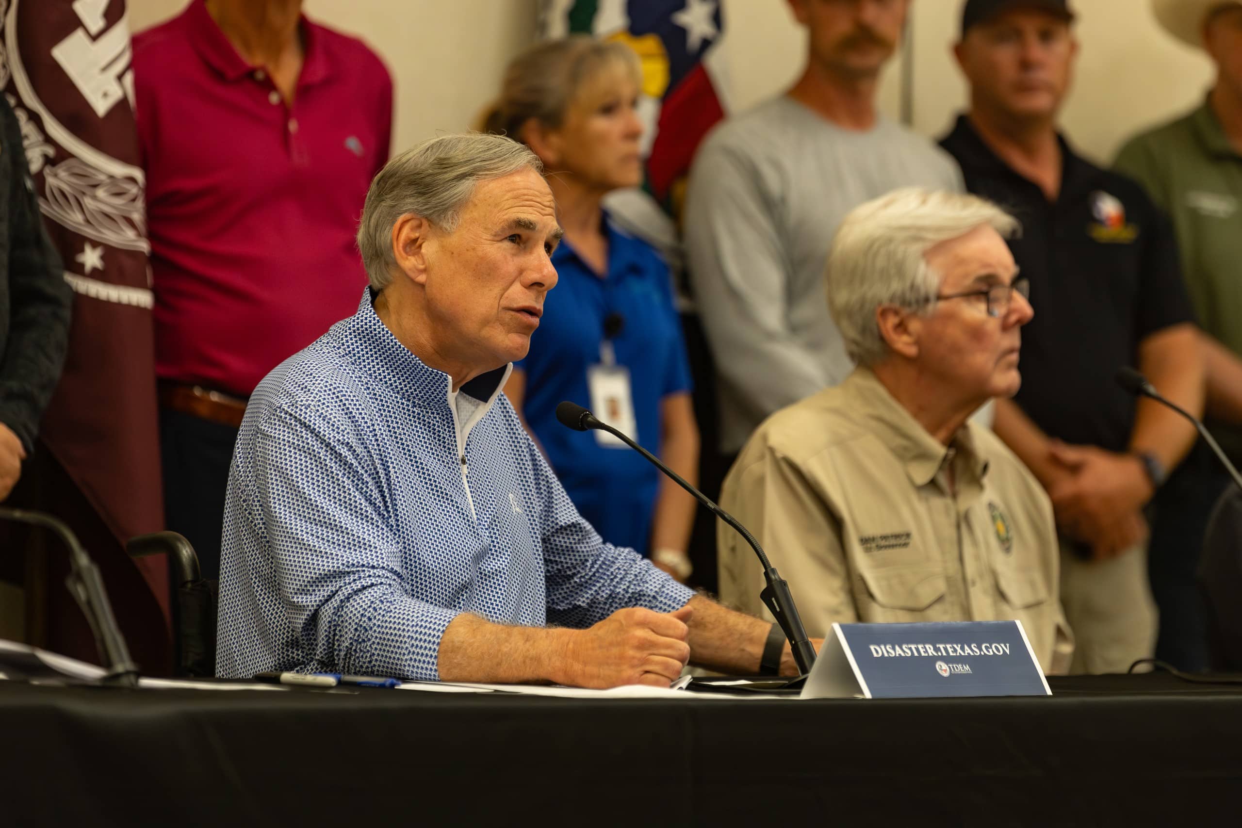

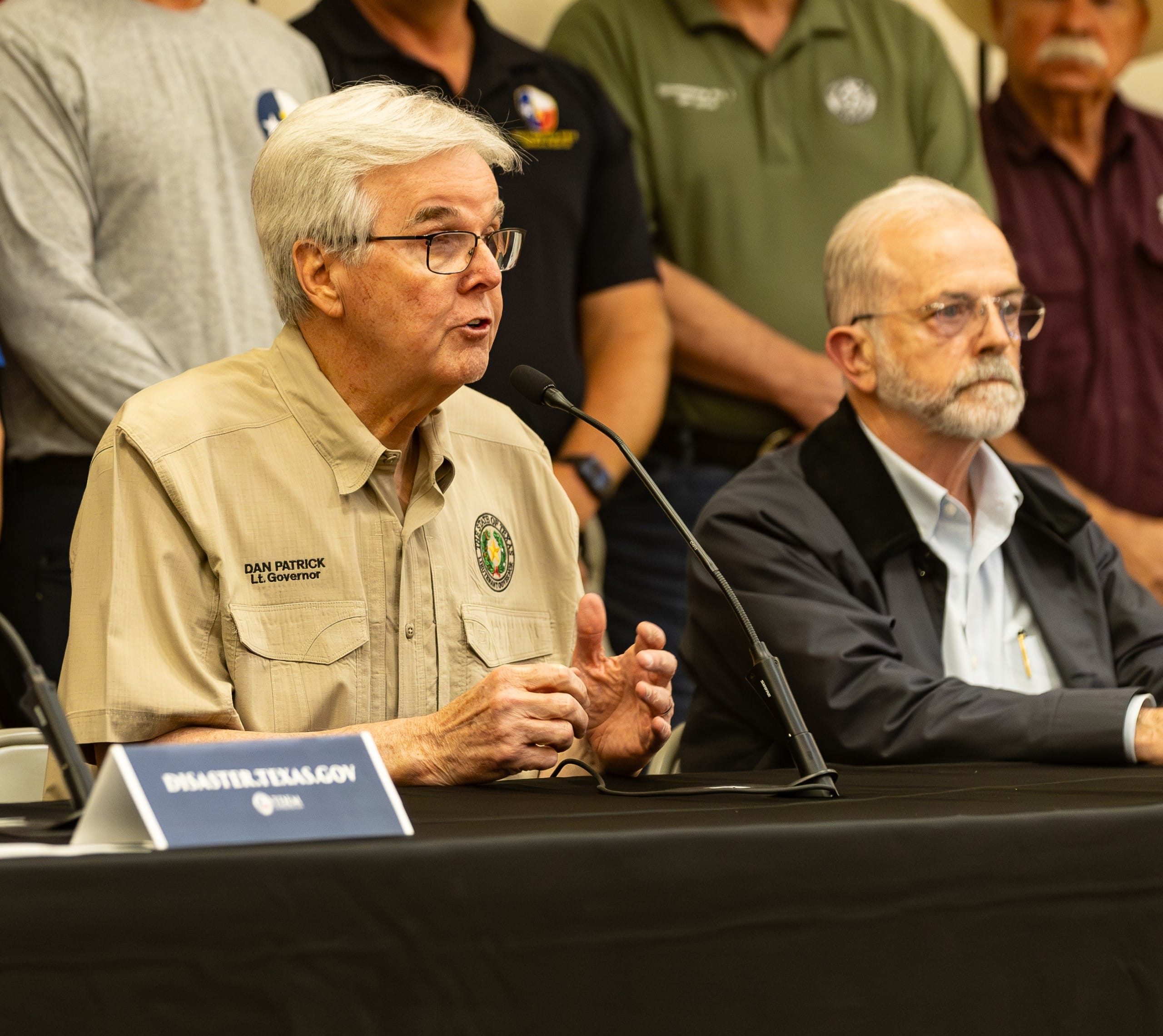

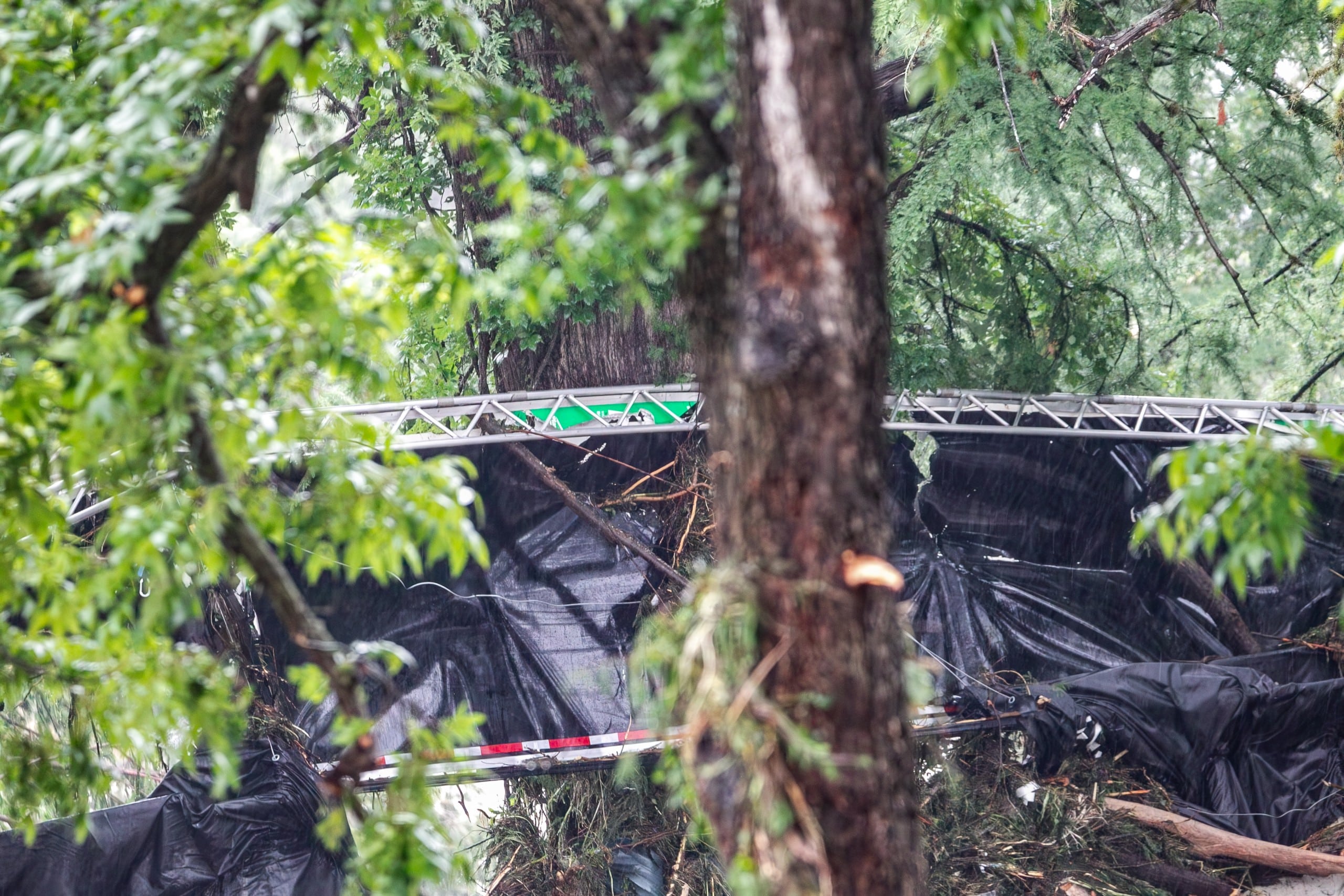
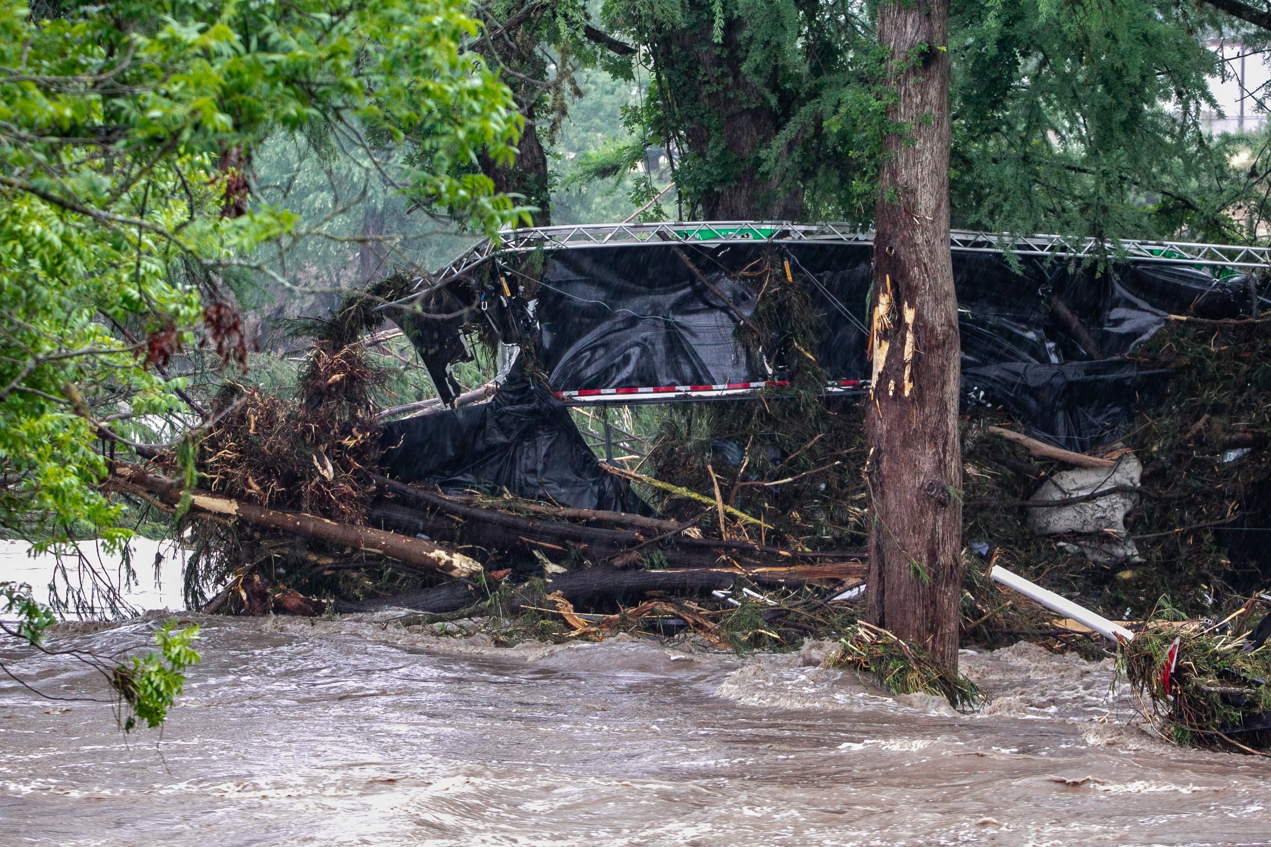
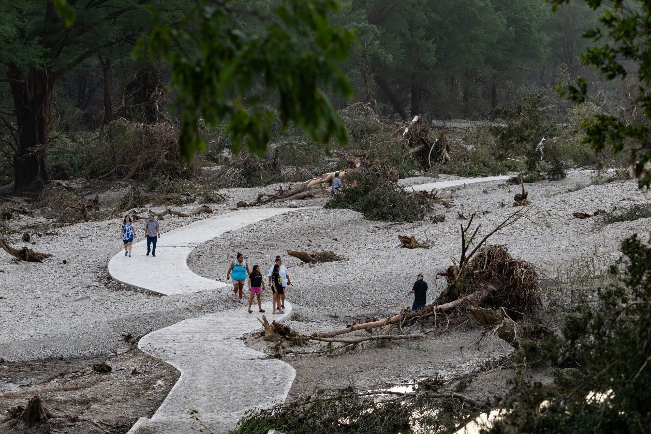
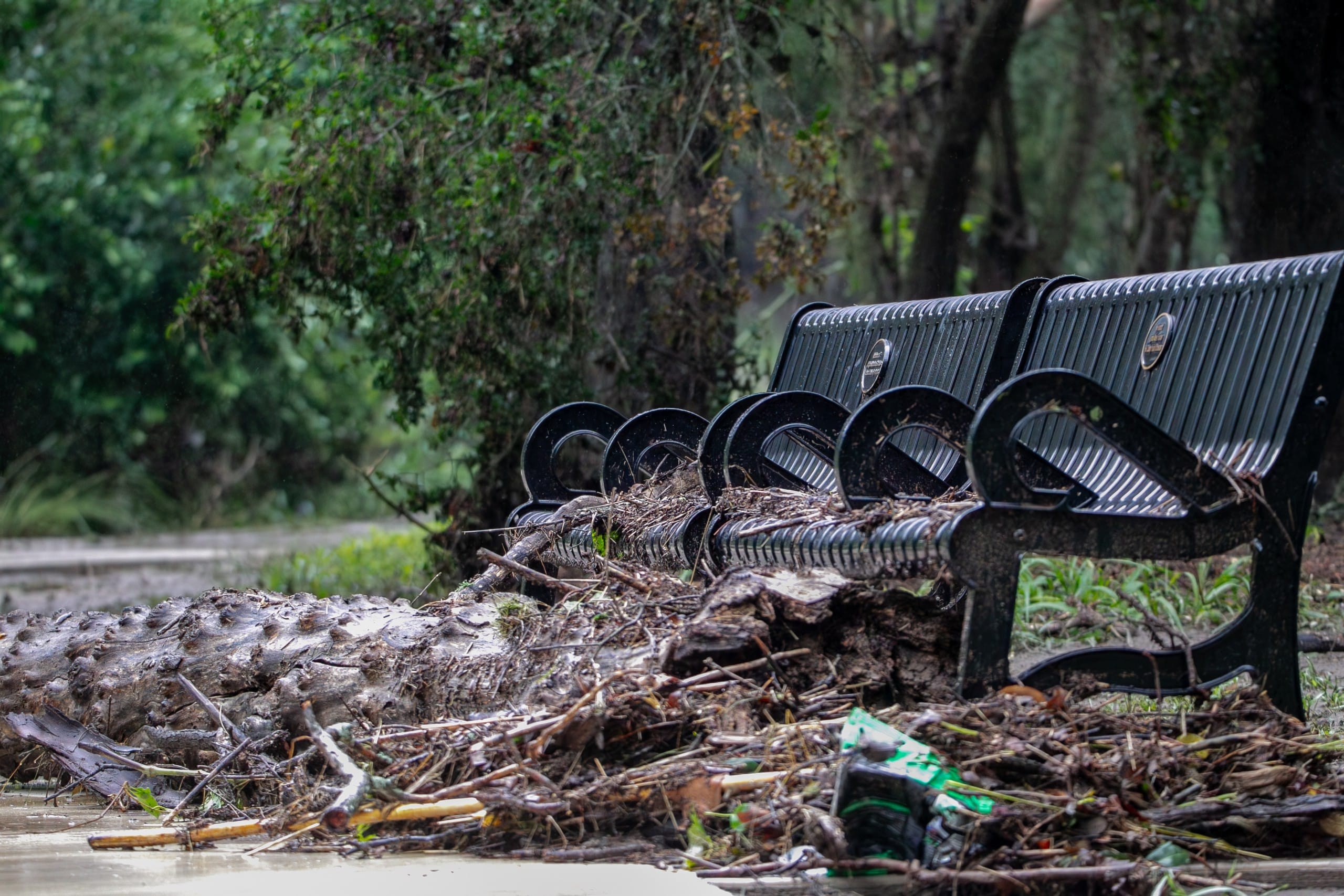
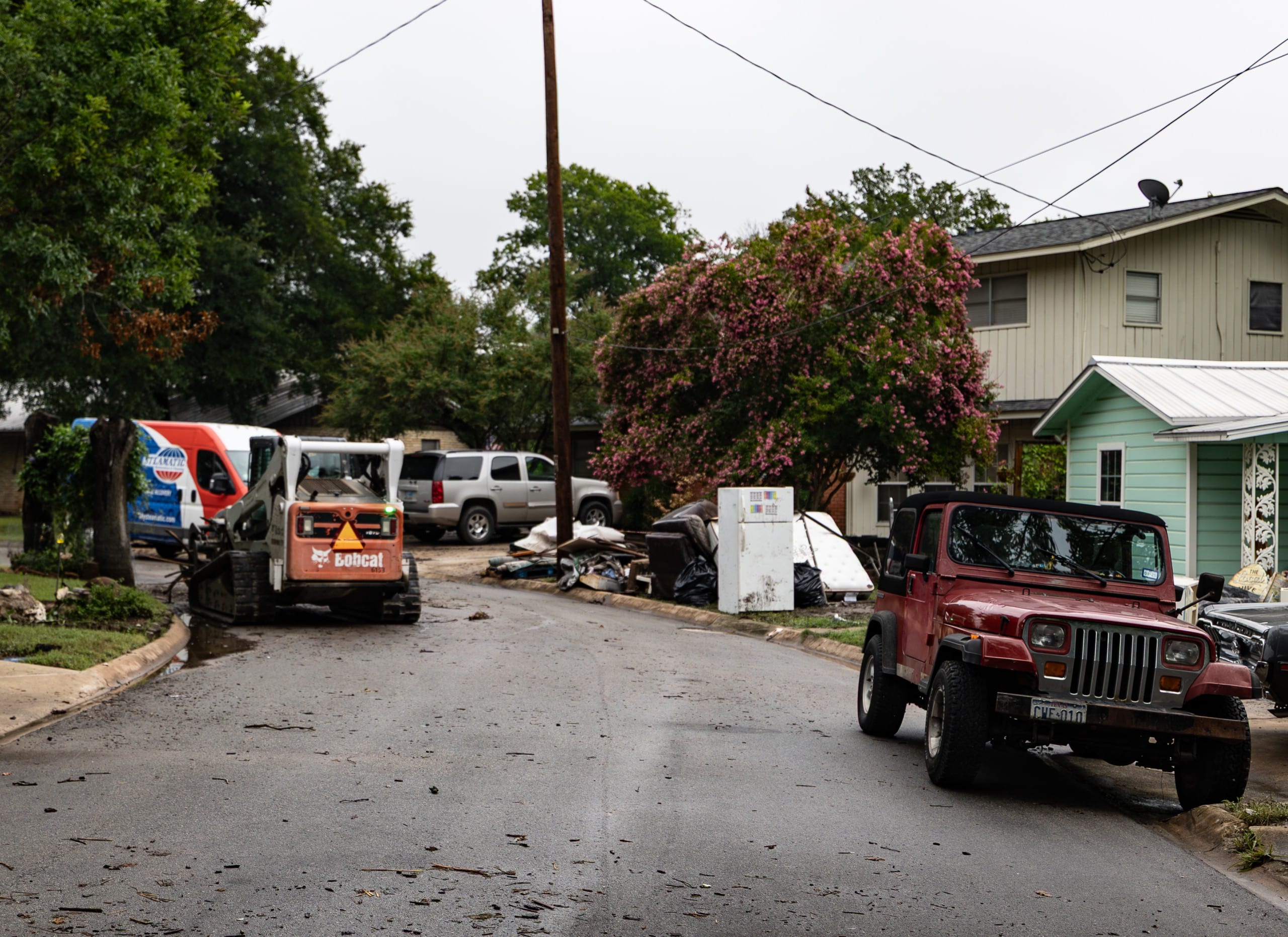

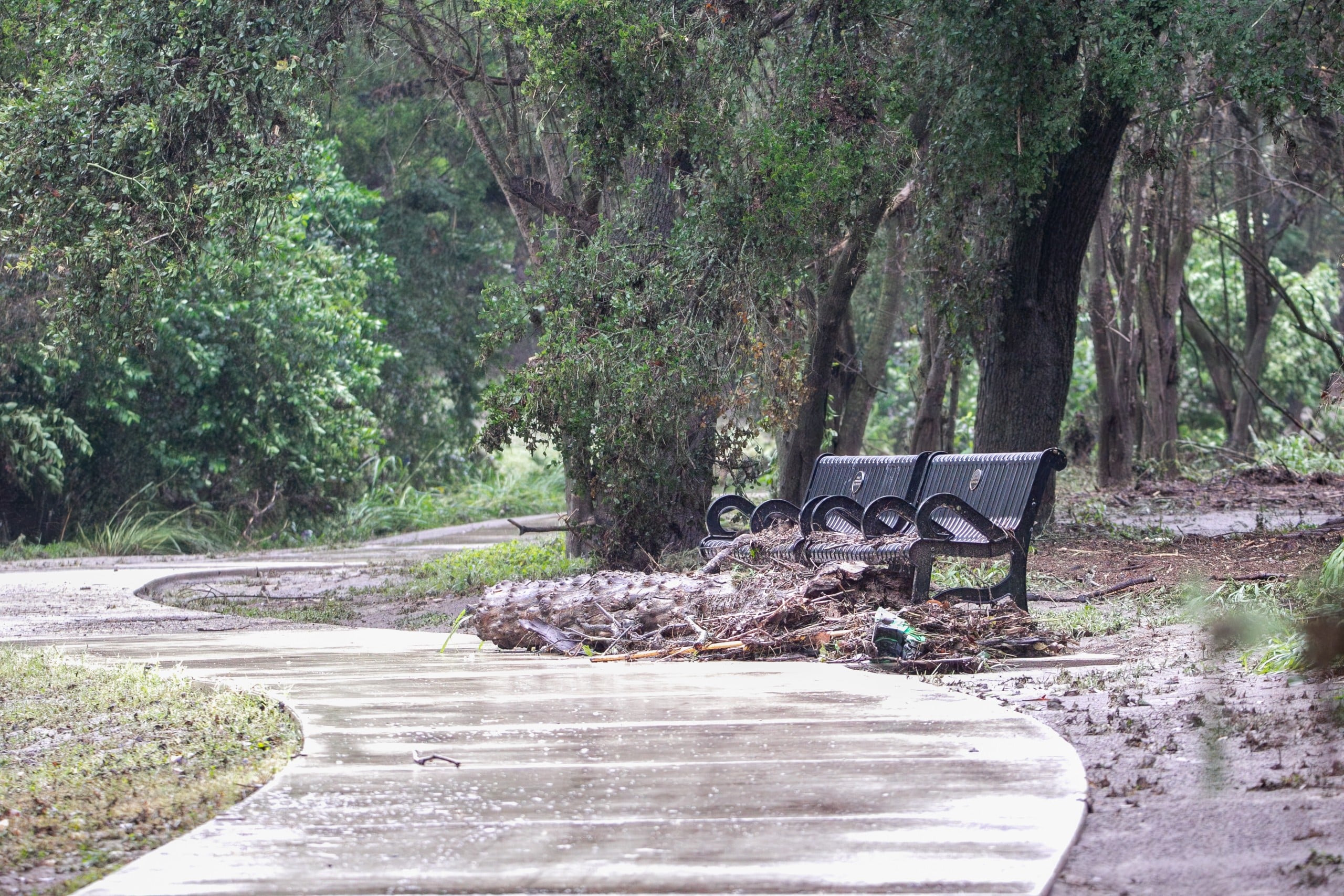







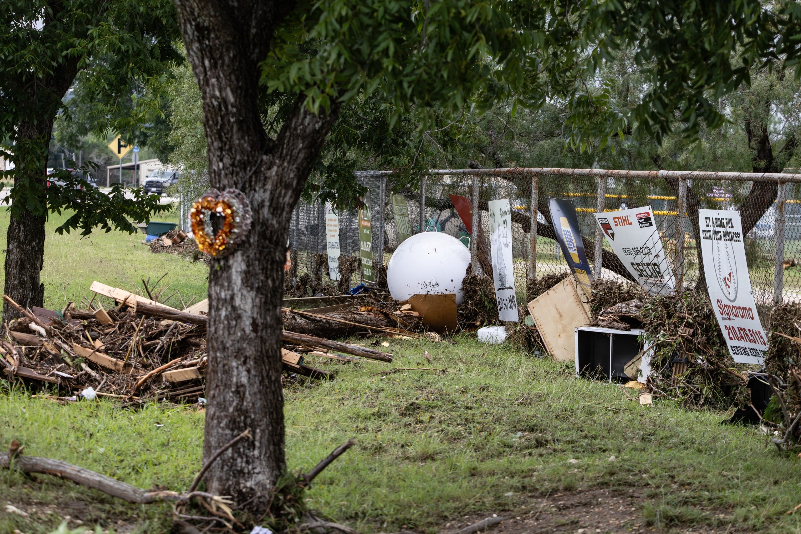
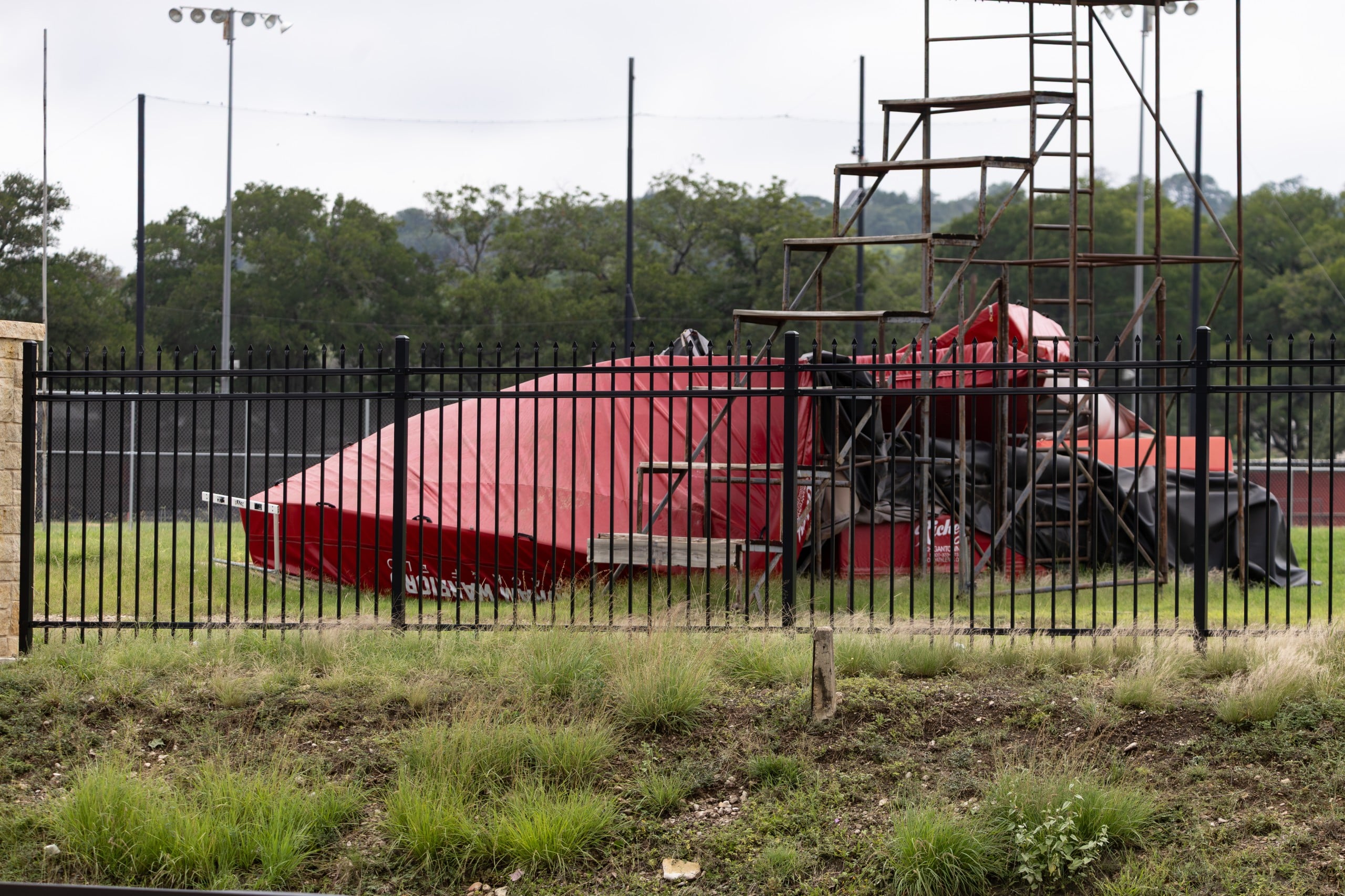
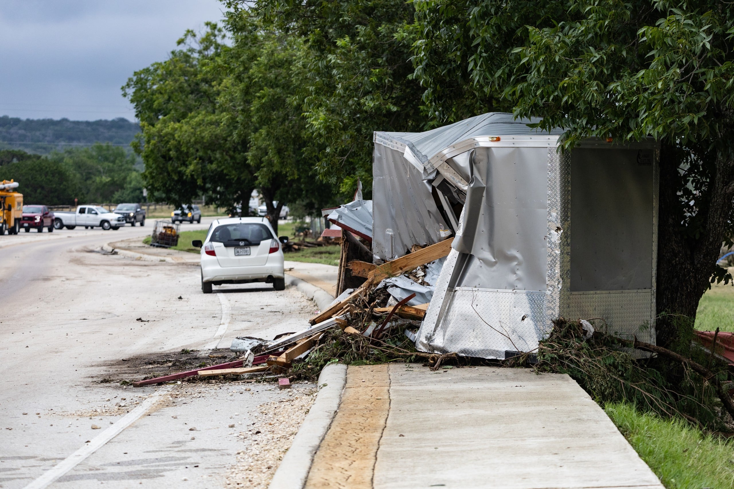
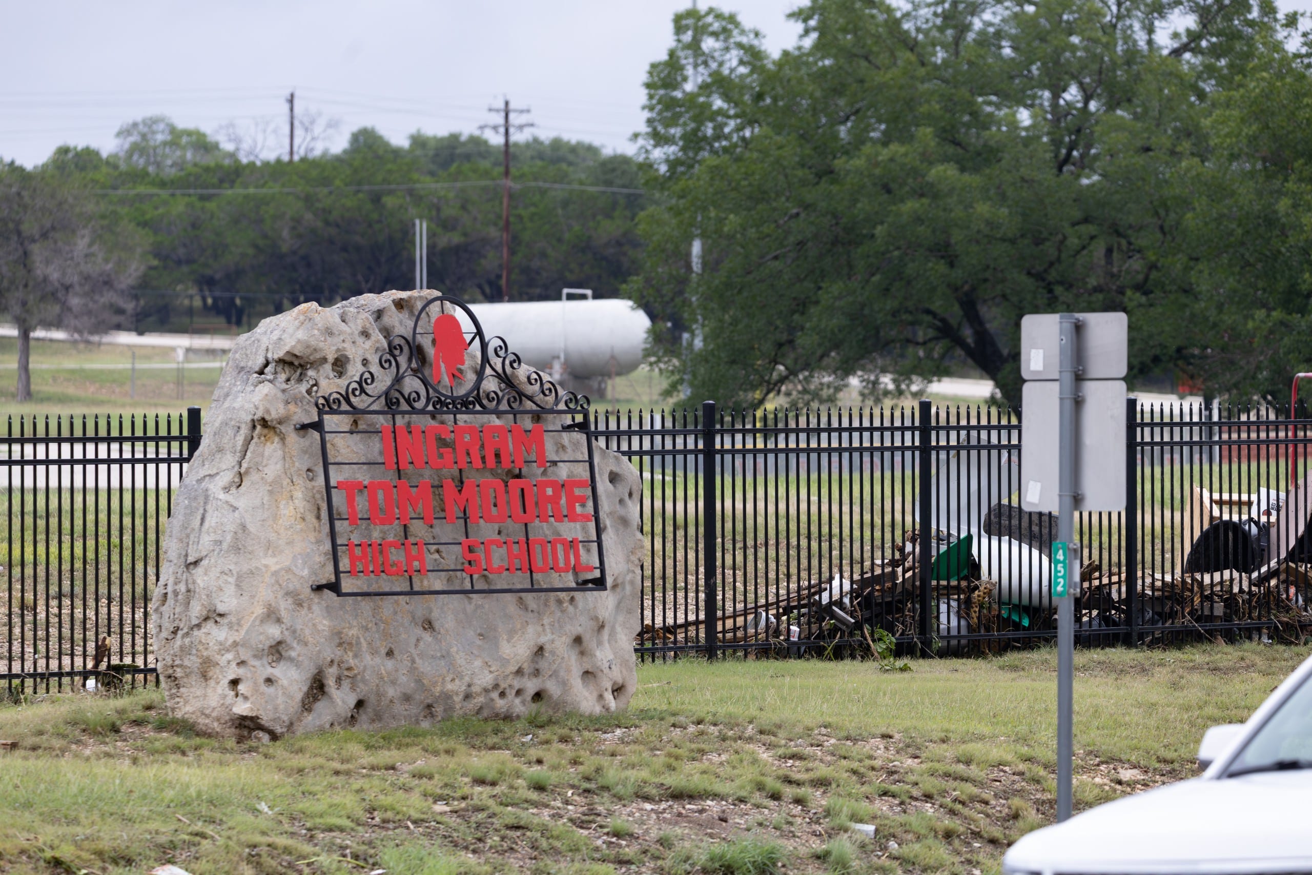





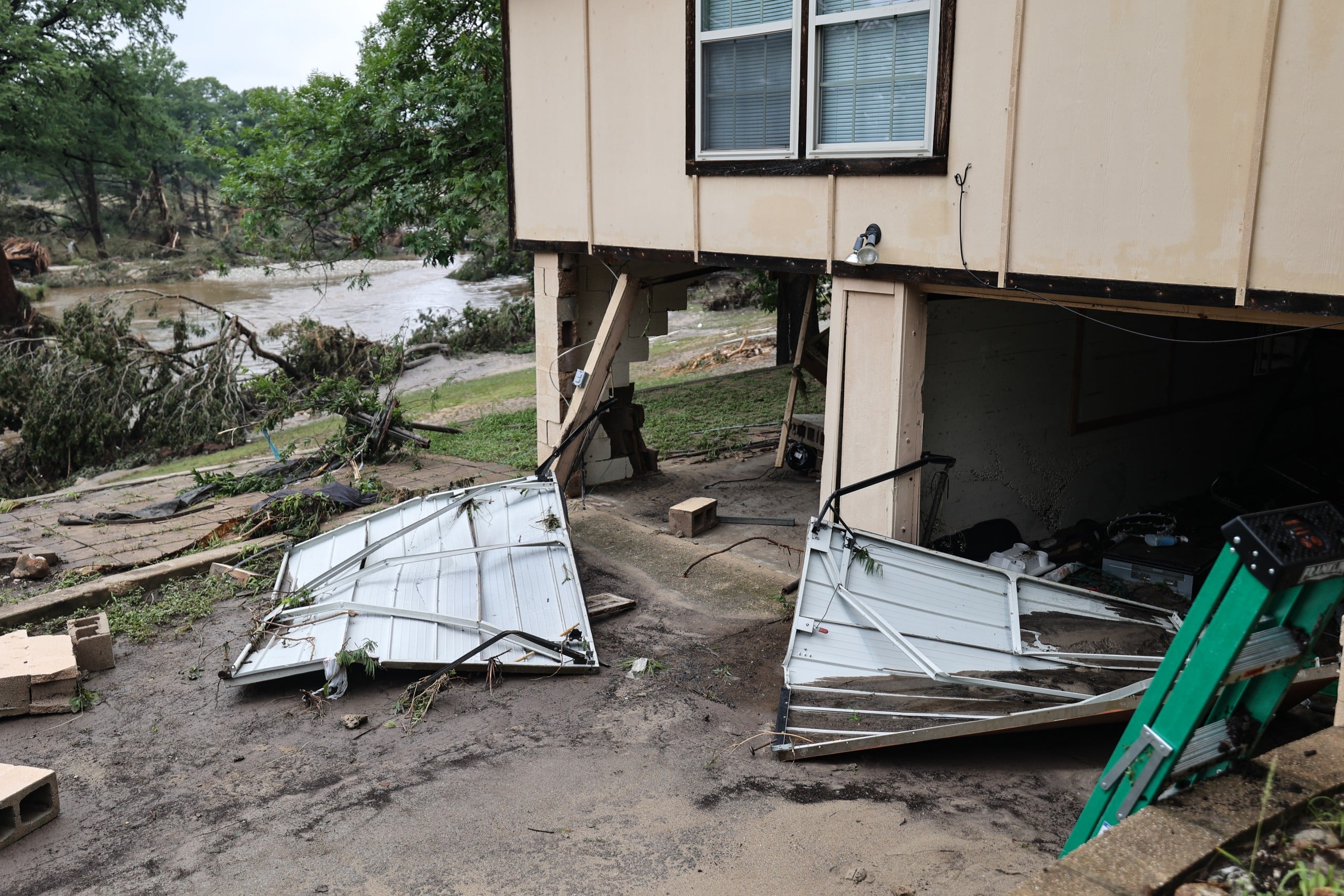
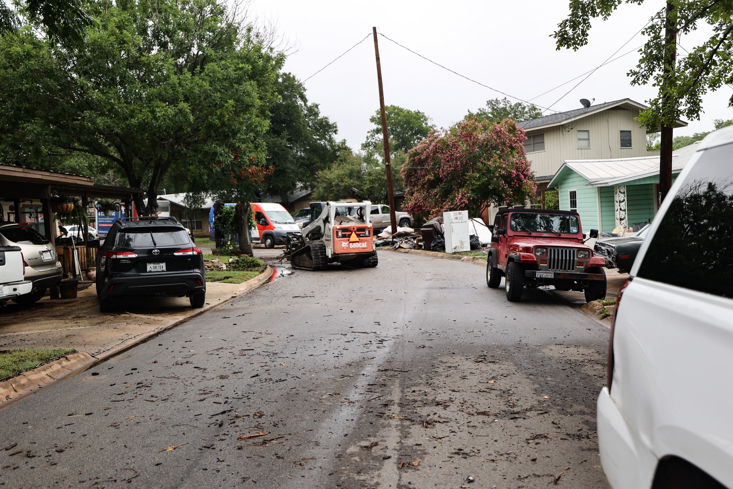
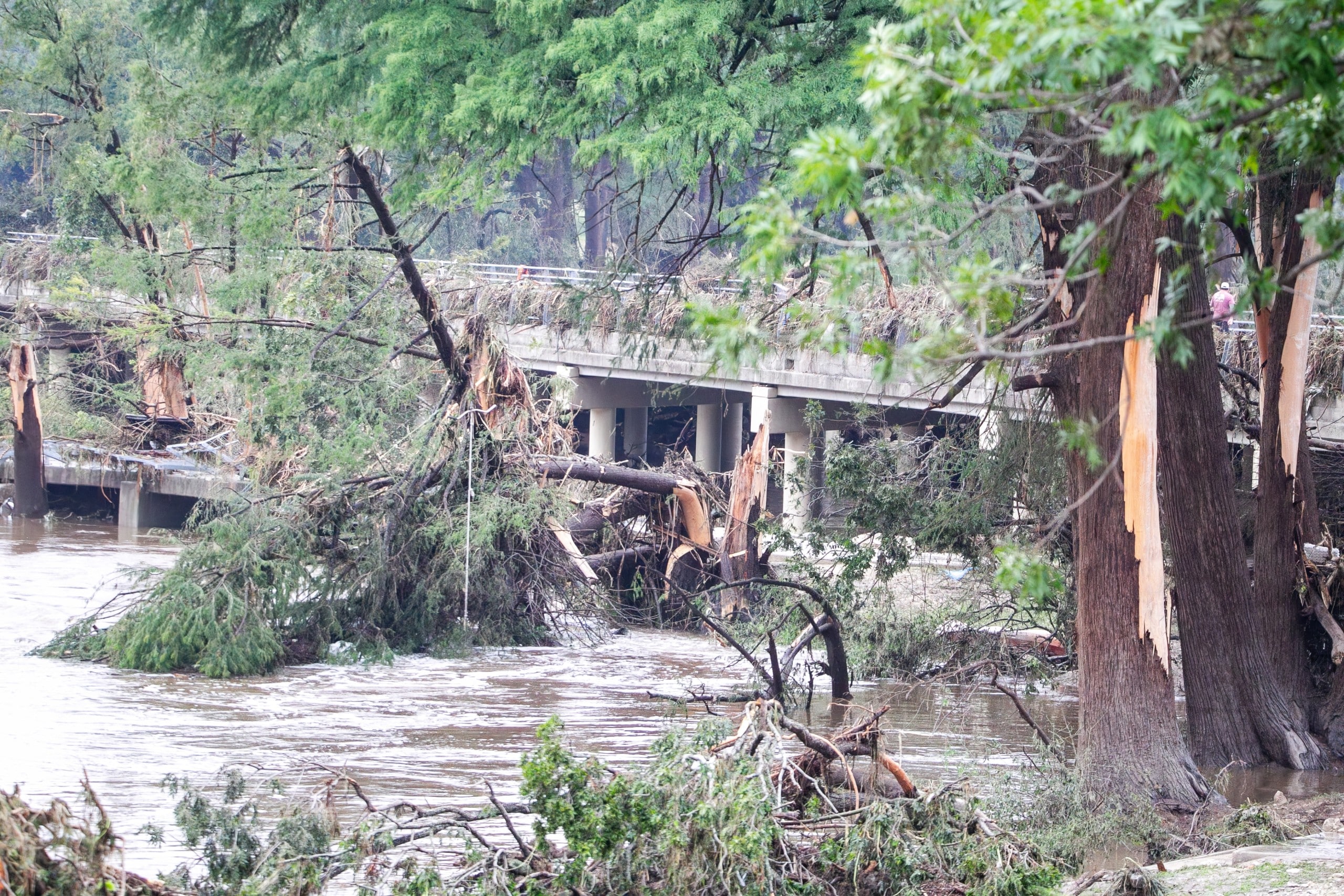

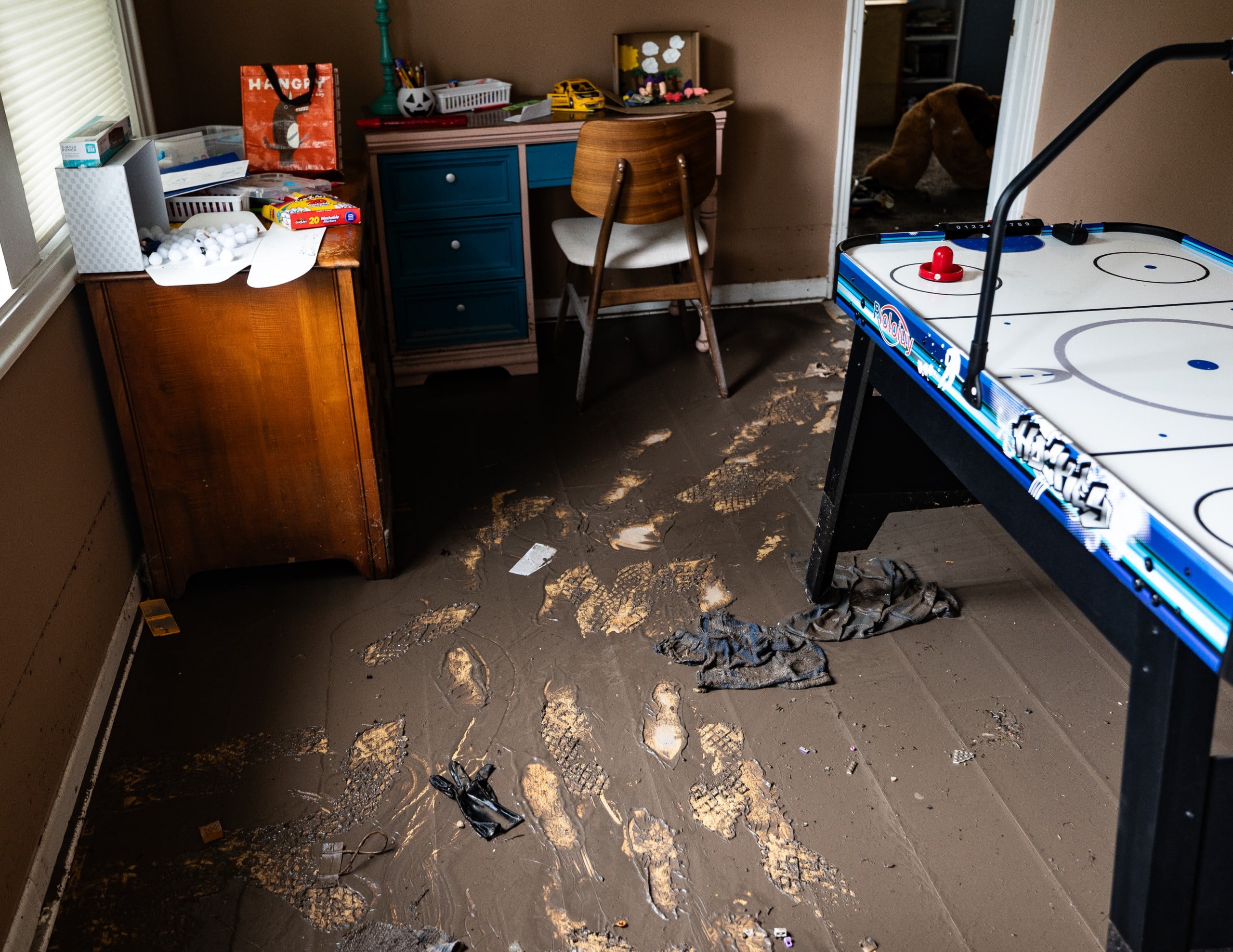


March 23 — Severe hail storm batters north Kerrville
Months before the flood, a severe hail storm tore through north Kerrville on a Sunday night in March, with hail up to 2.75 inches in diameter — tennis-ball to baseball size.
“It could have been a lot worse,” City Manager Dalton Rice said five days later, as damage assessments continued. The storm destroyed parking lots and damaged city police and Parks and Recreation vehicles, with damage to local ball fields still being assessed. Rice said damage estimates were expected to run into the millions once insurance adjusters finished their work.
Cecil Atkission Motors took some of the worst damage of any local business. “We were the ball to the storm’s Louisville slugger on Sunday night,” dealership manager Trey Atkission said, adding that the dealership was offering discounts on damaged vehicles to customers willing to forgo repairs. Fire Chief Eric Maloney reported no traffic collisions despite the storm’s intensity, though a stalled semi-truck on Interstate 10 caused temporary delays. The storm’s path was selective, leaving some Kerrville neighborhoods untouched while creating what Rice called “mayhem” in others.
2024: A warning sign in Ingram
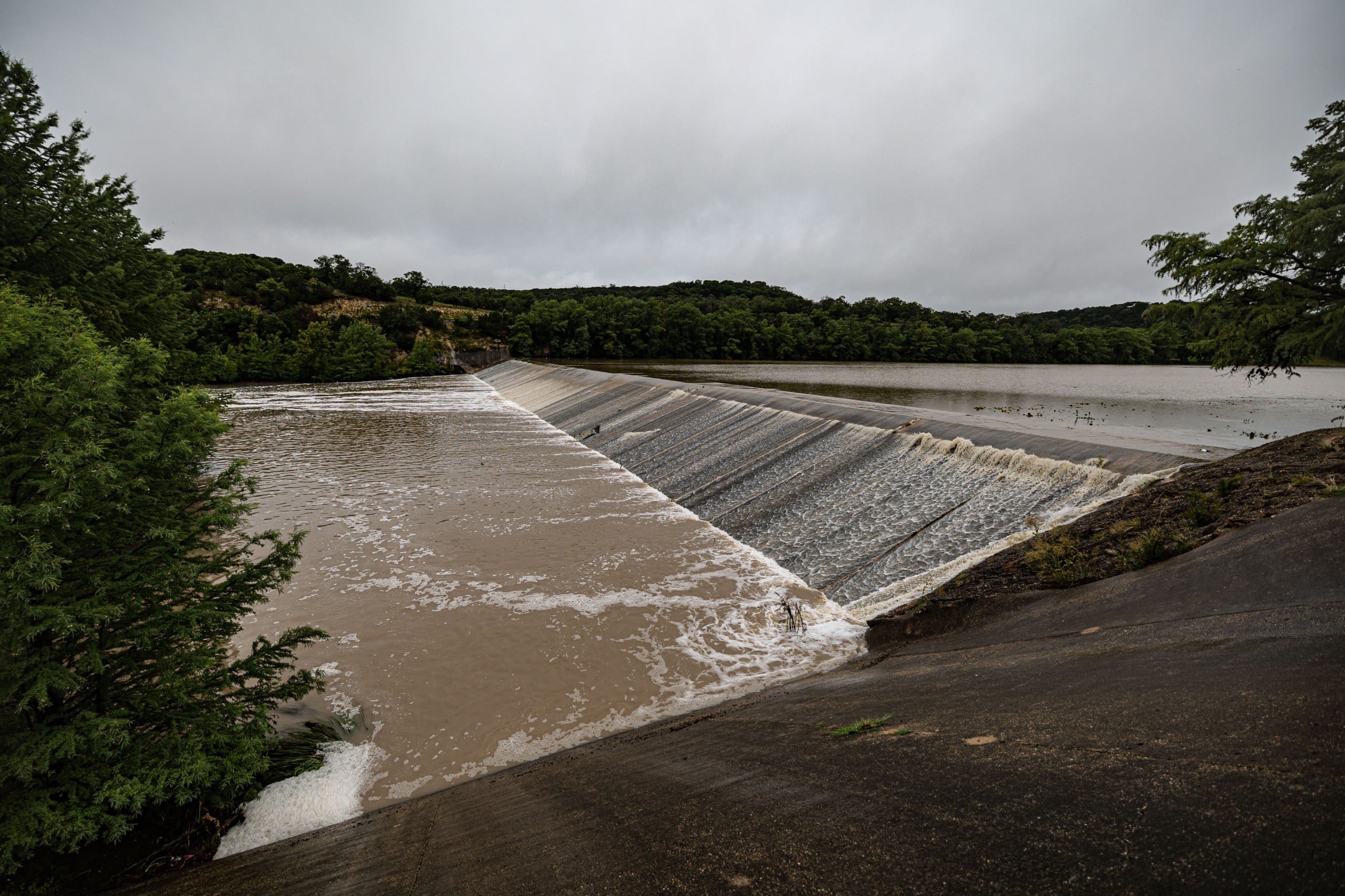
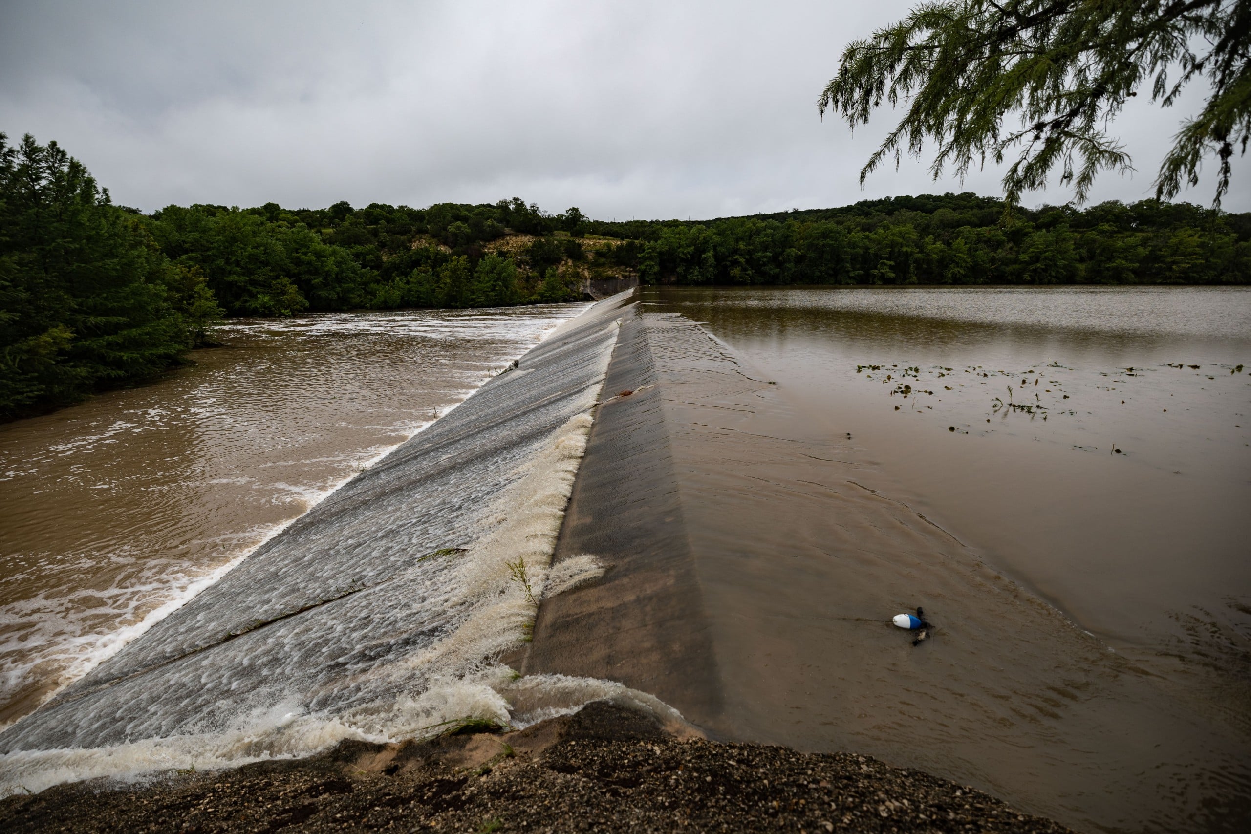
July 23 — Ingram cloudburst
A highly localized storm cell dumped 8.61 inches of rain on Ingram in a single day — more than six times what fell in Kerrville, a few miles away, the same day. The runoff overwhelmed Johnson Creek downstream, flooding Louise Hays Park in Kerrville. Center Point, further downstream, recorded the highest river crest of any gauge on the Guadalupe that day.
It was, in hindsight, the first of three consecutive Julys in which Johnson Creek would crest higher than the year before — a pattern that would repeat, far more severely, in 2025 and 2026.

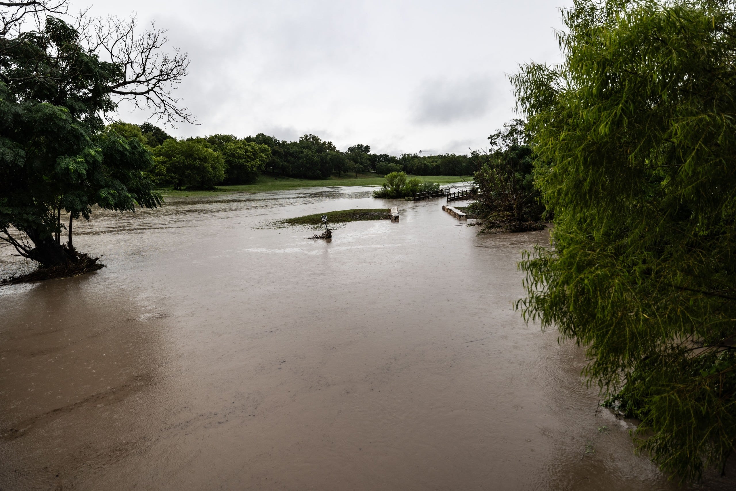
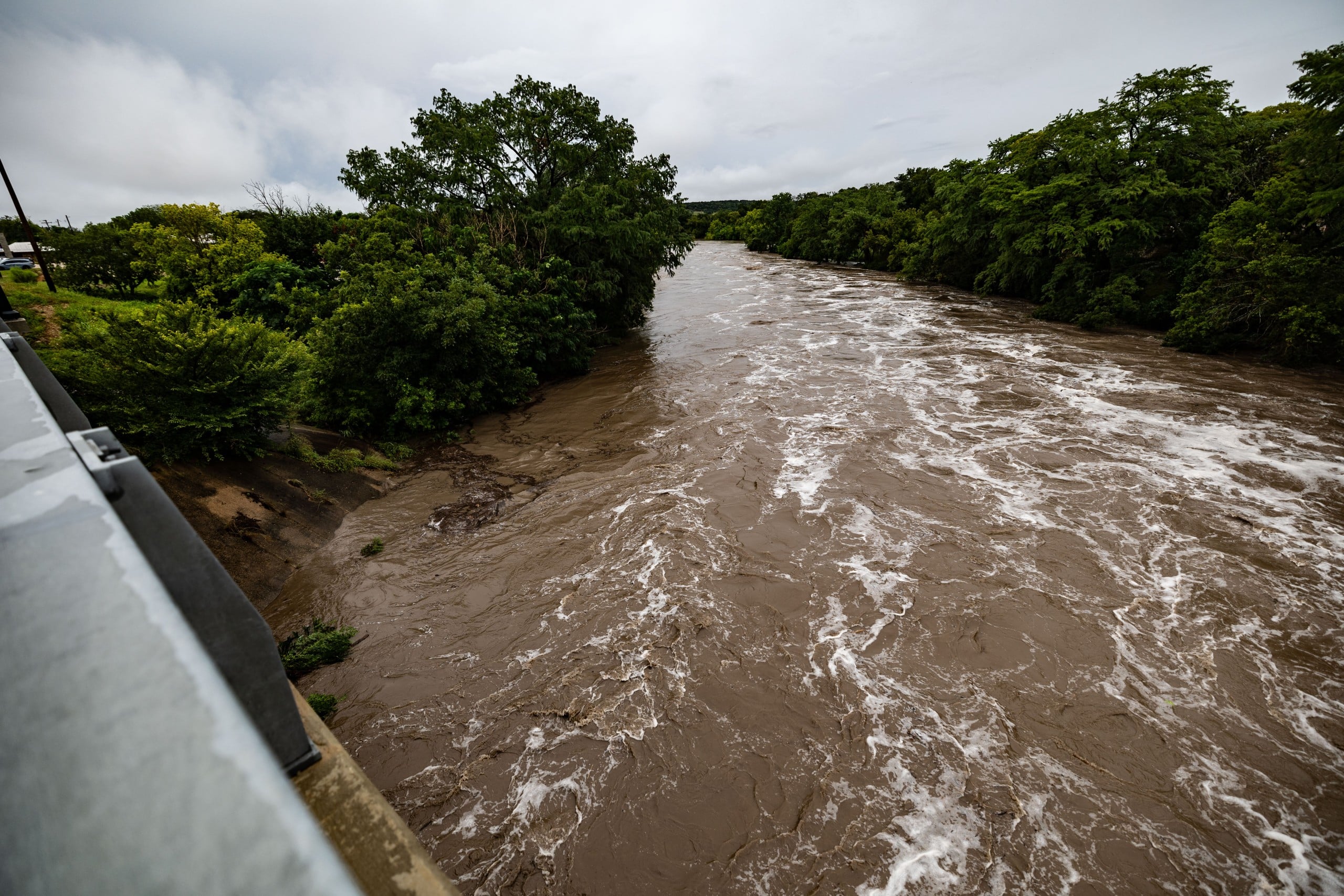
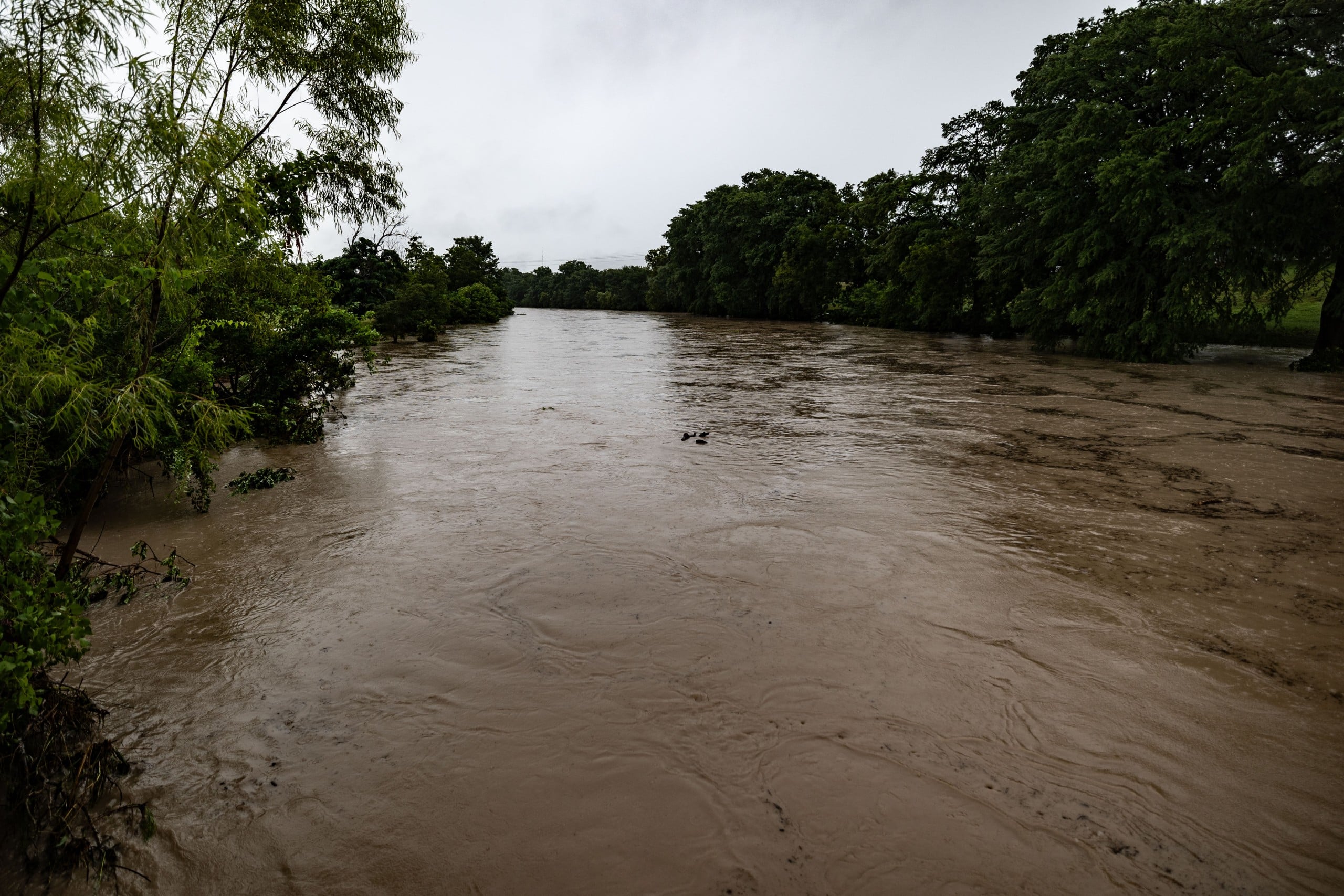
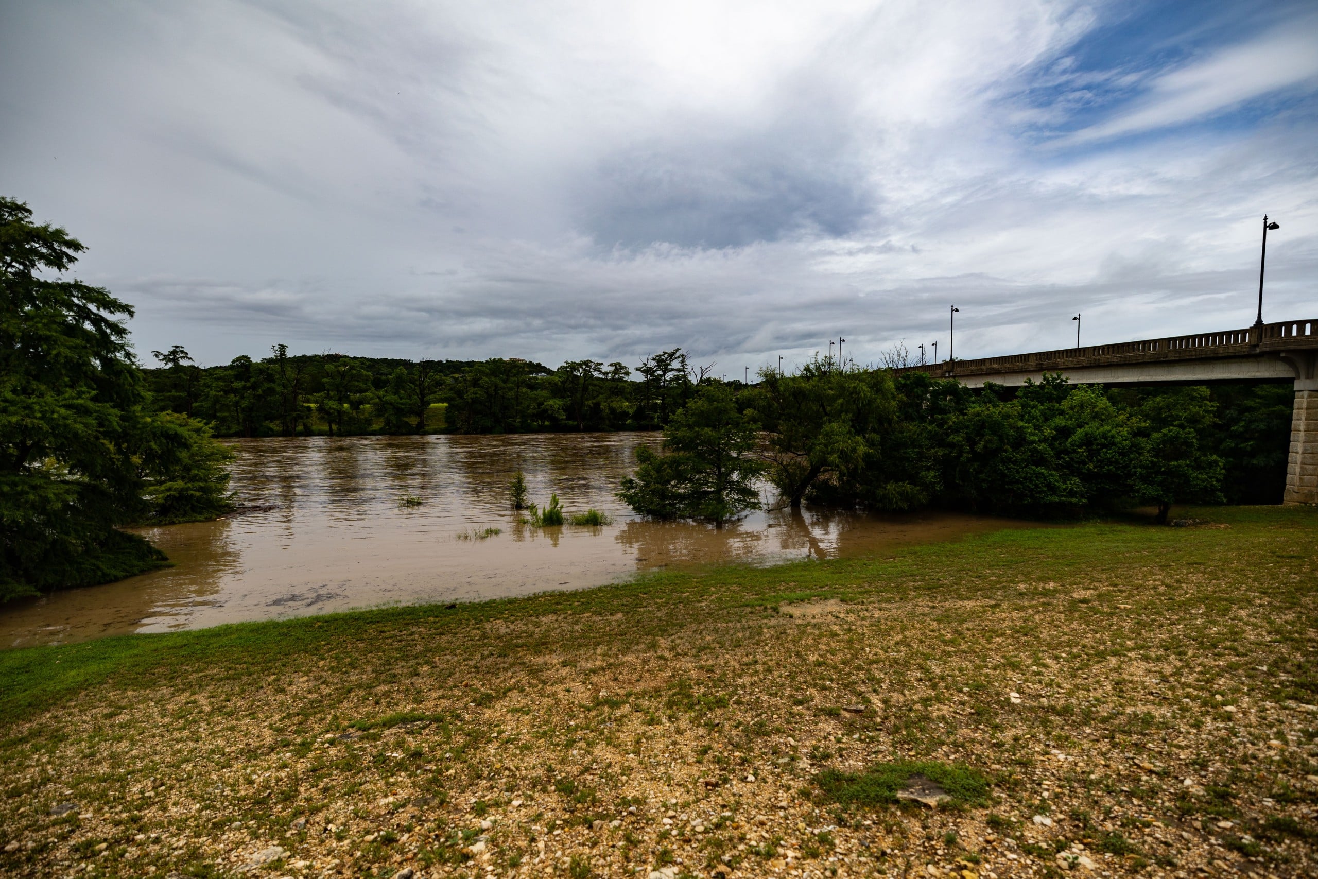
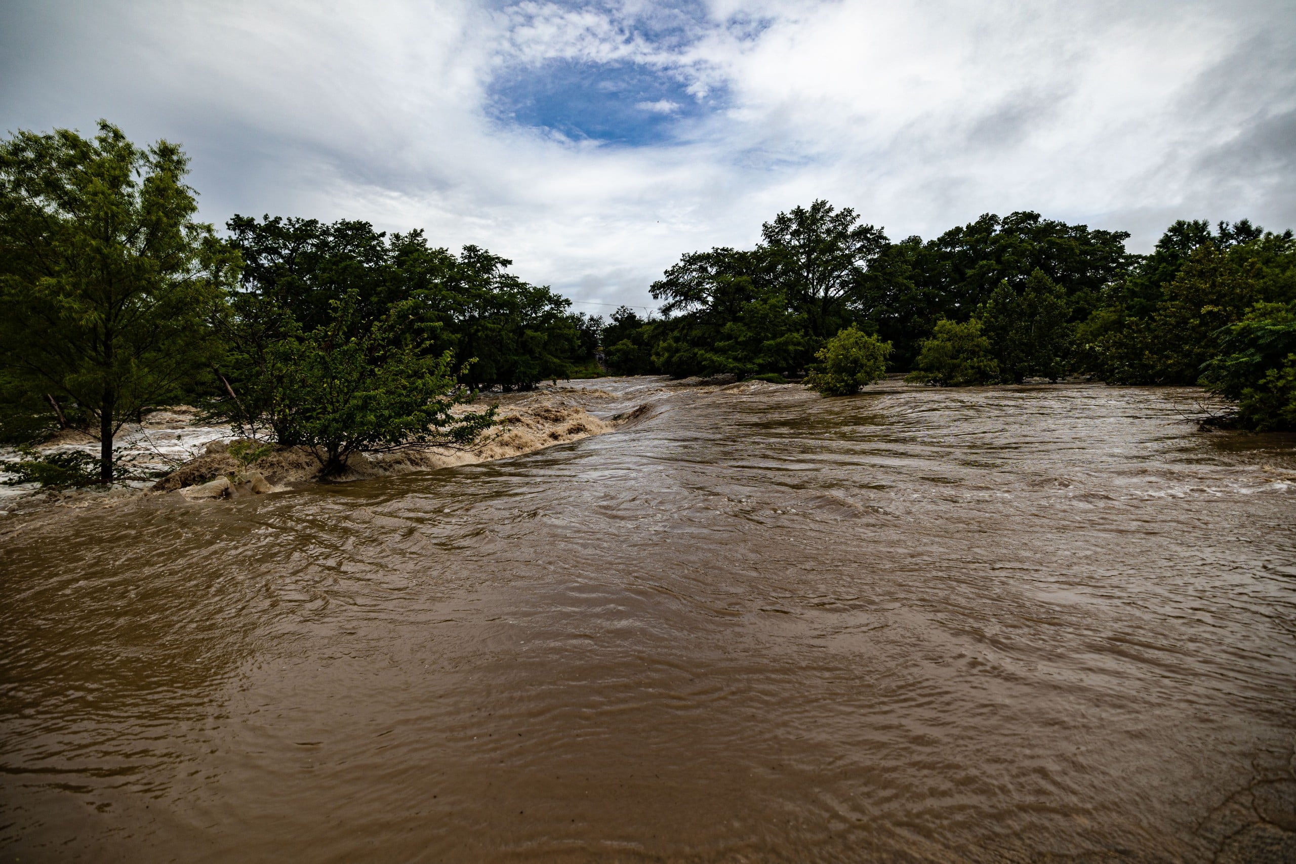
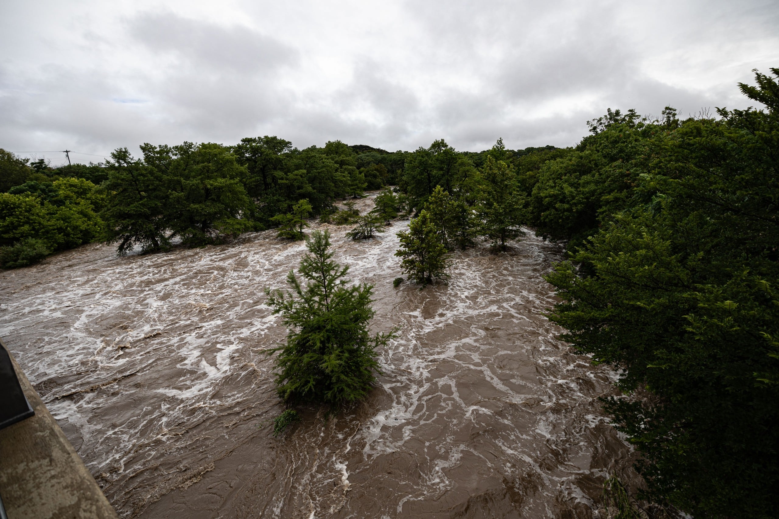
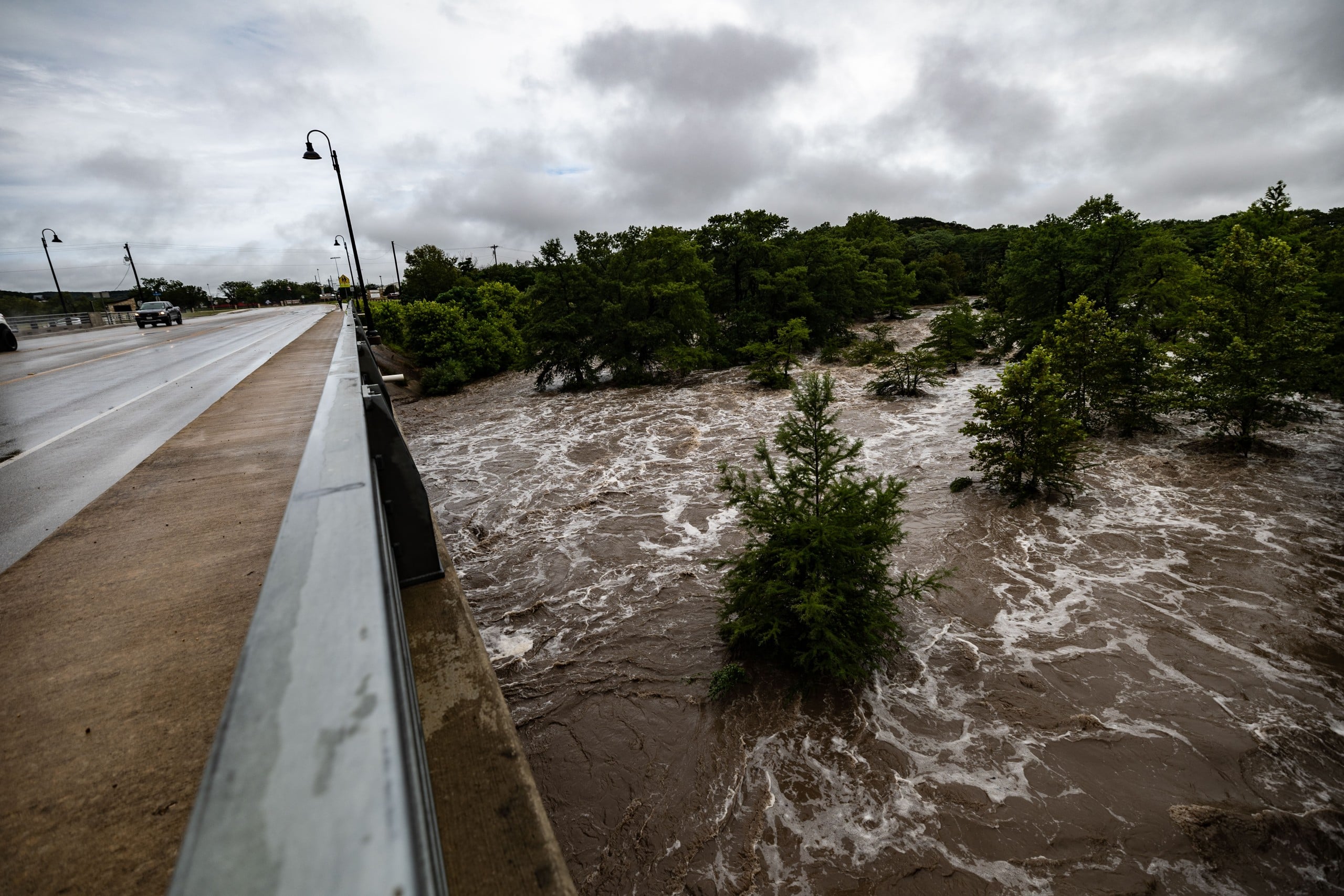
January 14-16 — Arctic cold snap
A strong cold front brought sub-freezing temperatures and wind chills as low as zero degrees for three nights, with light ice accumulation causing scattered minor problems around the county.
2023: A summer that wouldn’t quit
June through September — Extended heat wave
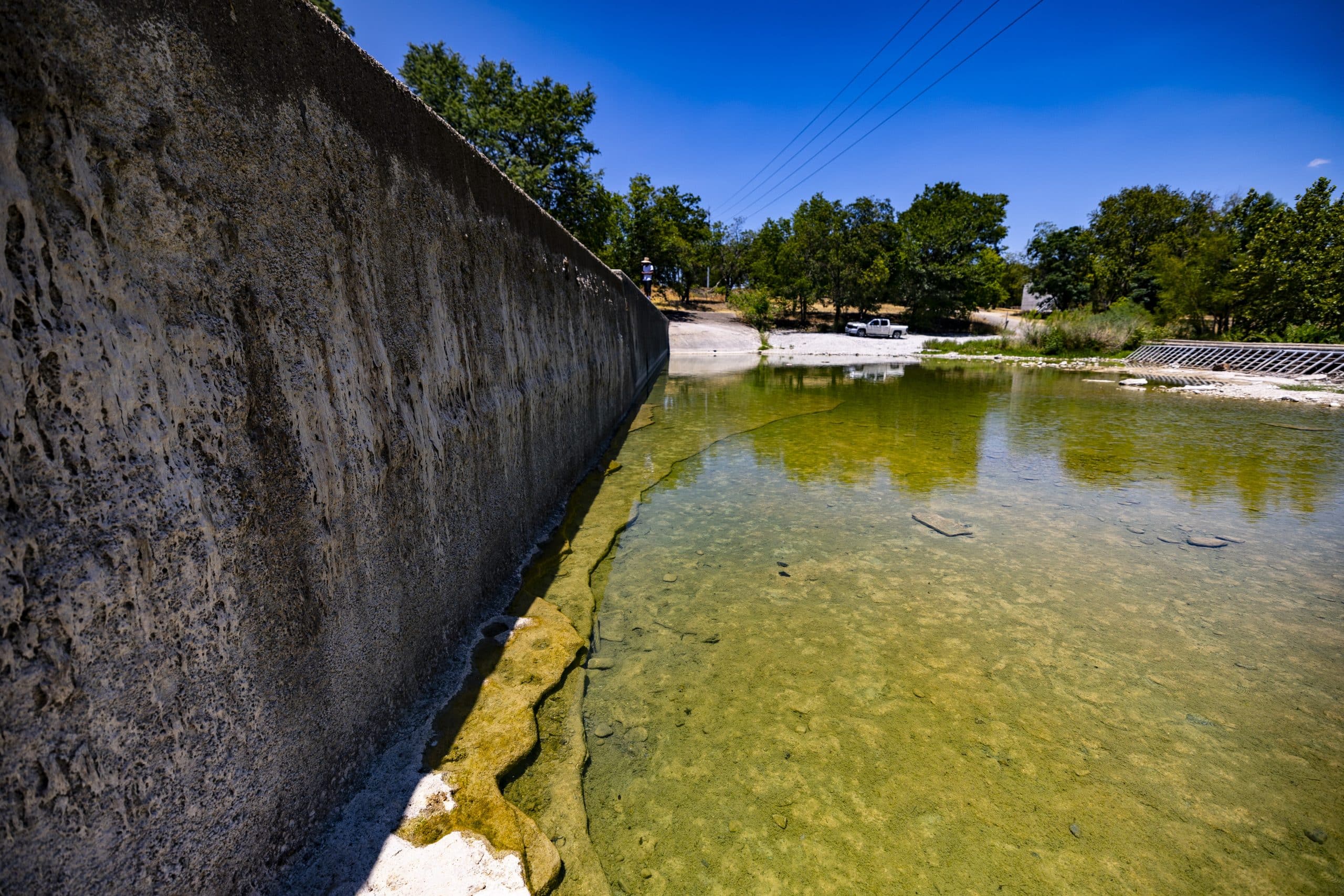
Kerrville hit 100 degrees or hotter 49 times over the summer of 2023 — one of the hottest summers on the 129-year local temperature record. The city logged two separate stretches of 10 or more consecutive 100-degree days, from July 11-23 and again from Aug. 5-15. August alone saw triple-digit heat on 22 of its 31 days, peaking at 106 degrees on Aug. 18. The single hottest day of the year, though, came earlier than most residents likely remember: 107 degrees on June 22.
January 30-February 2 — Ice storm
A slow-moving ice storm left as much as two-thirds of an inch of ice accumulation on area roads, part of a stretch of freezing rain and drizzle that came and went over several days. Kerr County’s electric cooperatives, Bandera Electric and the Central Texas Electric Cooperative, reported a combined $214,000 in damage.
2022: Drought, wildfire and a second winter storm
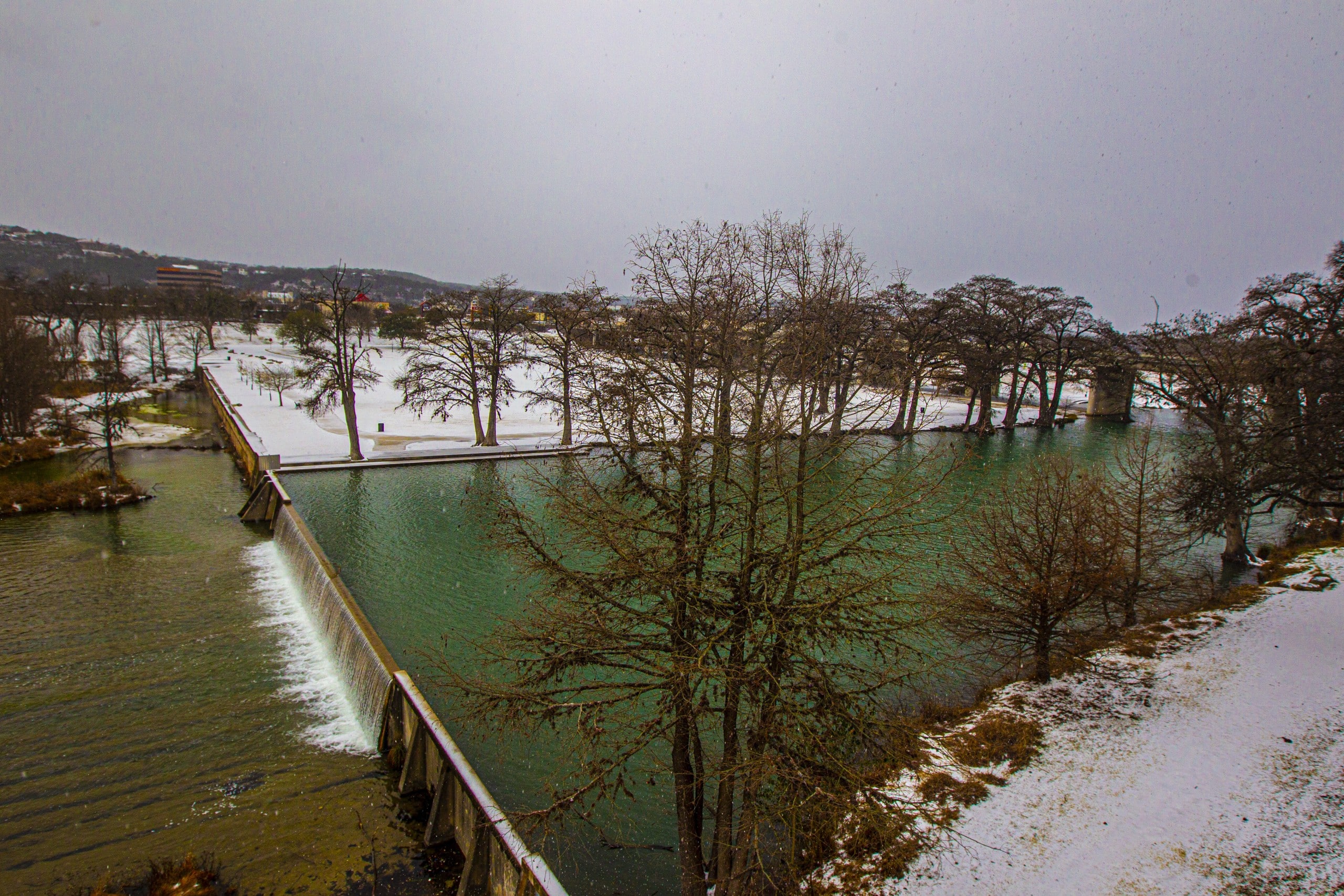
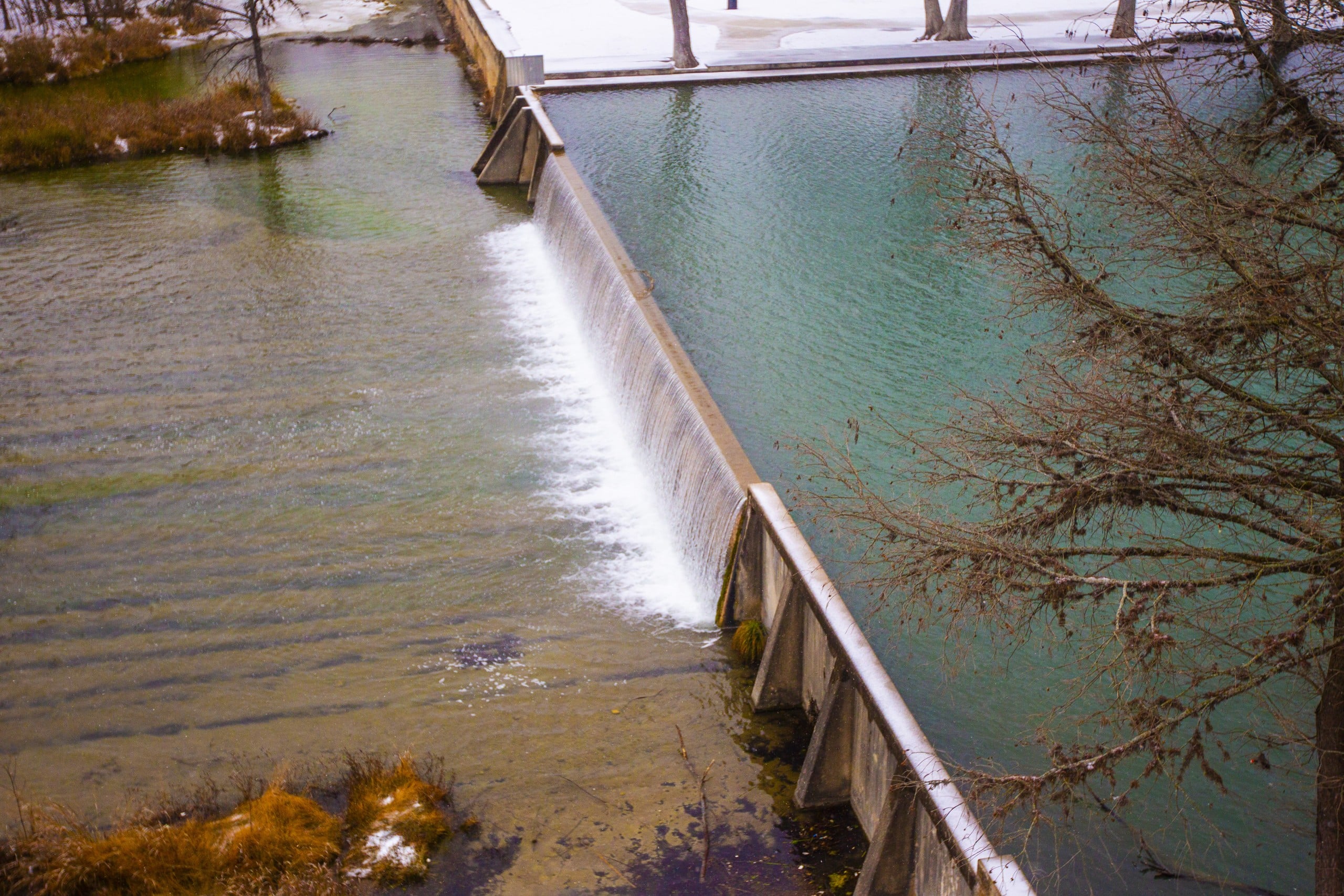
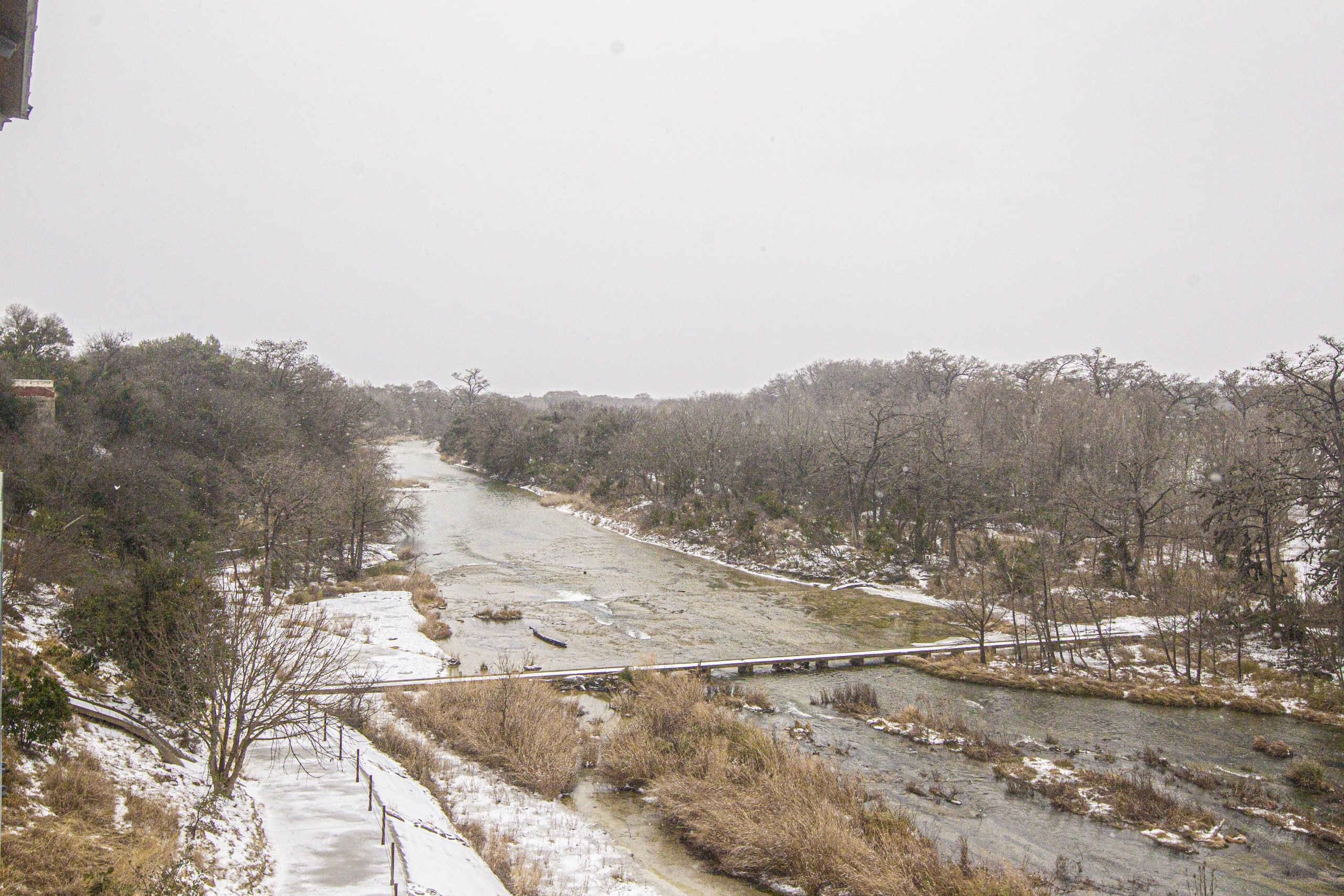
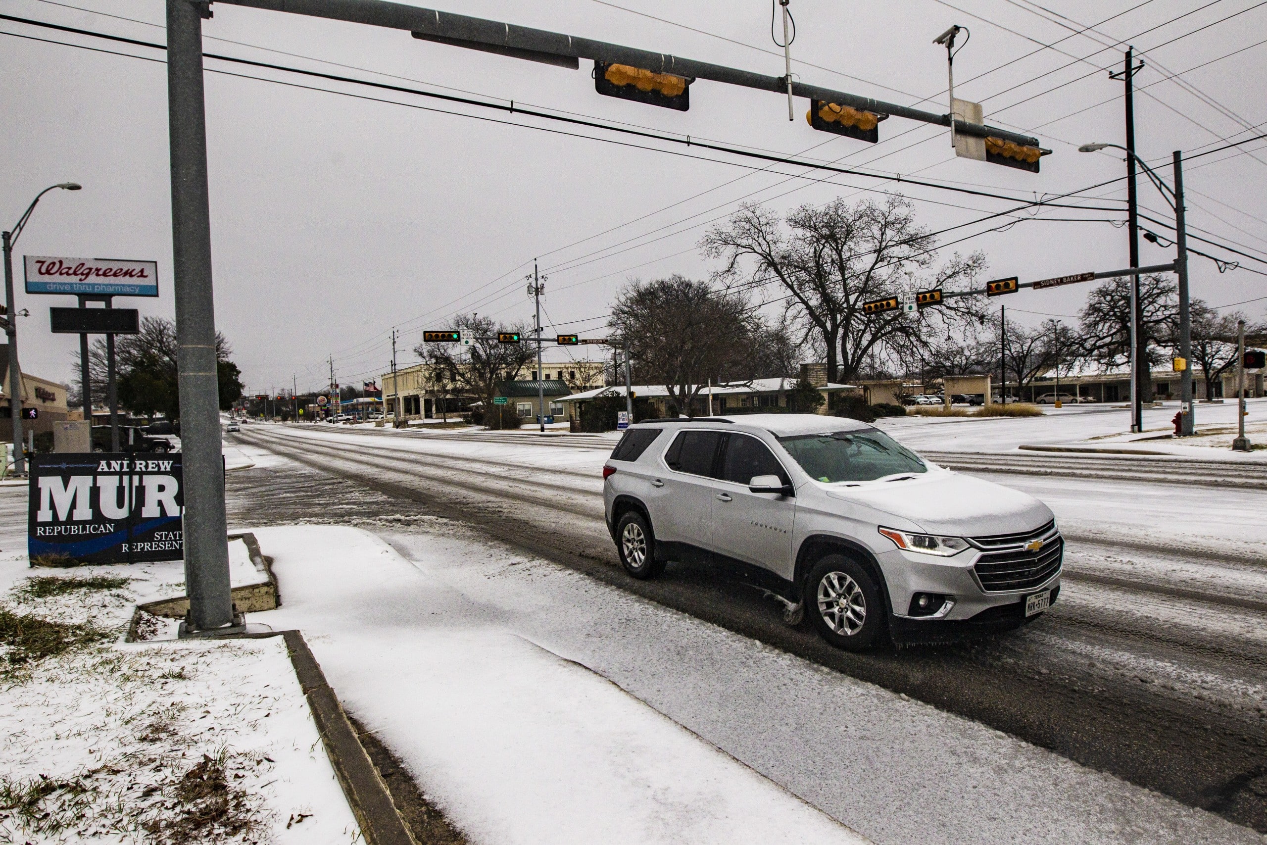
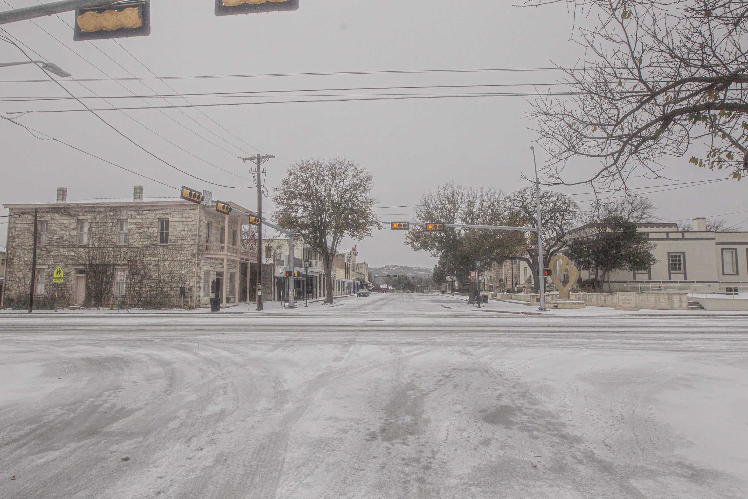
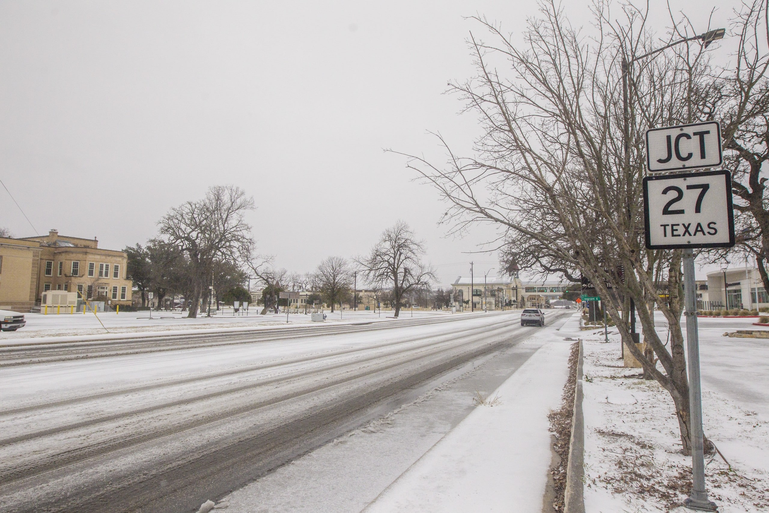
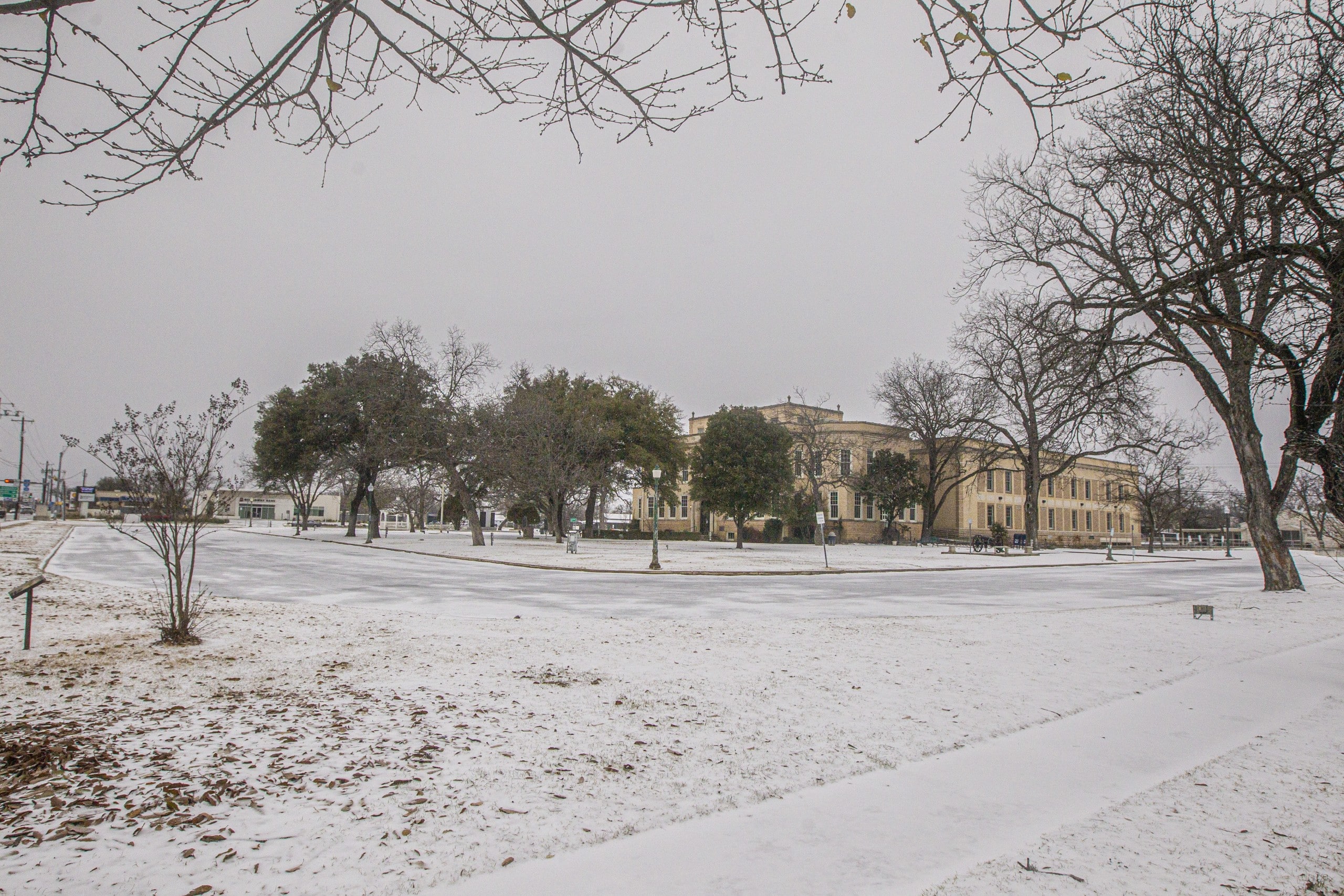
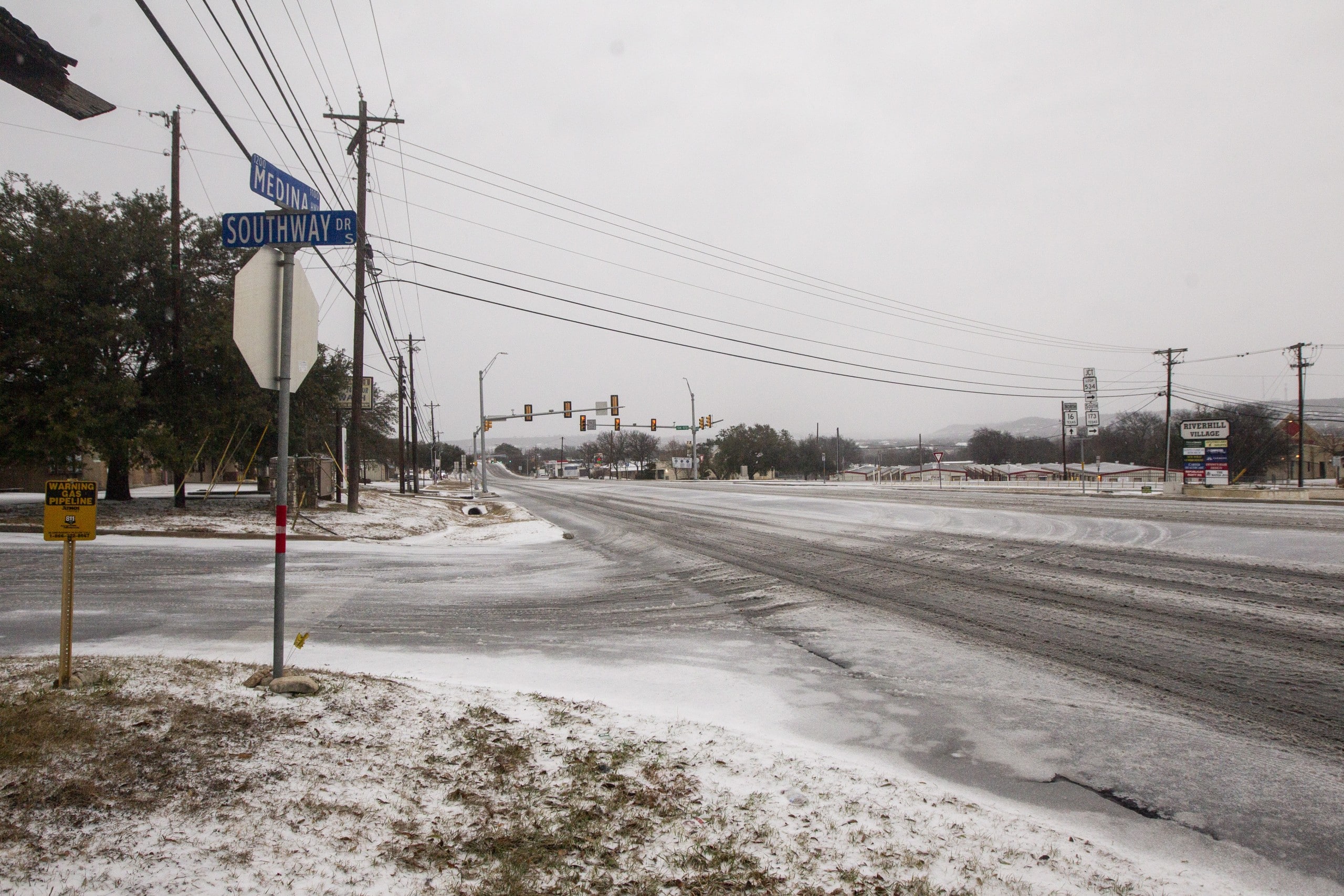
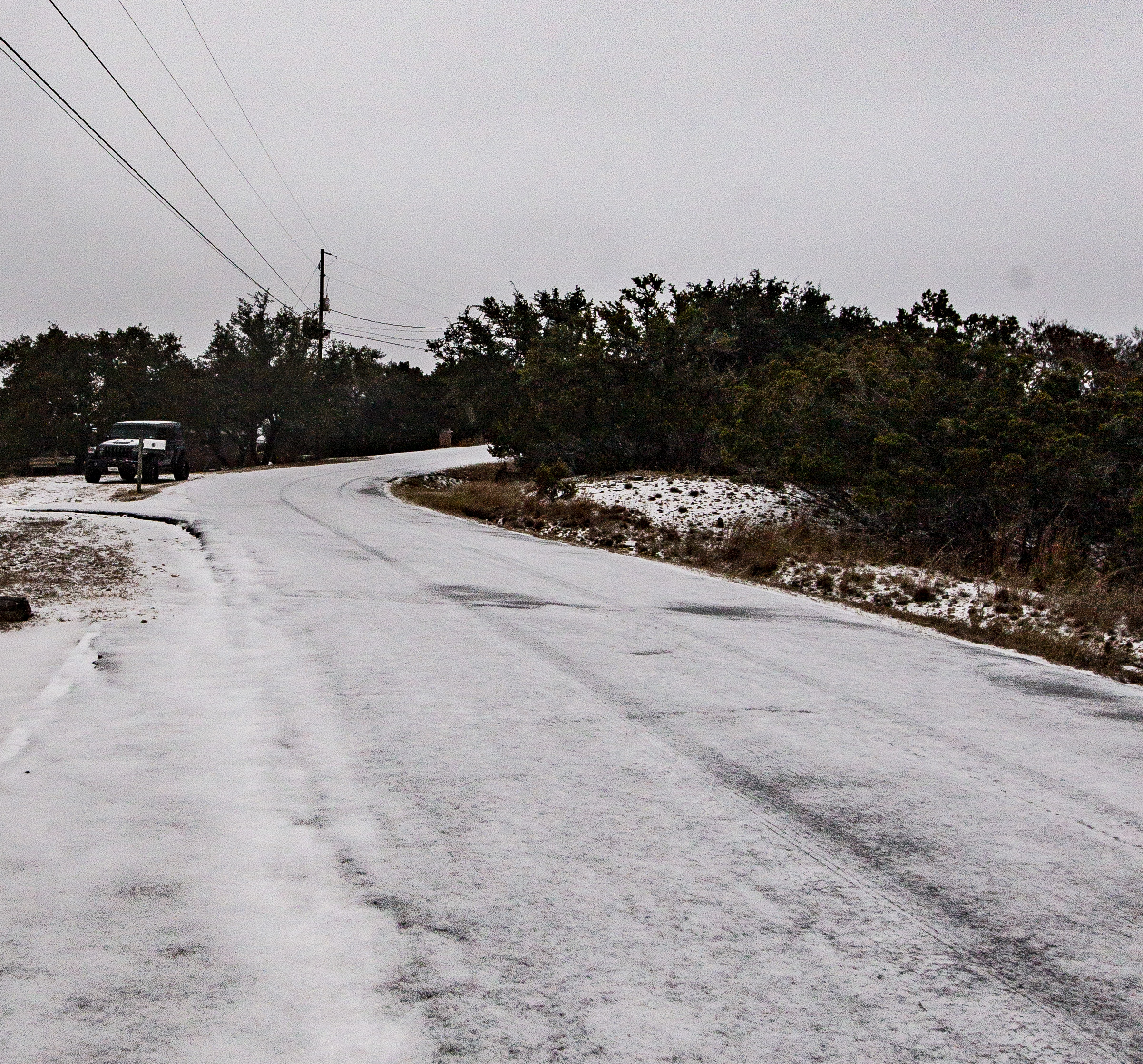
Almost exactly a year after Winter Storm Uri, a second — milder — winter storm hit the Hill Country in early February 2022, with Kerrville’s low temperature falling to 15 degrees. A separate, sharper cold snap in late December, part of a national Christmas-week arctic outbreak, dropped the temperature to 12 degrees with wind chills as low as minus 9.
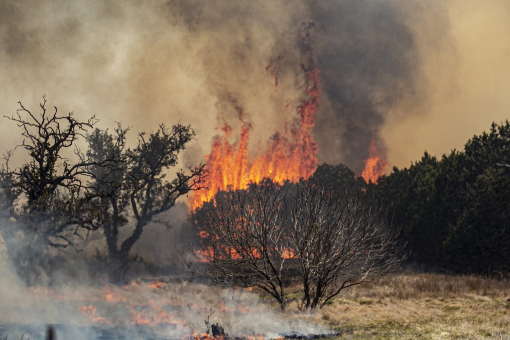
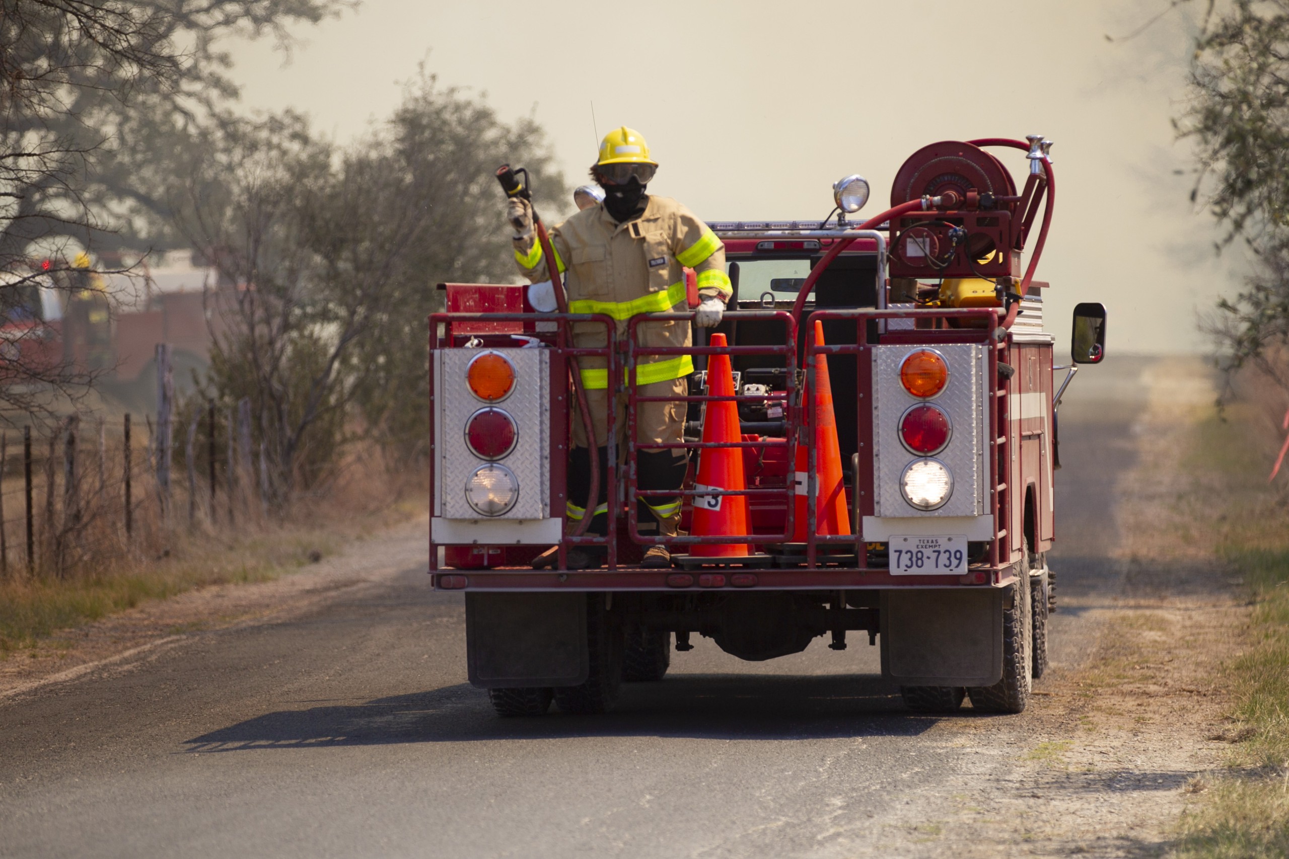
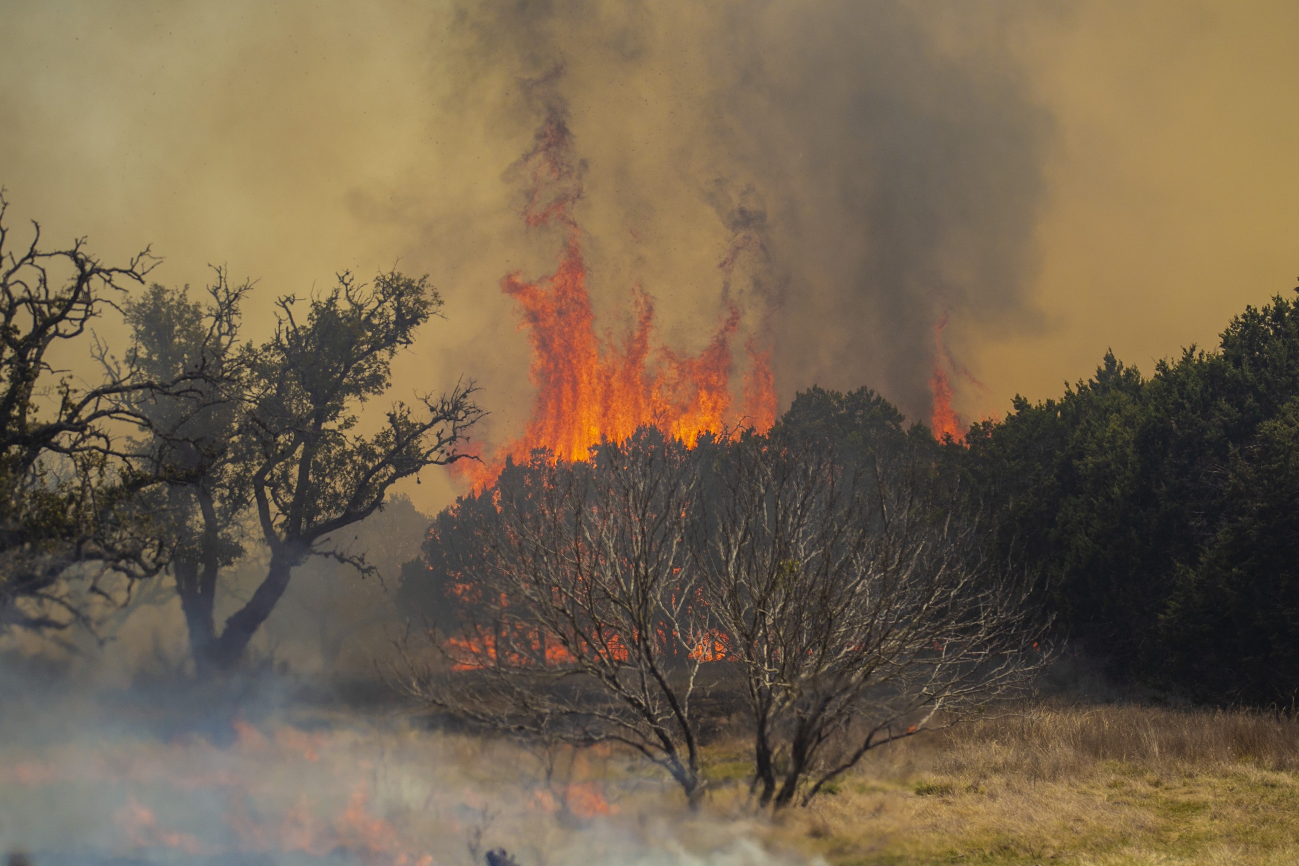
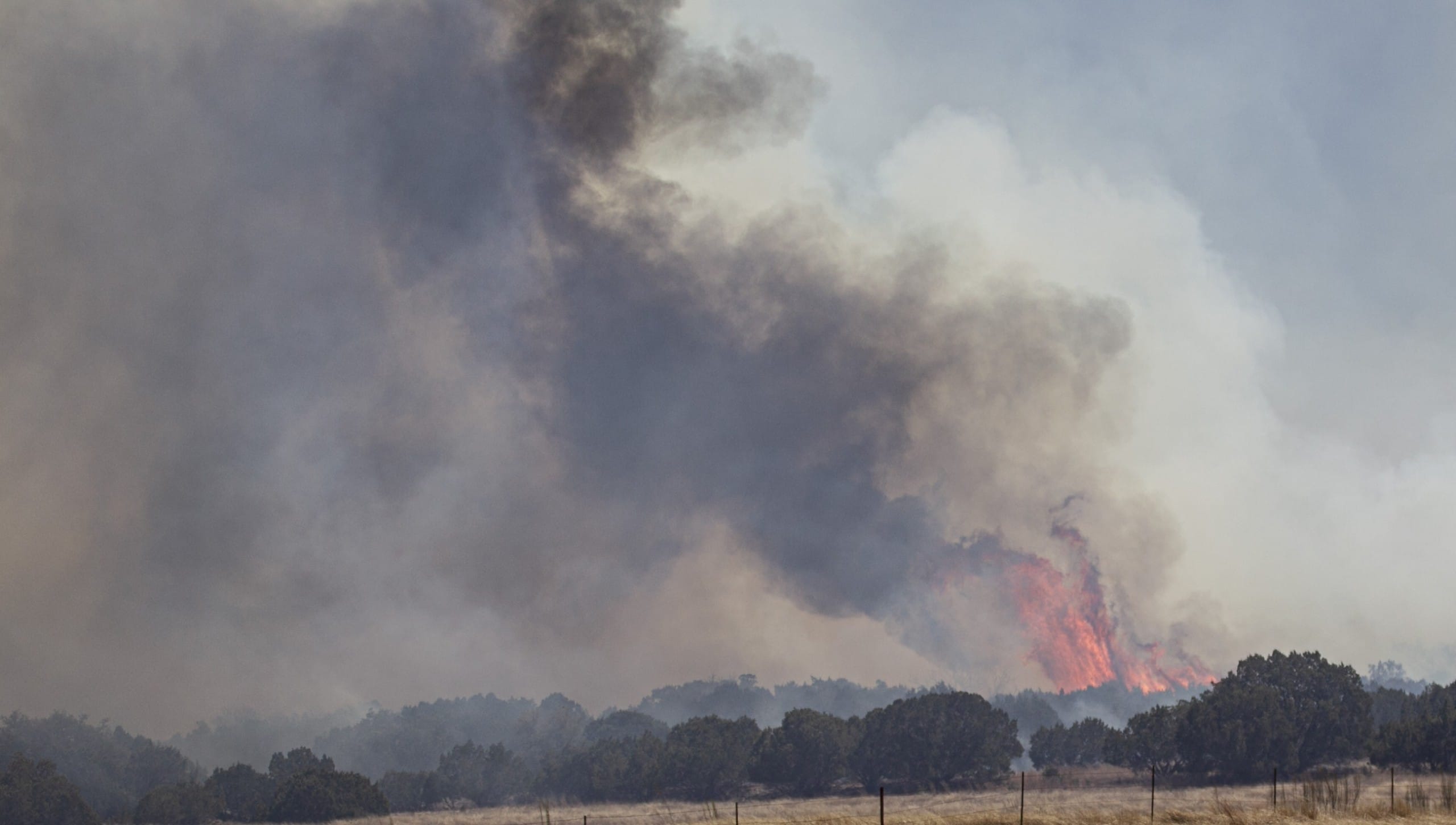
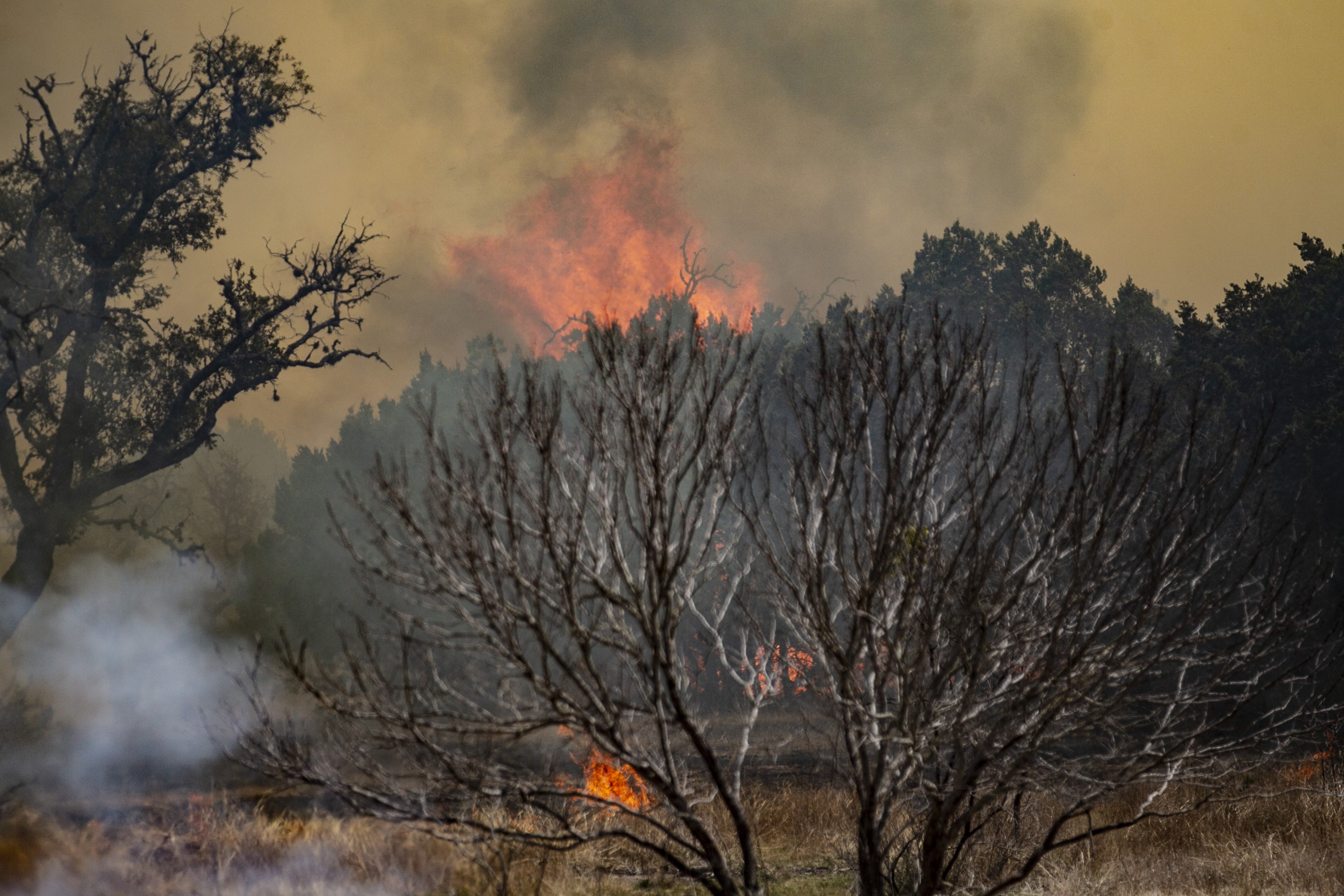
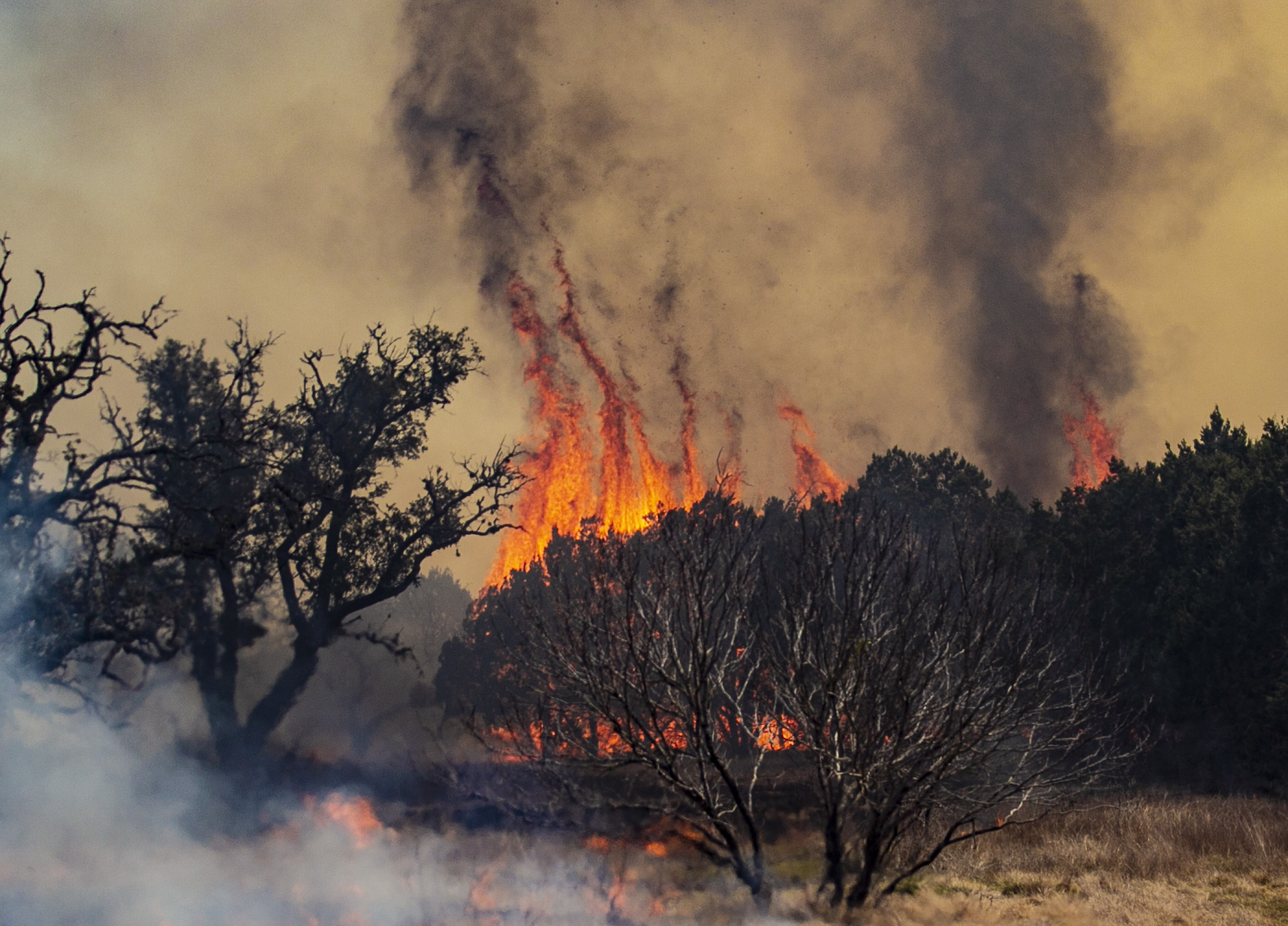
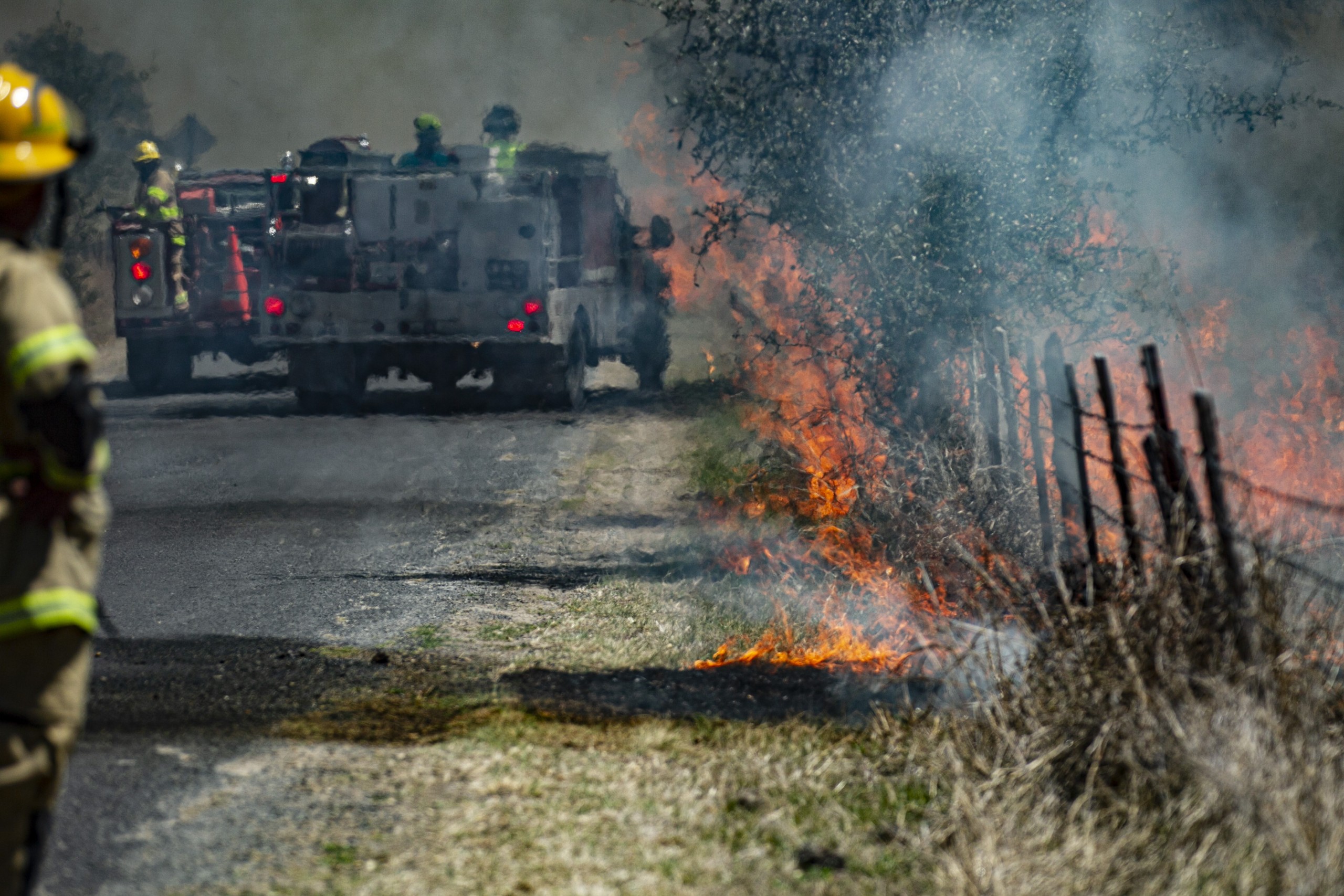
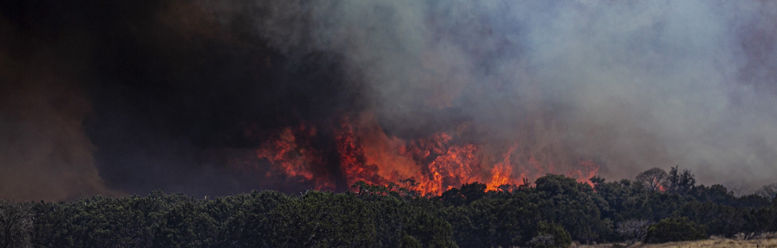
The year unfolded inside a punishing, multi-year drought — one so severe that river-flow data later confirmed 2022 as the second-driest year in 40 years of Guadalupe River records at Kerrville, behind only 2023. Two wildfires broke out during the driest stretch: the Sakewitz fire in March, which burned 238 acres near the Kerr-Kendall county line and destroyed a barn, and the Buckshot fire in June, which burned 257 acres near Kerrville.
2022 Winter Storm
Center Point Fire

2021: The Deep Freeze

February 11-20 — Winter Storm Uri
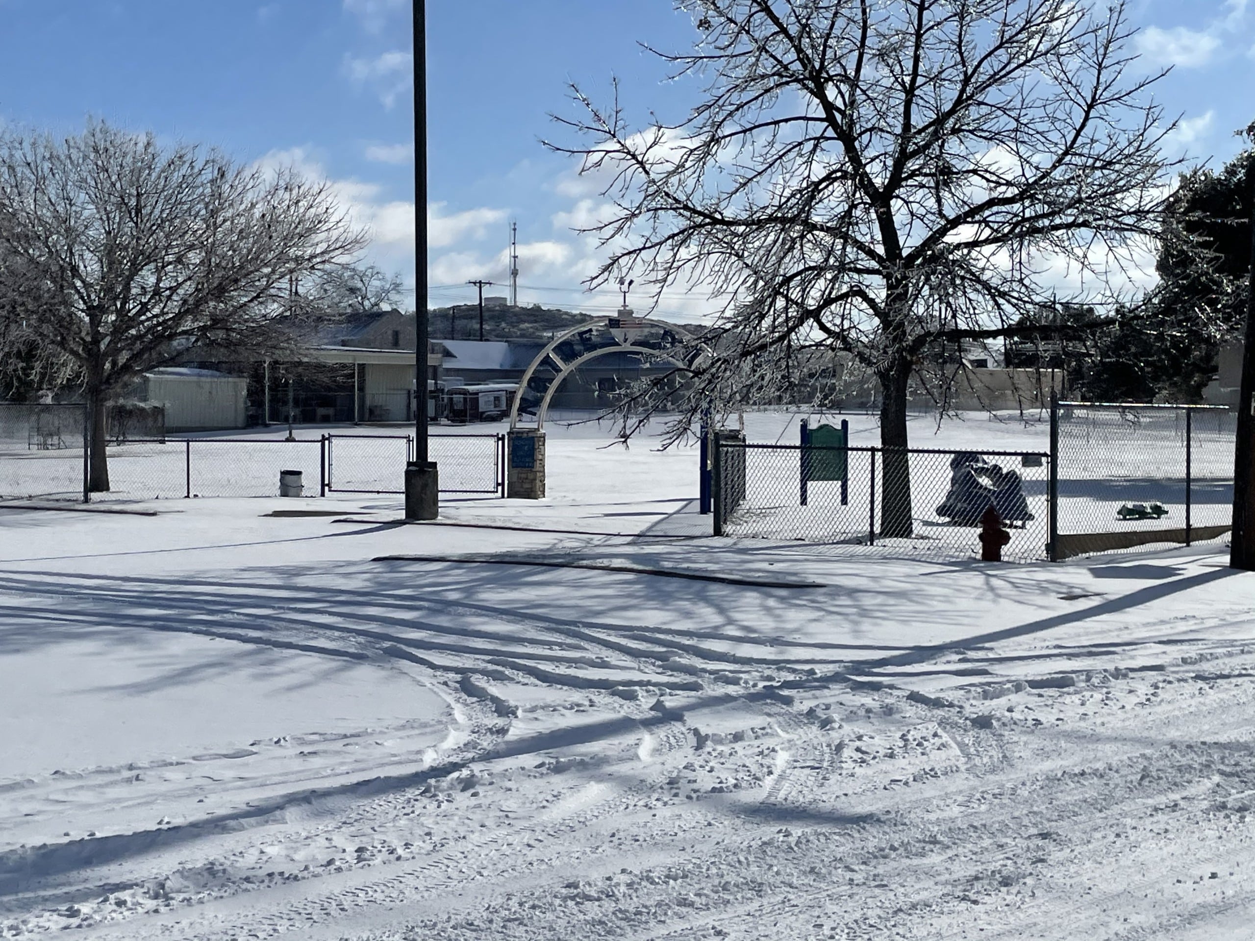
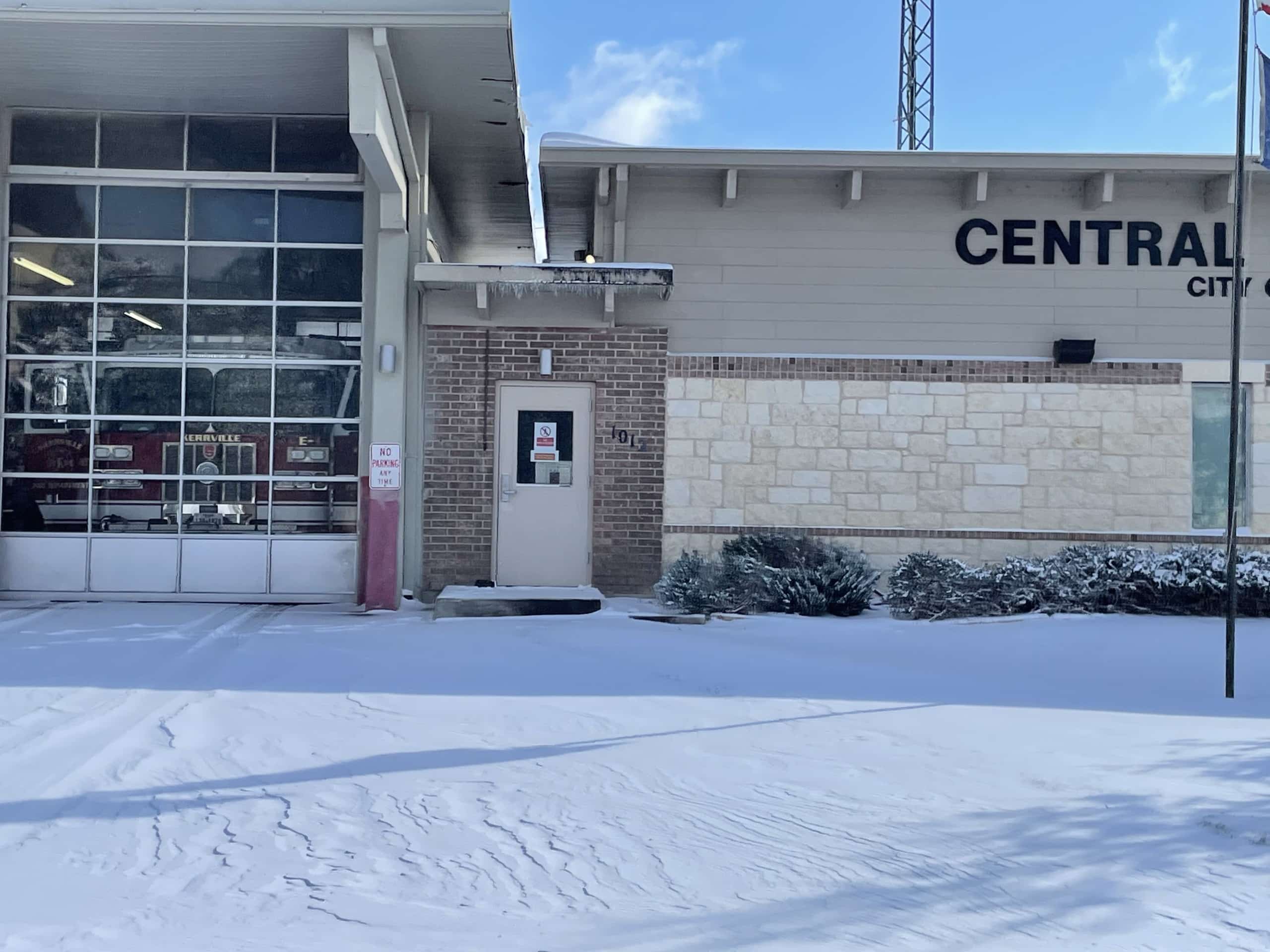
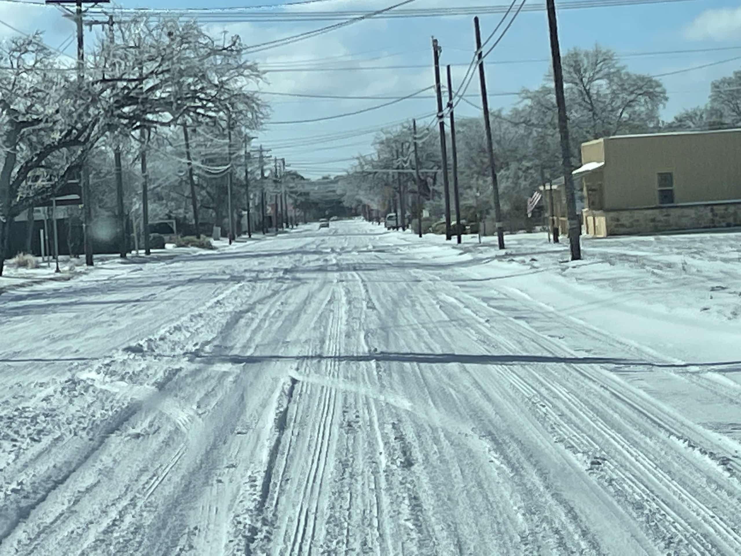
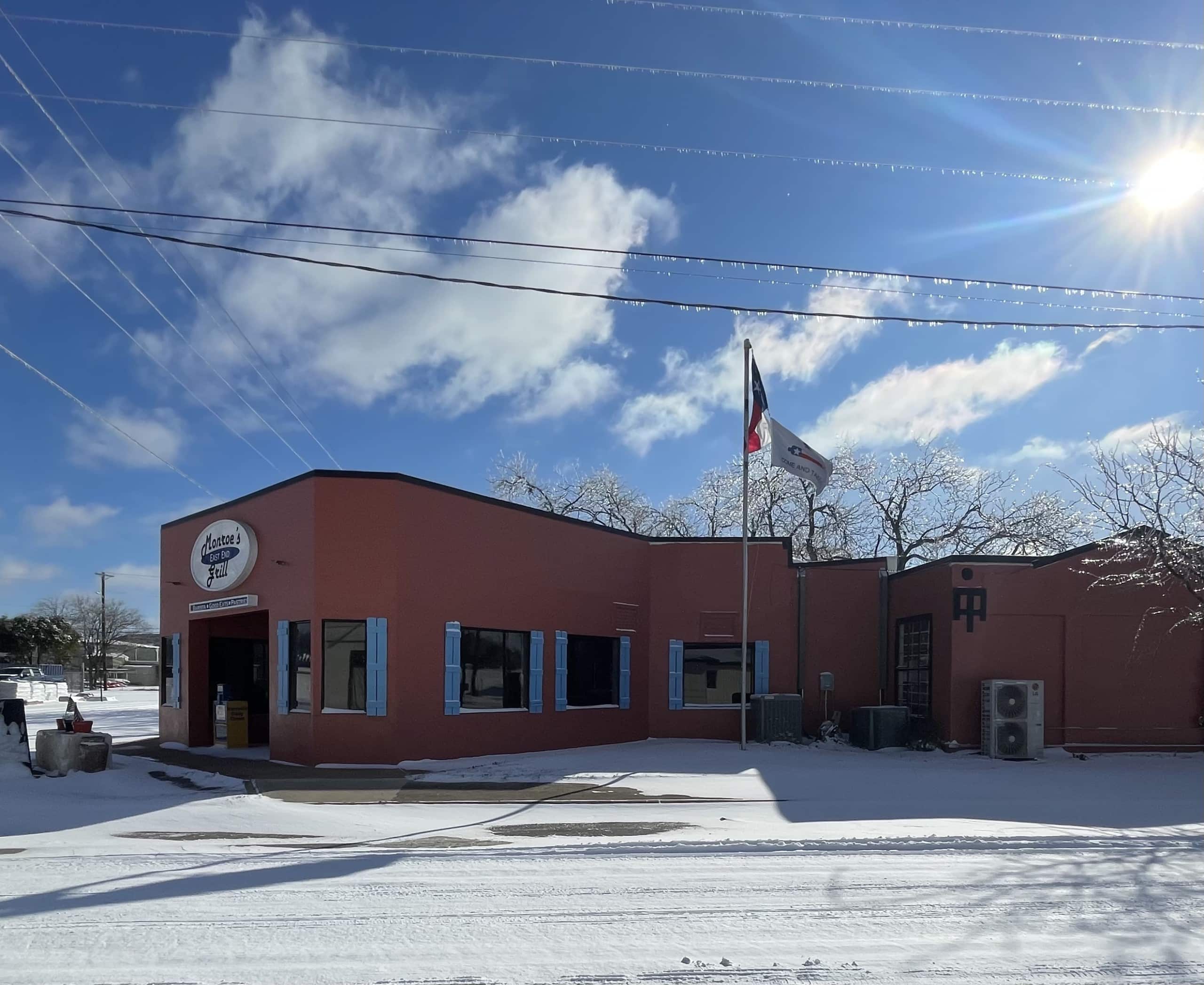
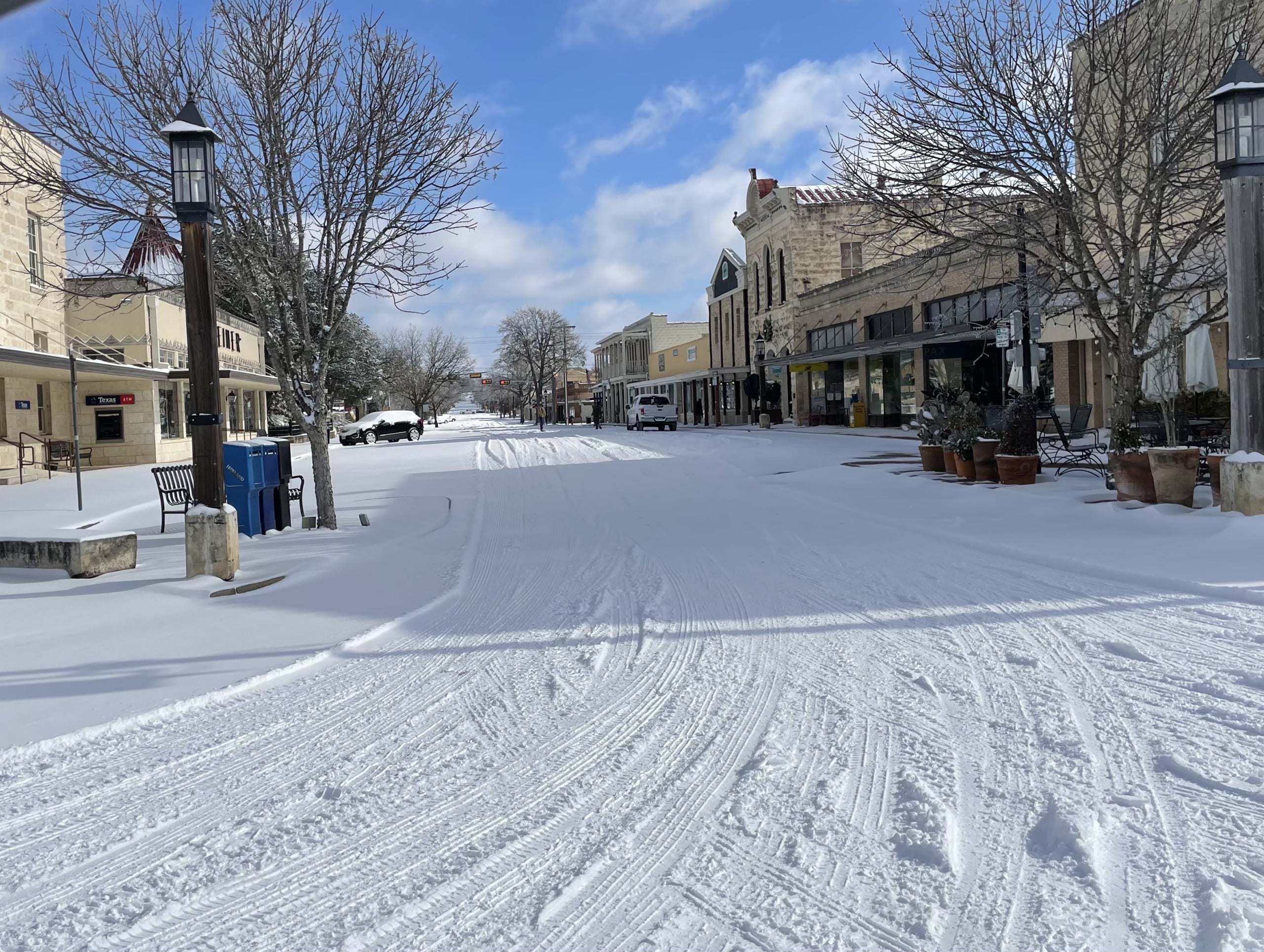
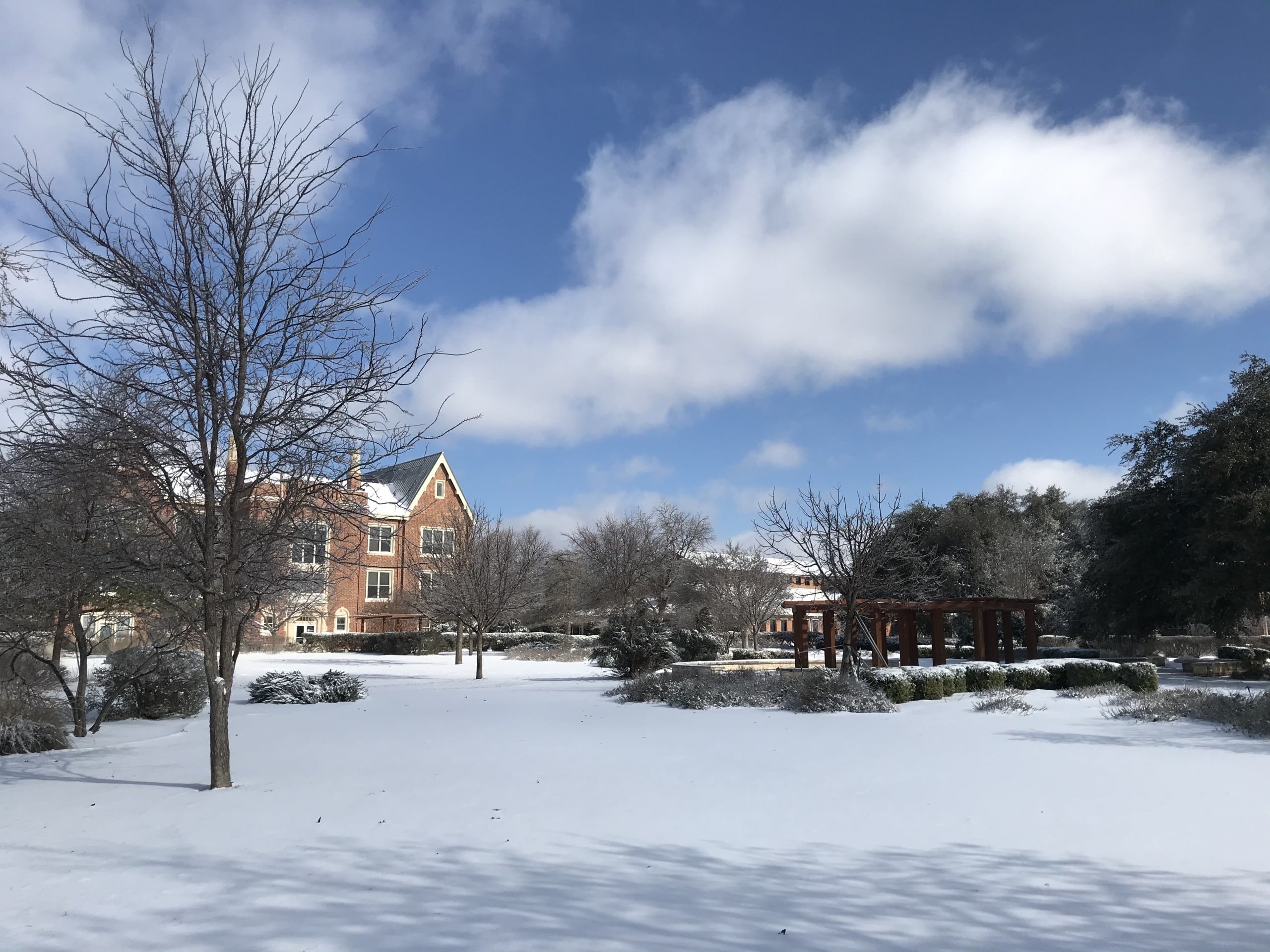
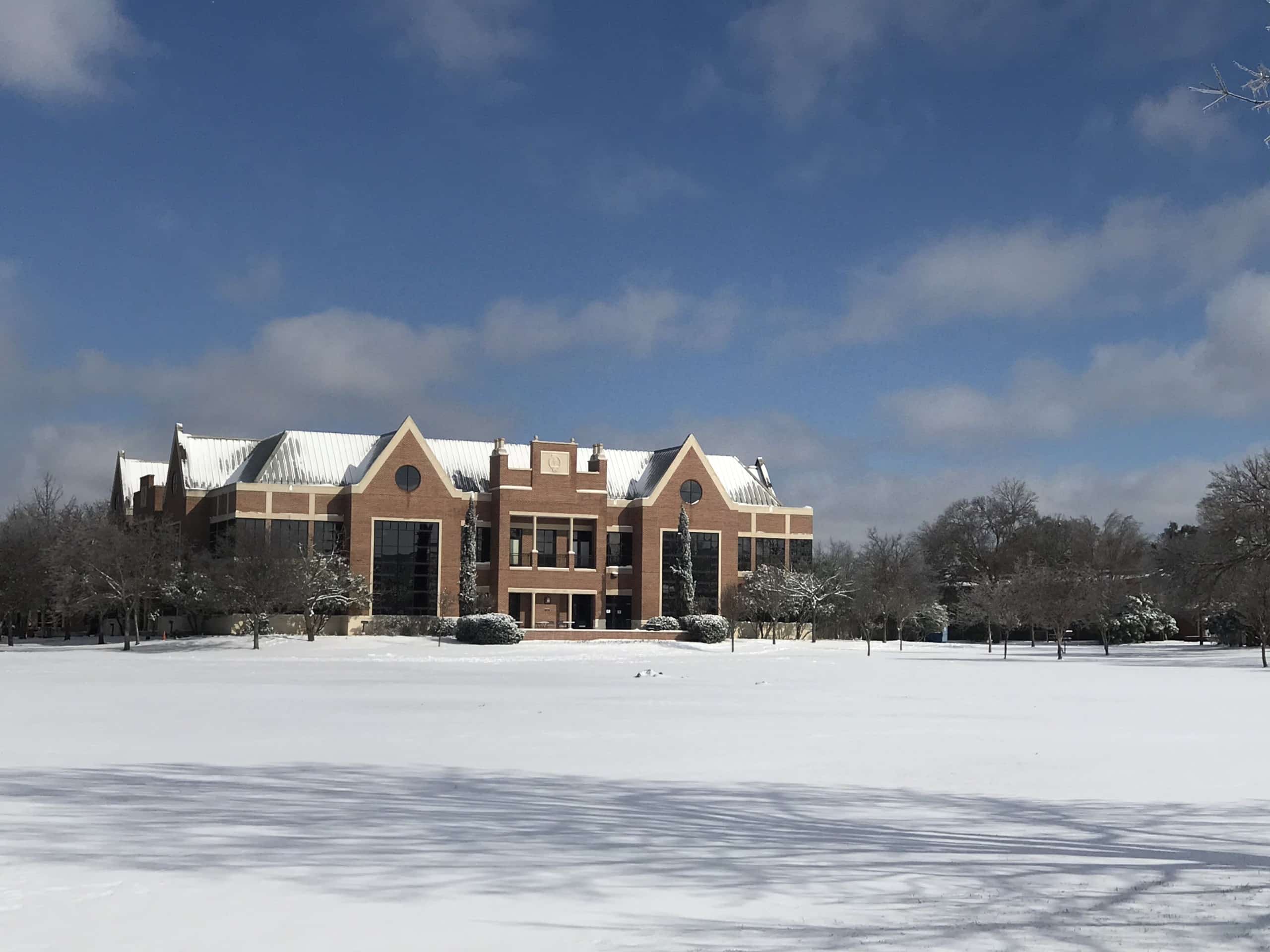
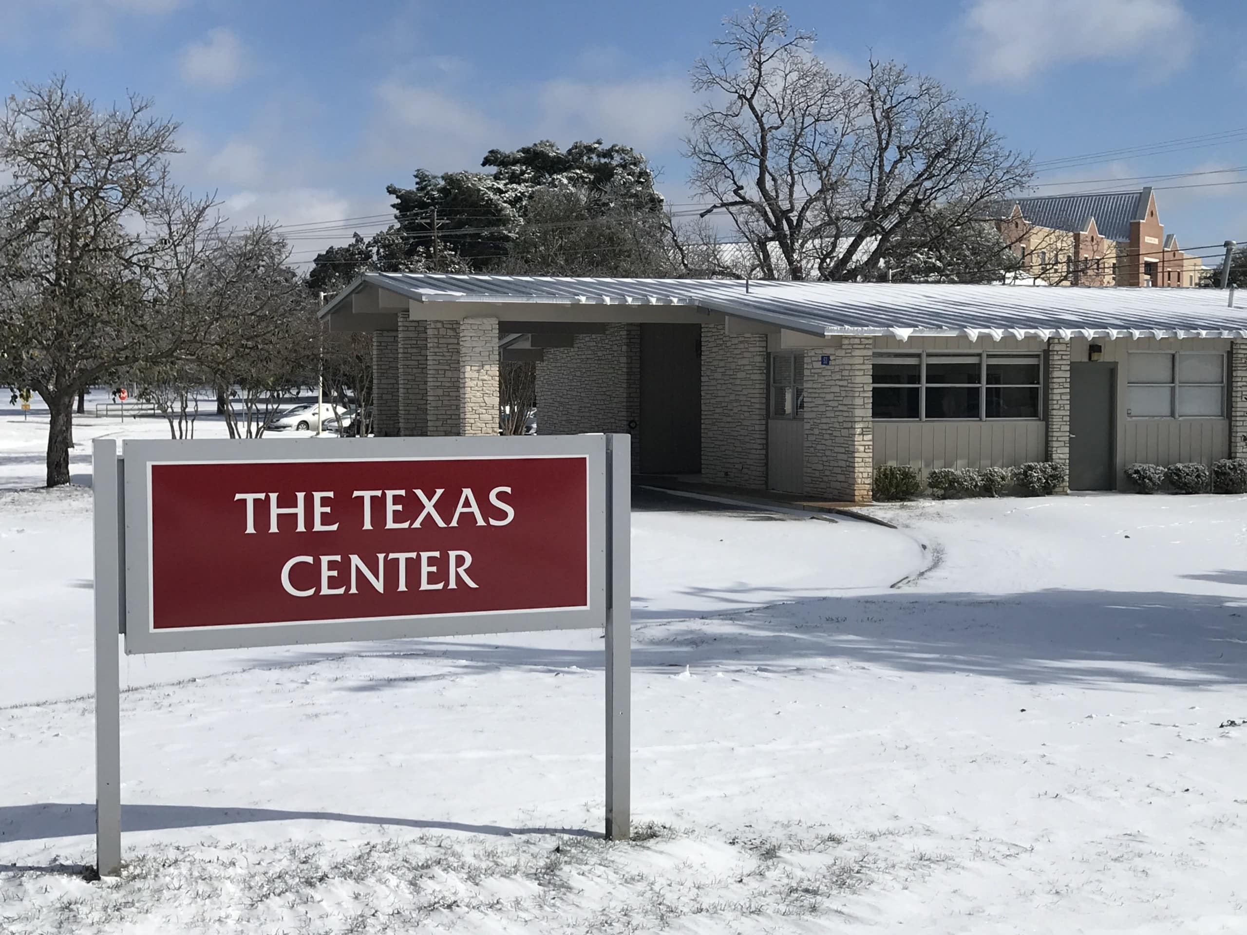
The storm that redefined how Kerr County thinks about disaster arrived on a Sunday night in mid-February 2021, when a historic winter storm bore down on Texas and never really let up for the better part of two weeks.
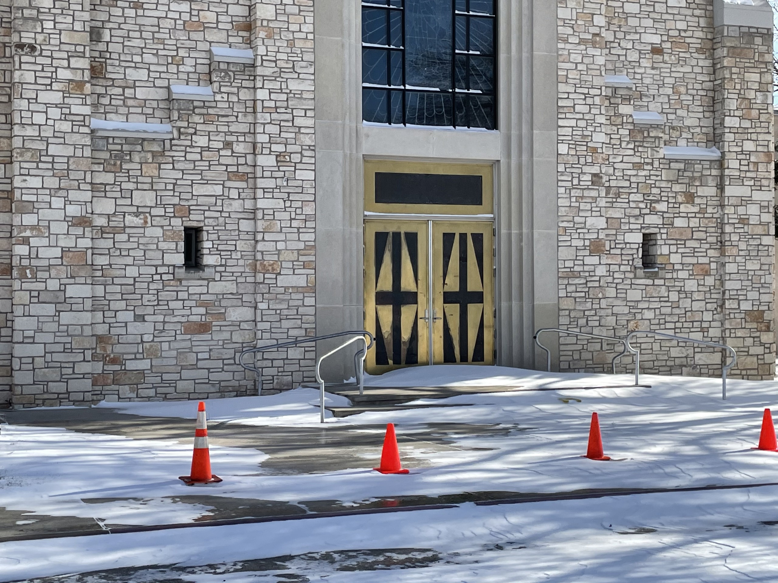
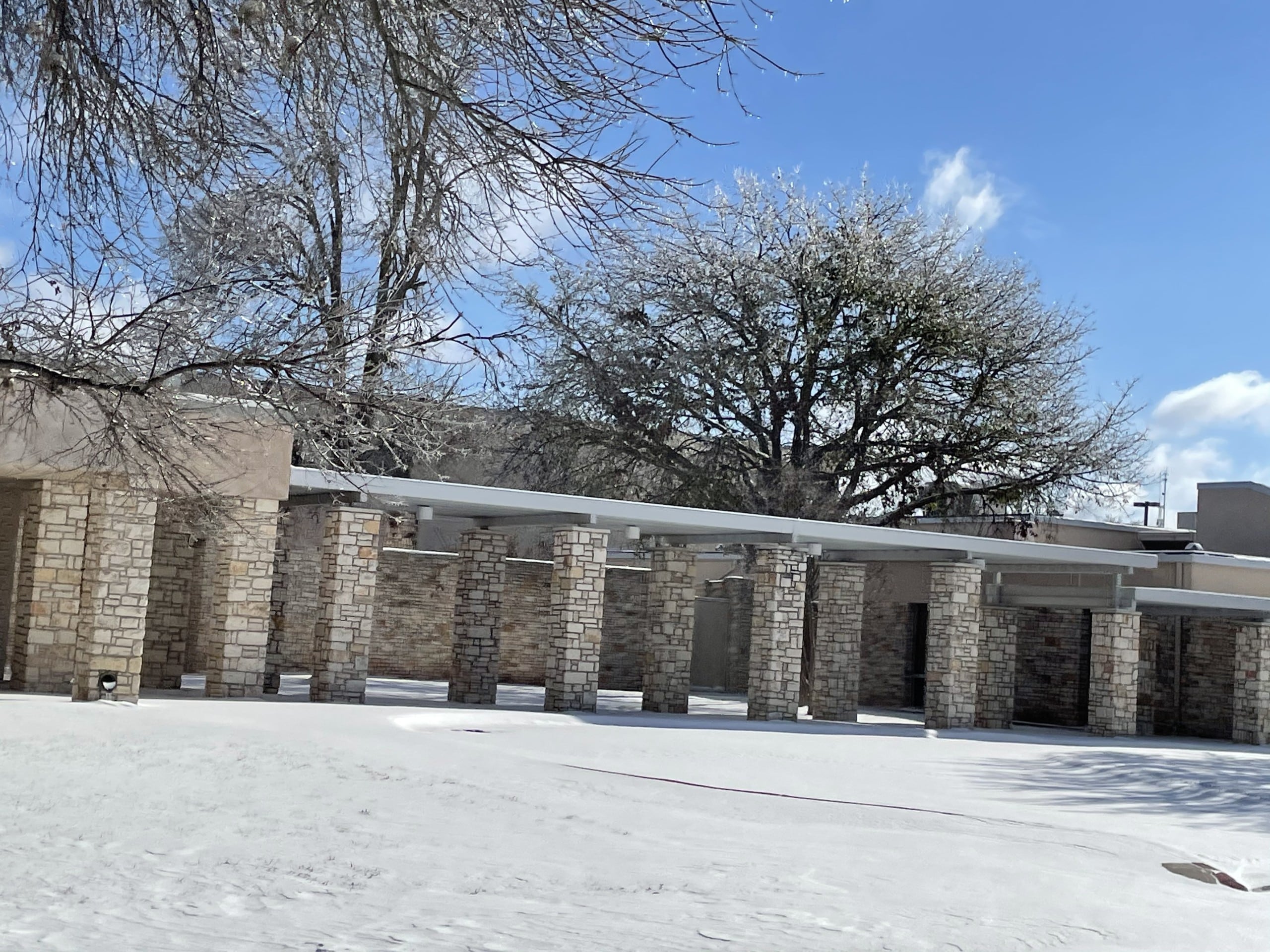
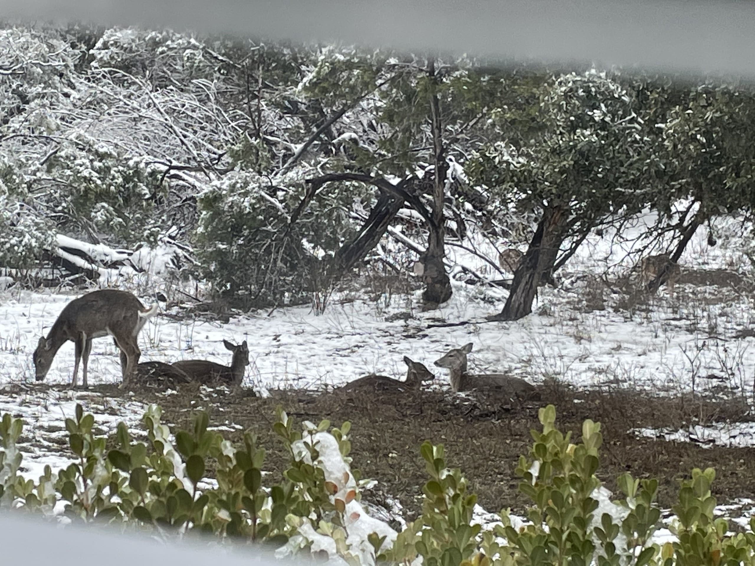
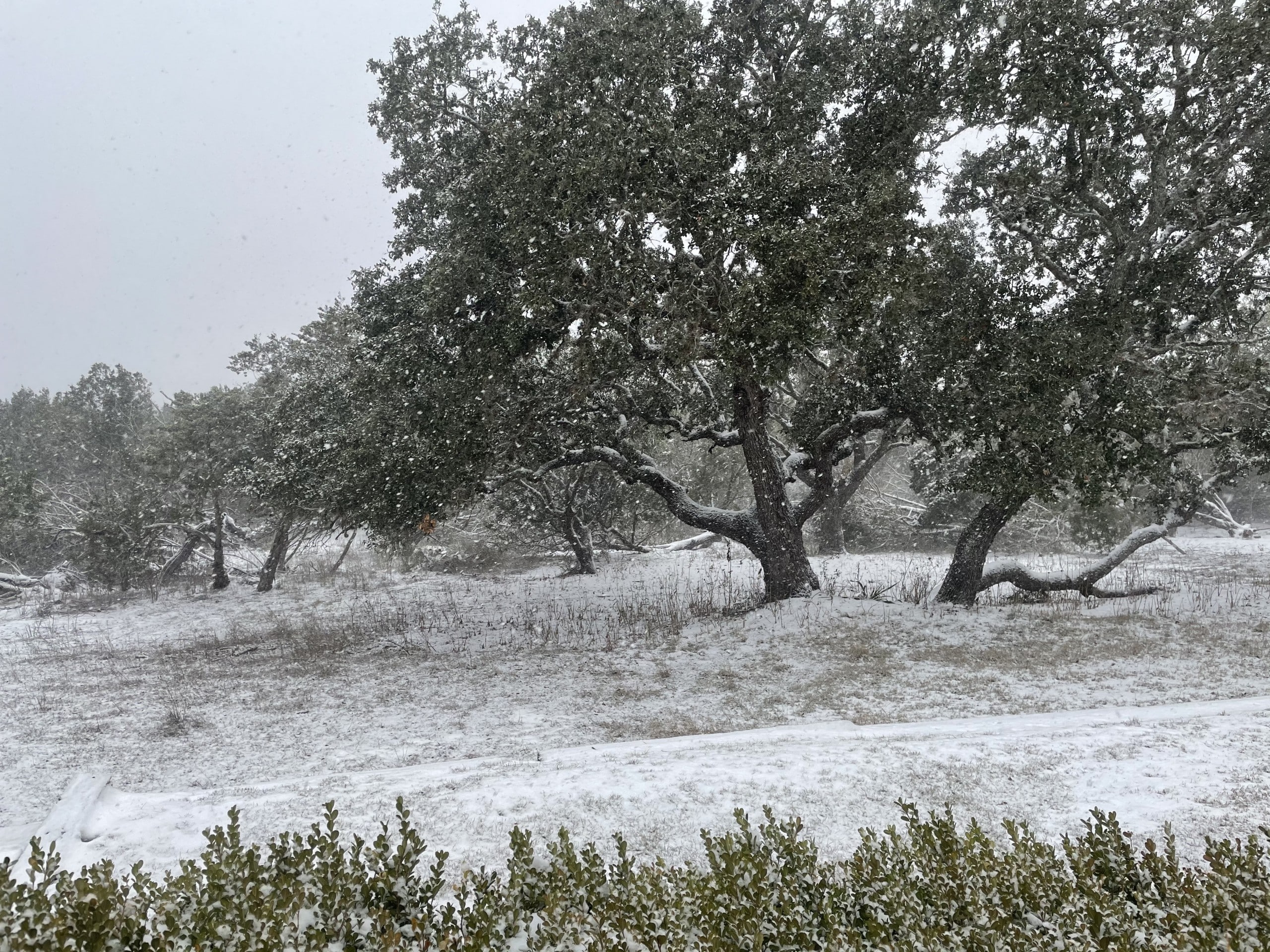
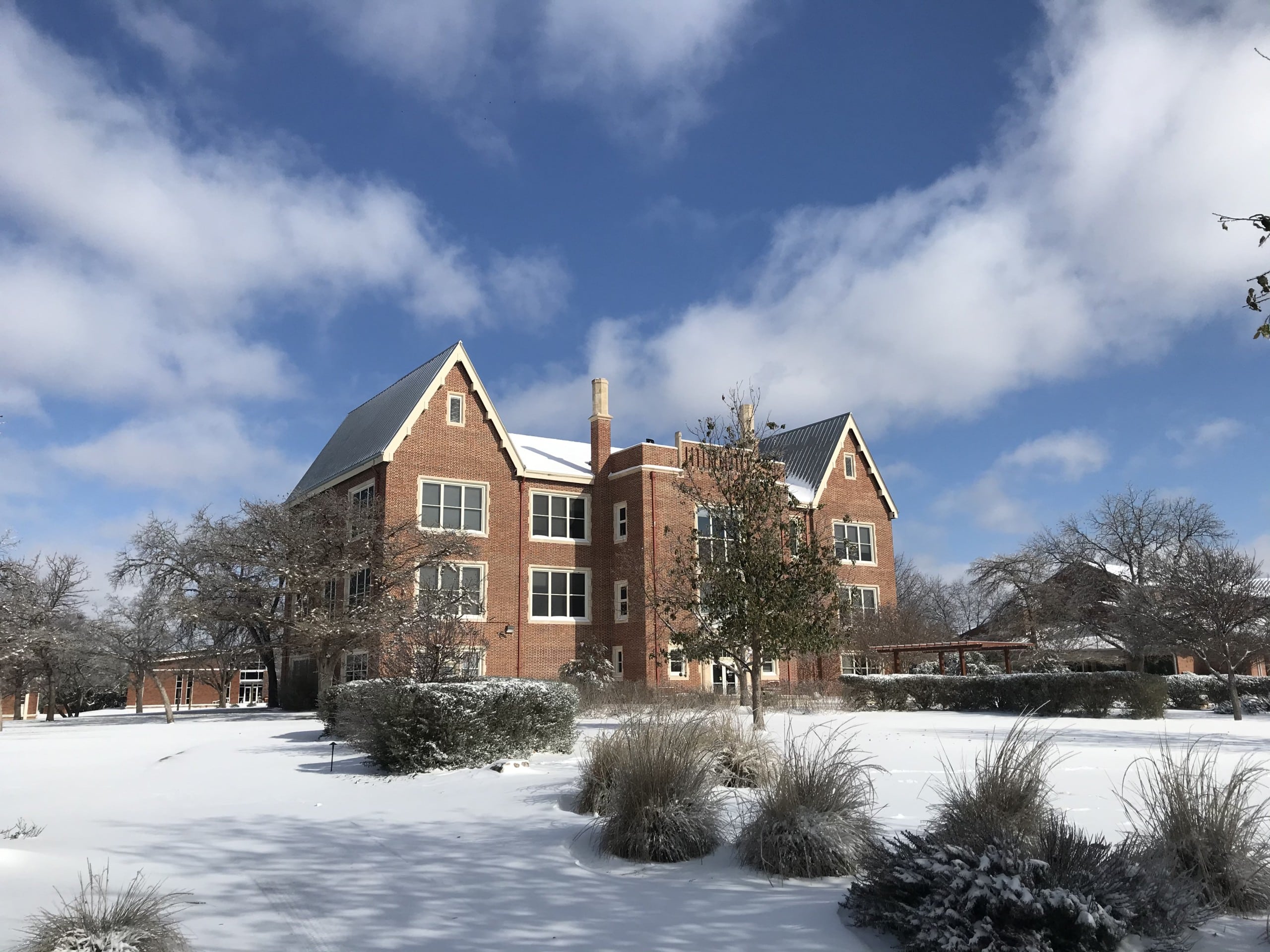
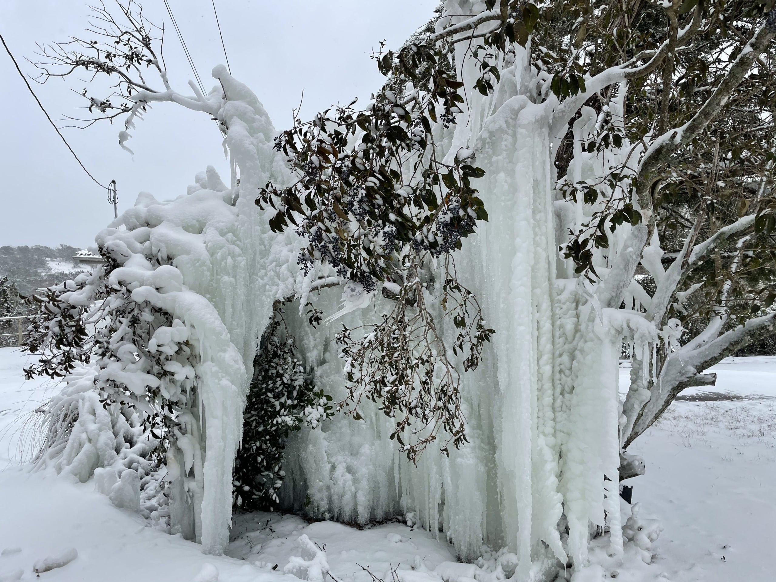
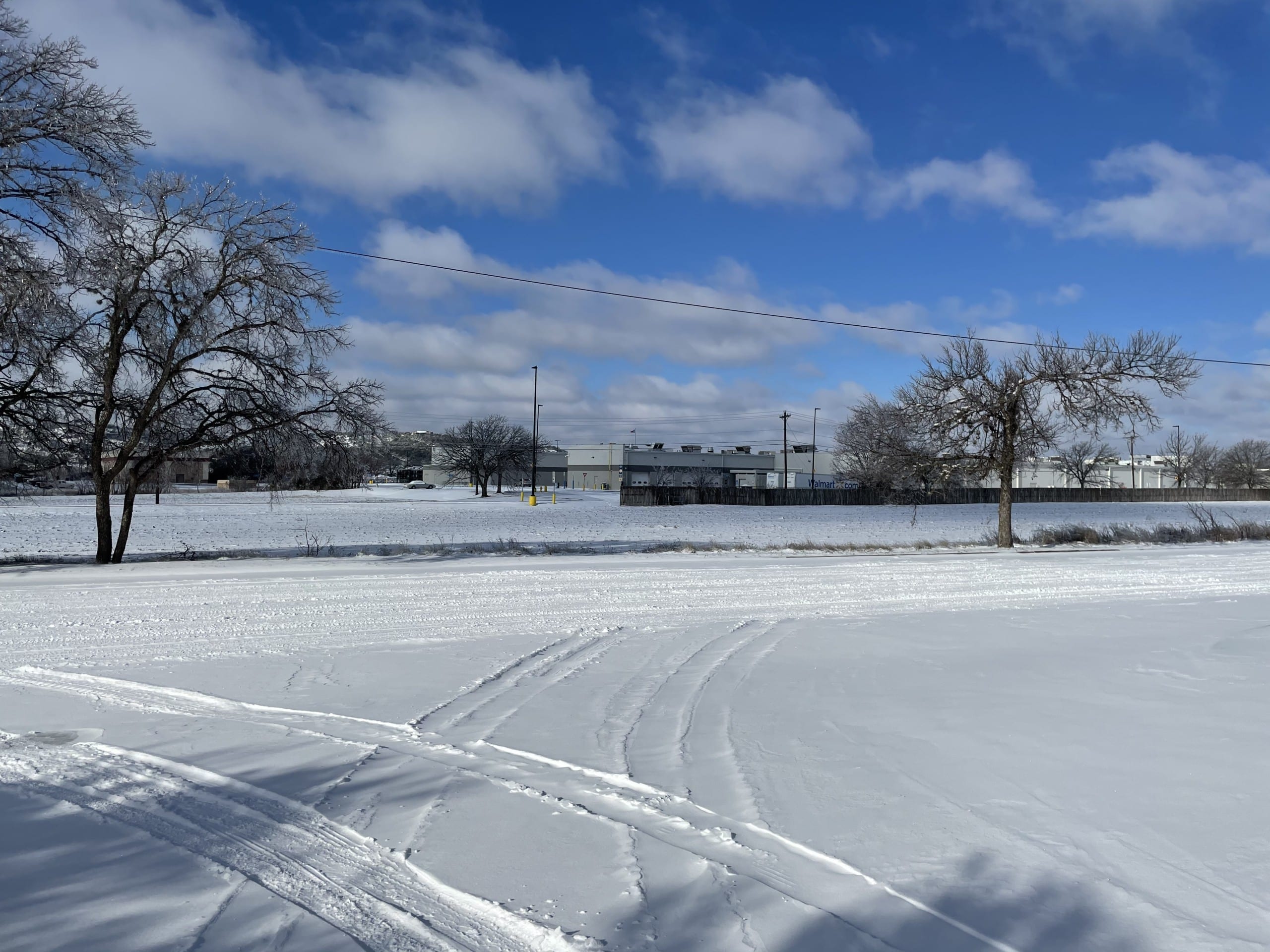
By the night of Feb. 14, Kerrville’s temperature had fallen to 10 degrees — a wind chill of minus 2 — with several inches of snow on the way. Gov. Greg Abbott declared a state of disaster in all 254 Texas counties. Interstate 10 closed between Kerrville and Junction. Two days later, the temperature bottomed out at 4 degrees, the coldest reading in Kerrville since 1949, part of a five-day stretch — the longest on the county’s 129-year temperature record — in which the mercury never climbed back above freezing at all.
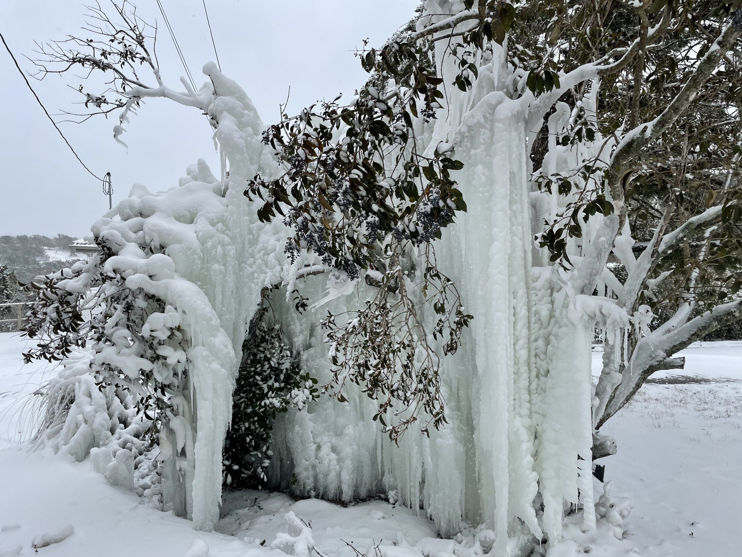
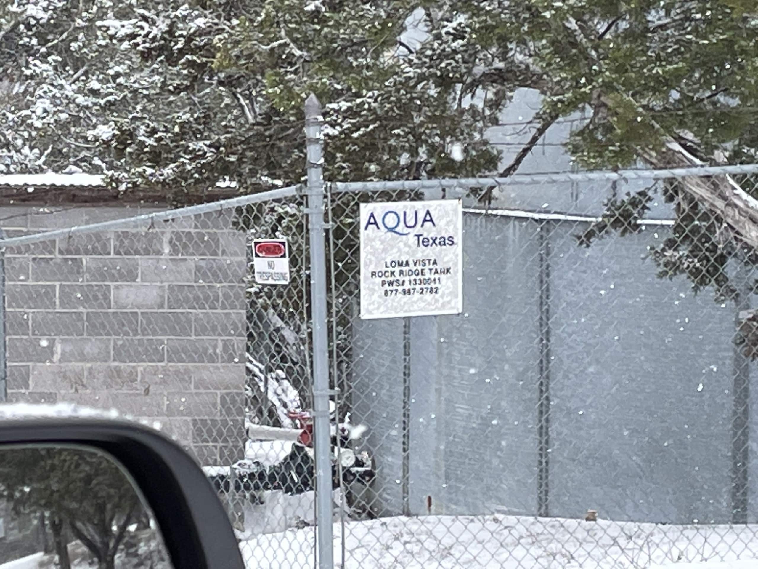
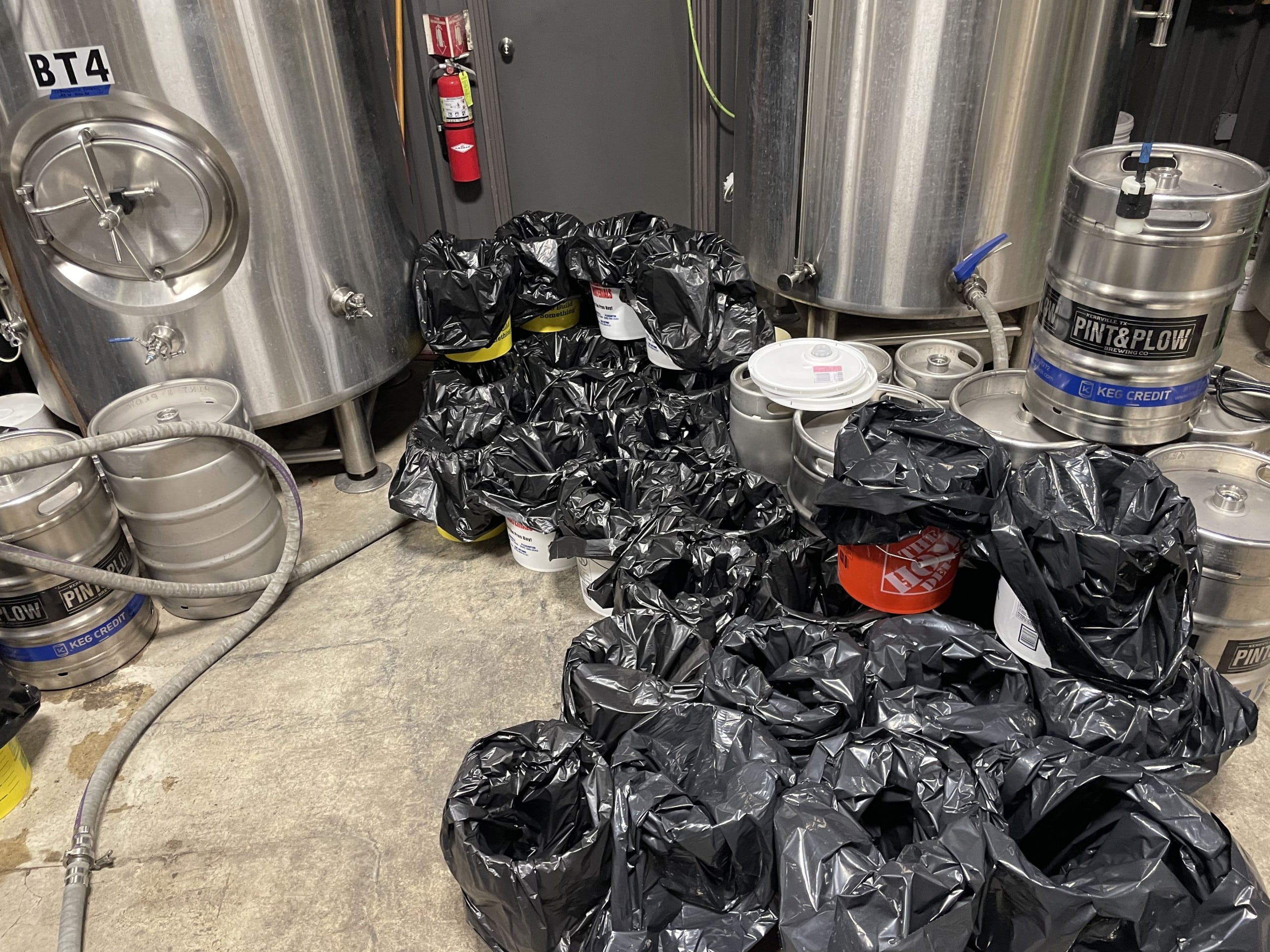
The infrastructure failure that followed was worse than the cold itself. More than 80% of Kerr County lost power as the state’s grid operator ordered rolling blackouts statewide, and the Central Texas Electric Cooperative absorbed catastrophic damage — an estimated 500 power poles destroyed by ice and cold. Water pressure fell to unsafe levels across the city, triggering boil-water notices. Two local breweries, Pint and Plow and Basement Brewers, boiled more than 2,000 gallons of drinking water for residents who had none. Shelters opened at Kerrville’s First United Methodist Church, Calvary Temple Church, the Salvation Army and Ingram Independent School District.
The politics of the disaster reached Kerr County directly. President Joe Biden’s initial major disaster declaration covered 77 Texas counties but excluded Kerr, Real and Bandera counties; Mayor Bill Blackburn said he personally called U.S. Rep. Chip Roy to press for Kerr County’s inclusion. Blackburn, who grew up in San Angelo, said he’d never seen anything like it, comparing it only to Kerrville’s historic cold of 1949, a hard freeze in December 1989, and a 2011 storm that had cut power to 3 million Texans statewide.


2020: A microburst and a heat wave
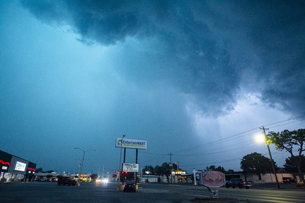
May 27 — Kerrville microburst
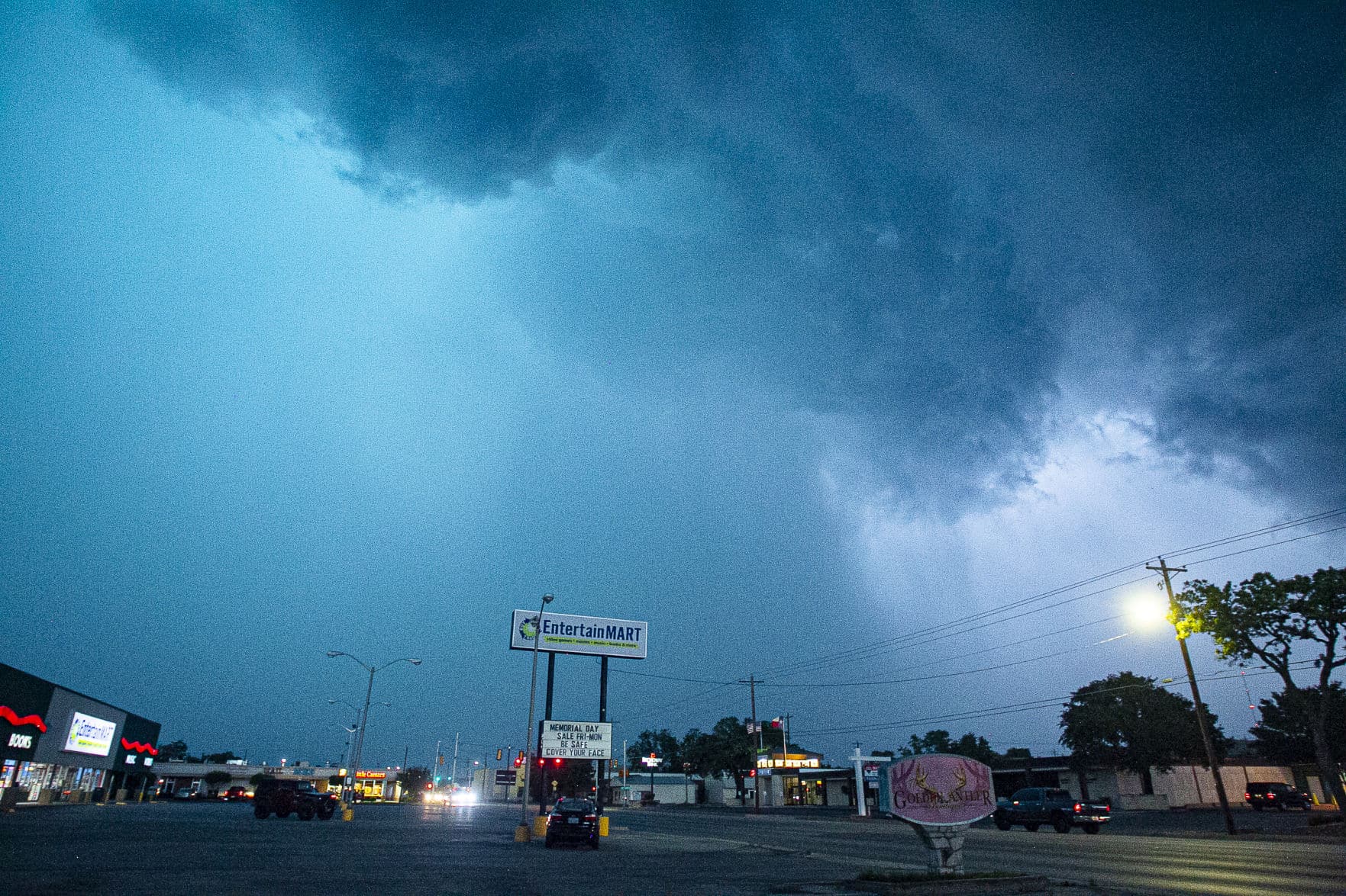
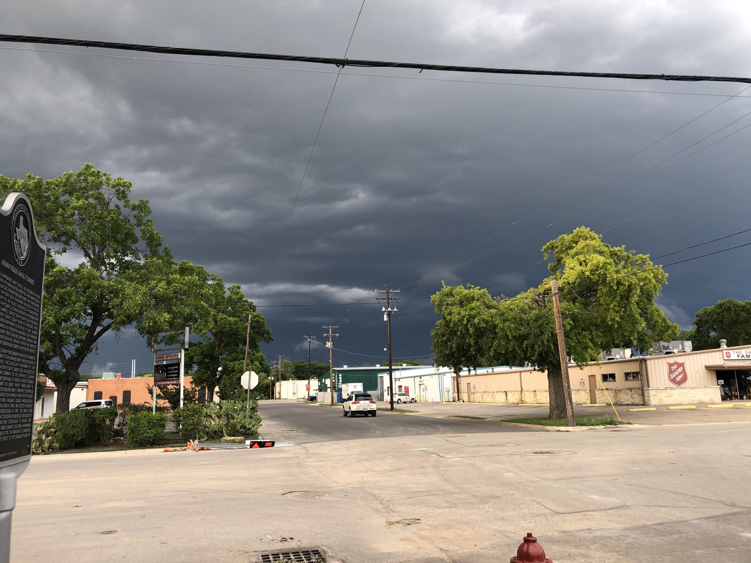
A National Weather Service damage survey confirmed a microburst hit Kerrville’s west side around 8 p.m., with estimated winds of 70 to 80 mph tearing off roofs and porches and snapping or uprooting trees across a damage path more than a mile wide, near Peterson Hospital on Rimrock Road. A second area near Legion saw gusts near 80 mph that blew mobile homes from their foundations. At least two homes in Kerrville were destroyed outright. Combined damage across the two areas topped $1.1 million. The storm was part of a broader outbreak that federal forecasters later classified as a billion-dollar severe weather event regionally, also striking Georgetown and San Antonio the same evening.

July 13 — Excessive heat
Temperatures topped 105 degrees across 17 South Central Texas counties, including Kerr, in one of the summer’s most intense heat spells.
The Records
Weather records, by category
Twelve categories, each ranked against its own instrument’s period of record — not against each other. Italicized rows are circumstantial estimates, not direct measurements; see the note under each such category.
A century of extreme weather, county by county
Loading archive…
CONFIRMEDNOAA / USGS primary source HISTORICALsecondary source, unverified
