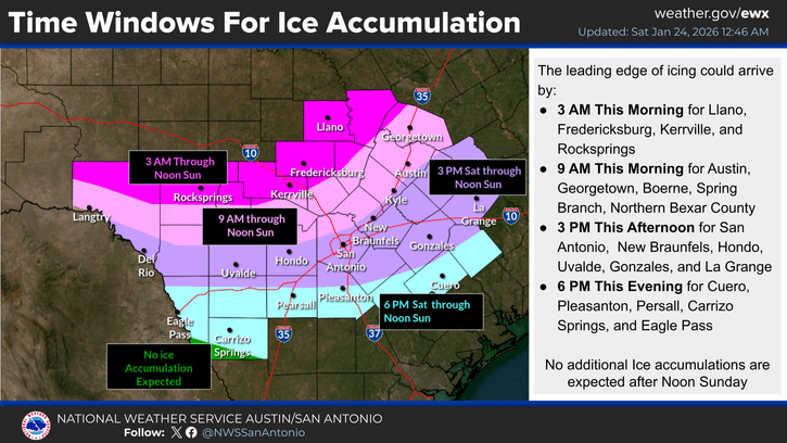
Ice Storm Warning issued for Kerr County; travel may become ‘nearly impossible’
Travel conditions are deteriorating in real time as intermittent showers and drizzle add to ice accumulations and standing water from Friday night’s locally heavy rains freezes over. Icing is being observed on increasingly longer stretches of roads and highways across Kerr County.
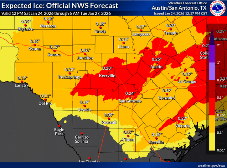
The National Weather Service escalated its warning for Kerr County to an Ice Storm Warning Saturday afternoon as conditions deteriorated faster than predicted and forecasters increased ice accumulation totals to a quarter-inch with isolated amounts up to half an inch.
An Ice Storm Warning is more serious than a Winter Storm Warning and indicates that severe ice accumulations will cause devastating damage to trees and power lines, making travel nearly impossible.
Freezing temperatures had spread across the entirety of the southern Edwards Plateau and Hill Country by 1 p.m. Saturday and were pushing across the Interstate 35 corridor. The cold air arrived faster and colder than model guidance predicted, including high-resolution models.
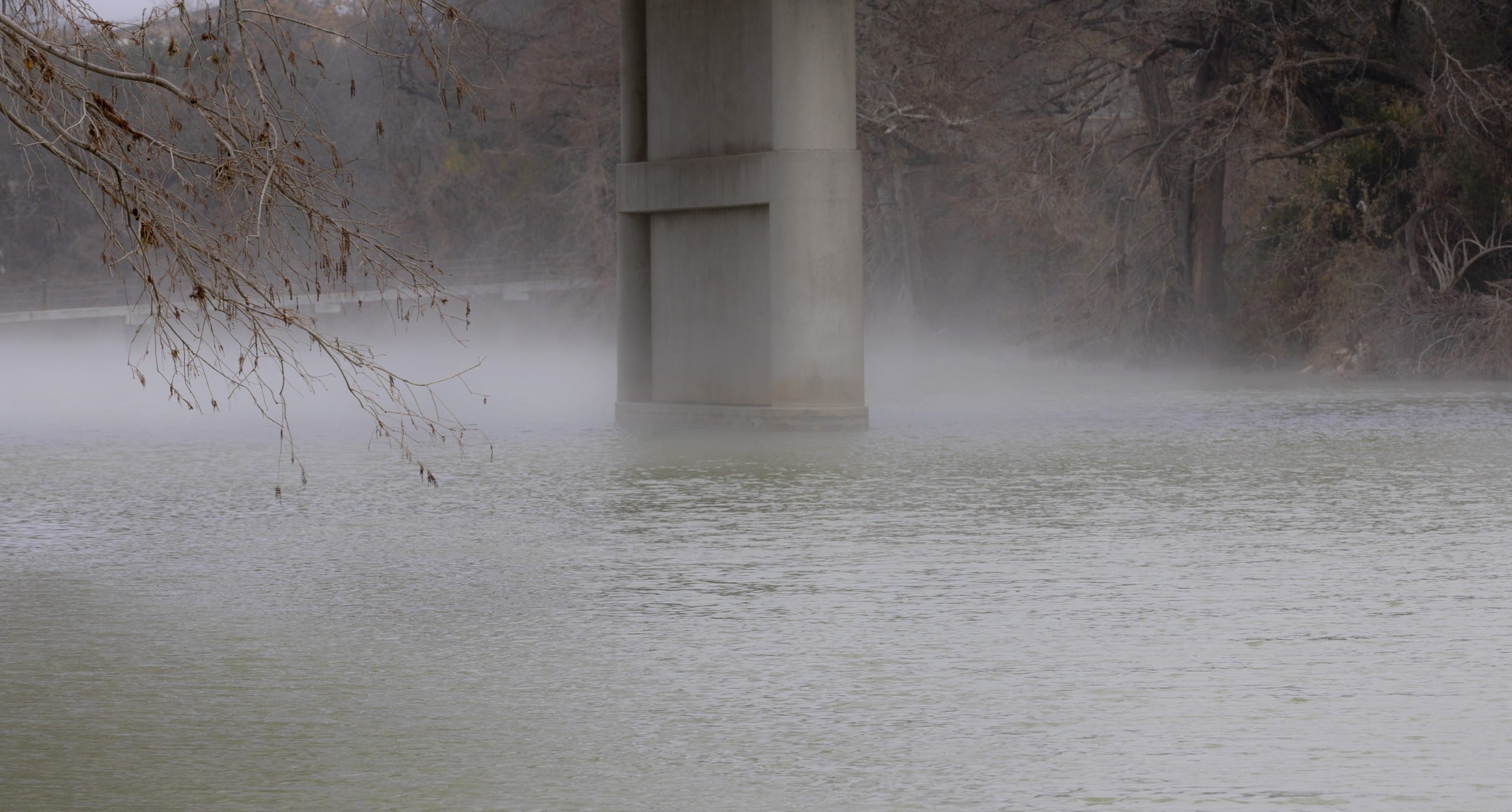
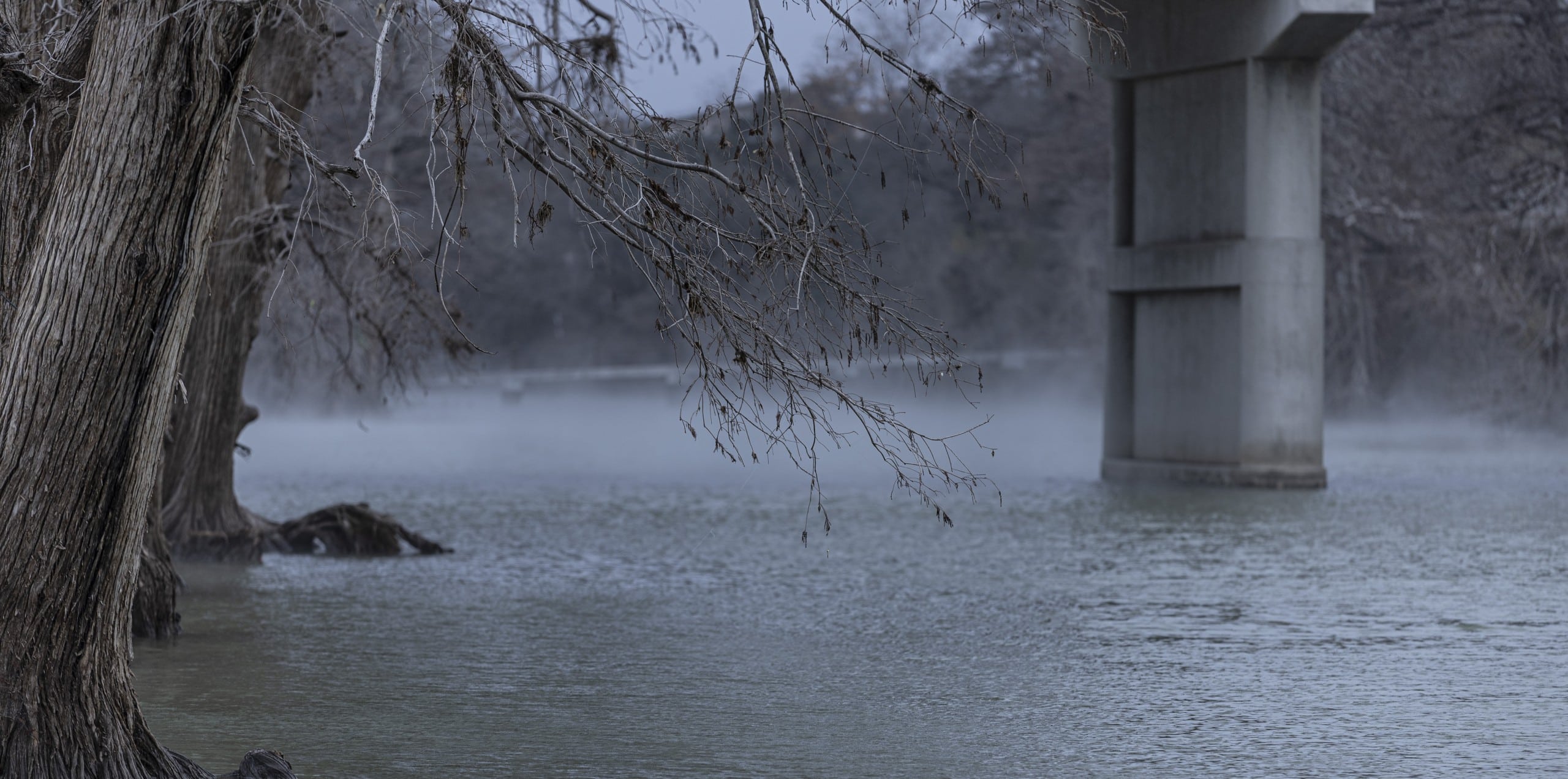
Travel conditions are deteriorating in real time as intermittent showers and drizzle add to ice accumulations and standing water from Friday night’s locally heavy rains freezes over. Icing is being observed on increasingly longer stretches of roads and highways across Kerr County.
“This will cause travel to become nearly impossible and may cause significant icing impacts,” the weather service stated Saturday afternoon.
The Ice Storm Warning remains in effect through noon Sunday for the Hill Country and Austin area. Winter Storm Warnings and Winter Weather Advisories remain in effect for other portions of South-Central Texas. An Extreme Cold Warning begins at 6 p.m. Saturday and continues into Monday.
Highly Efficient Ice Accretion
Temperatures in the mid to low 20s Saturday afternoon are allowing highly efficient ice accretion across the Hill Country. A breezy 10 to 20 mph north wind continues at the surface while southerly transport of moisture atop the cold air produces intermittent showers and drizzle.
Aircraft observations from Austin and San Antonio airports show a sharp contrast between frigid Arctic air near the surface and warmer 50-degree air about 3,000 feet above. This warm nose aloft is expected to persist through tonight, keeping precipitation mostly icy.
Some stronger showers may include a wintry mix as rising air locally cools temperatures aloft, but freezing rain will be the predominant precipitation type during the daytime. A few isolated rumbles of thunder are possible in the stronger portions of icy precipitation bands. Lightning has already been observed with relatively lighter activity Saturday afternoon.
Increased Ice Totals
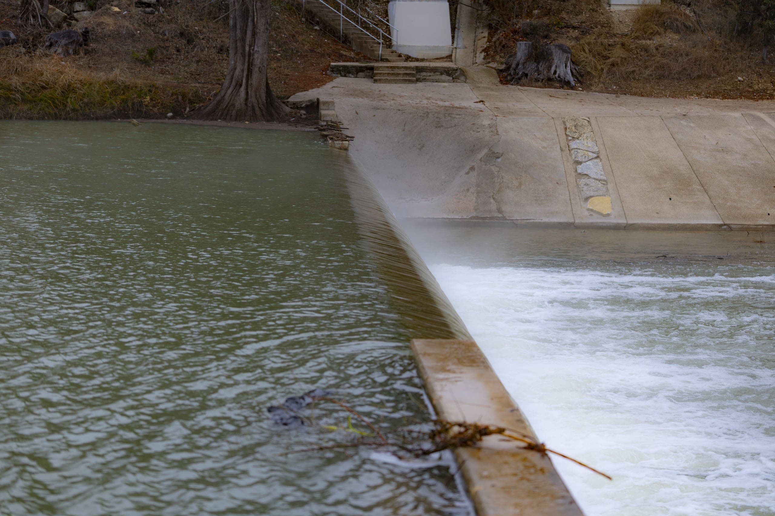
Total ice accumulations have trended upward. Given very low surface temperatures and a steady north wind, ice accretion is remaining efficient. Freezing of residual water from heavy rains Friday night, particularly between the Hill Country and Austin area, may cause greater ice accumulations than models indicate from new precipitation alone.
Within the Ice Storm Warning area covering Kerr County, forecasters predict ice amounts of one-quarter inch with isolated totals of one-half inch, in addition to any freezing of standing water.
Elsewhere, ice accumulations of one-tenth to one-quarter inch are expected, with isolated accumulations of one-quarter to one-half inch possible across Winter Storm Warning areas, and up to one-tenth inch in the Winter Weather Advisory area in the Rio Grande Plains.
Heaviest Ice Tonight
Temperatures will continue plunging with the line of freezing temperatures progressing south. Forecasters anticipate temperatures along Highway 90, throughout San Antonio and in portions of the Coastal Plains will drop below freezing by 6 p.m. Saturday, with the remainder of the Coastal Plains and Rio Grande Plains hitting that mark overnight.
Tonight, an upper-air disturbance over northern Mexico moves across the Big Bend area into the region. This injection of energy will result in bands of precipitation moving across the area beginning this evening and continuing through early morning hours.
This episode of precipitation will likely bring the highest quantities of freezing rain and sleet to much of South-Central Texas. To the north, transitions to a sleet and freezing rain mix are possible after midnight mainly near the Austin area, Highland Lakes and along the Texas Highway 71 corridor. Elsewhere, freezing rain may be favored throughout the night.
A few snow flurries are possible toward the tail end of the precipitation event, but snow accumulations are forecast to be negligible compared to ice and sleet.
Dangerous Cold Tonight
Along with precipitation, wind chills tonight are expected to reach hazardous levels, with values as low as near zero in the Hill Country and southern Edwards Plateau, and single digits to teens elsewhere. These conditions may cause hypothermia and frostbite if precautions are not taken.
The weather service warns: “Keep people, pets, plants and pipes warm, and practice safe use of space heaters.”
Ice Lingers Through Sunday
Precipitation will taper off Sunday morning as dry and sinking air takes the place of the outgoing upper-air disturbance. Sunny skies will start filtering in from the west by Sunday afternoon.
However, hazardous travel conditions are expected to linger as temperatures are not expected to climb much during the day. Over the southern Edwards Plateau and areas generally north of I-10, temperatures are forecast to remain below freezing throughout Sunday.
While added sun may help reduce some ice, icing concerns continue as long as subfreezing temperatures persist, prolonging travel impacts. To the south, highs are expected to reach the mid-30s to low 40s during the afternoon.
Author

Related Articles

Kerrville Council leans toward tiered stormwater fee, but delays decision pending more study
The proposed fee is designed to generate roughly $267,000 in its first year for system maintenance while chipping away at a $15 million backlog of drainage capital projects identified in the city’s 2020 Stormwater Master Plan.
Tornado Watch issued as escalating severe weather threat moves toward Kerr County tonight
NWS now forecasting winds up to 80 mph, hail exceeding 2 inches; storm development arriving sooner than expected
Judge grants partial injunction against Camp Mystic, blocks office use for Cypress Lake reopening
Judge Maya Guerra Gamble of the 459th Judicial District issued the ruling after a day-long hearing in the Steward family’s wrongful death lawsuit. Her order took effect immediately, she said, even as attorneys work on final written language.
Comments (0)
There are no comments on this article.