
High heat, elevated heat index expected as Kerr County dries out
For Kerr County specifically, that means clearing skies and rising humidity. Lows will stay in the low to mid 70s overnight with high humidity, and Sunday’s highs should reach the upper 80s in the southern Edwards Plateau and low to mid 90s elsewhere.
Dangerous flash flooding has ended across Kerr County, but the National Weather Service is warning of a different hazard moving in behind it: heat index values approaching 106 degrees as saturated ground keeps humidity high through the coming week.
The National Weather Service’s Austin/San Antonio office said in its Saturday afternoon forecast discussion that remaining flood waters continue moving downstream in the Nueces, Frio, San Antonio, Llano and Rio Grande basins, and urged people to avoid flooded areas. Typical hot July heat and humidity is expected to resume across the area, with dry weather continuing this weekend into late next week.
Forecasters said the heavy rain and flash flooding threat has come to a close for South Central Texas, though rises will continue moving downstream through many of the region’s swollen rivers, including Cibolo Creek, the Llano River, the Nueces River, the Frio River and the Pecos River into the Rio Grande. Some impacts from those elevated rises will persist into early next week as flood waters gradually disperse or spread across floodplains. The agency repeated its standard warning: do not drive through flooded roads.
The immediate weather pattern is shifting fast. The mid-level shear axis responsible for the past week of rain has drifted northwest and will linger over the Texas Panhandle and West Texas before gradually eroding as high pressure builds in from the north. Most of the area should stay rain-free through Saturday afternoon and evening, apart from a chance of a brief light shower in far western rural Val Verde County.
For Kerr County specifically, that means clearing skies and rising humidity. Lows will stay in the low to mid 70s overnight with high humidity, and Sunday’s highs should reach the upper 80s in the southern Edwards Plateau and low to mid 90s elsewhere.
The bigger story is what that humidity does to how the heat actually feels. Standing water and near-surface soil moisture left over from the recent rain will keep dew points from dropping as much as they normally would during the day, which will help push heat index values into the 100 to 105 degree range even though air temperatures alone don’t look extreme. Forecasters said those values should stay just below the threshold for a heat advisory, but Sunday night will bring another warm, humid night with temperatures in the 70s and low stratus clouds moving in toward Monday morning.
That pattern is expected to hold, and possibly worsen, into next week. The extended forecast calls for a hot, dry pattern to continue as high pressure builds south into North-Central Texas, nudging high temperatures up slightly day by day. Forecasters said they’ll be watching dew points closely because of the ground moisture left behind by the recent rains and flooding — models have consistently underestimated how much humidity will linger during the day, which could push heat concerns higher than currently forecast heading into early next week.
As it stands, heat index values are expected to stay just below heat advisory criteria, in the 100 to 106 degree range, through the extended period. Skies should stay partly cloudy to mostly sunny with no measurable rain expected, aside from a slim chance of a stray sea breeze shower over the coastal plains late in the week as southeasterly flow returns.
The forecast for Kerrville and Kerr County:
- Tonight: Increasing clouds, low around 72, south-southeast wind 5-10 mph with gusts up to 20 mph.
- Sunday: Partly sunny, high near 90, south wind 5-10 mph with gusts up to 20 mph.
- Sunday night: Partly cloudy, low around 70.
- Monday: Mostly cloudy through mid-morning then gradual clearing, high near 92.
- Tuesday-Friday: Sunny to mostly clear, with highs climbing from 94 to 93 and lows in the upper 60s to low 70s.
- Saturday: Mostly sunny, high near 93.
Author

Related Articles
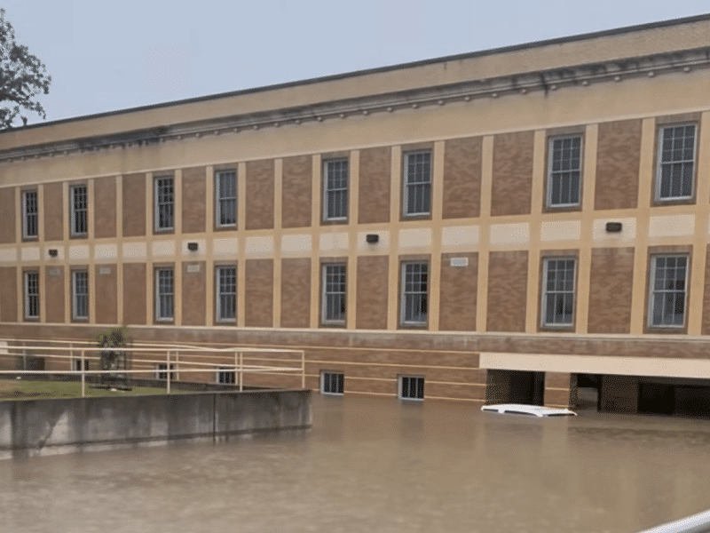
Kerr County Courthouse closed indefinitely; county lays out full relocation plan for every displaced office
Basement flooding could keep some offices out for up to a year; ground floor offices expected back in 1-2 weeks
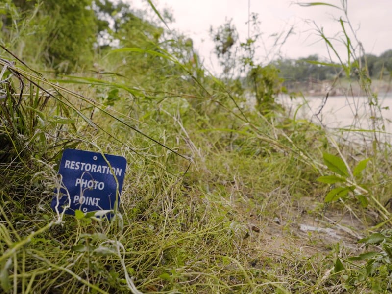
Most of last year’s newly planted river trees survived Thursday’s flood
Kerr County River Foundation says volunteers return to work staking survivors; group seeking donations to replace lost water tanks
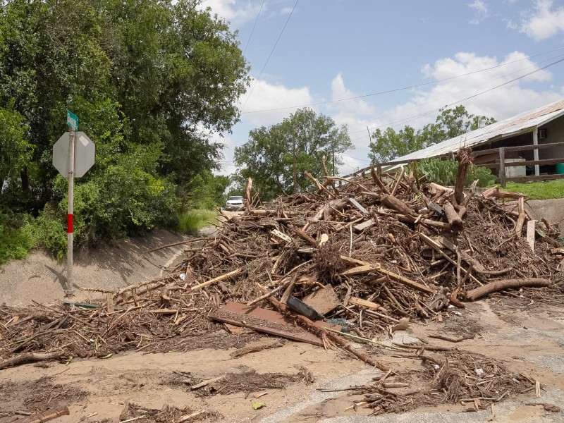
Flood damage: A checklist on what to do
You don’t have to do everything today. Reporting damage doesn’t cost anything and doesn’t obligate you to anything — it just gets you in line for help. Do these roughly in order, as you’re able.
Comments (0)
There are no comments on this article.