
UGRA: River bacteria levels back to normal, but debris remains a hazard
Latest testing shows no sites exceeding safety thresholds; Bear Creek Crossing remains untestable due to flood damage
The Upper Guadalupe River Authority says the latest water quality testing shows bacteria levels across Kerr County’s waterways have returned to normal ranges, though the authority is still urging caution due to debris hazards left behind by the flood.
“Testing conducted by UGRA indicates bacteria levels in Kerr County waterways are within normal levels,” the authority said in a public notice. “However, we advise the public to use caution when swimming or boating due to dangerous debris like metal, construction materials, and splintered trees that may not be immediately visible under the water’s surface.”
UGRA is asking swimmers and boaters to visually inspect areas for debris before entering the water, and noted that some waterways near public parks may be temporarily closed by city or county officials.
What the data shows
UGRA’s most recent Guadalupe River Swimability Study, based on samples collected the week of July 27, shows E. coli levels at every tested location within the Texas Commission on Environmental Quality’s safety standards — both the single-sample threshold of 399 colonies per 100 milliliters and the geometric mean threshold of 126 colonies per 100 milliliters, the two benchmarks TCEQ uses to assess swimming safety.
That’s a notable recovery. Data from the week immediately following the July 16 flood, collected July 20, showed a different picture: Center Point River Road/Brinks Crossing measured 435 colonies per 100 milliliters — above the single-sample safety threshold — and North Fork Rock Bottom Road/Joy Crossing measured 328, elevated though still under the threshold. UGRA’s own study notes that bacteria levels commonly rise after rainfall events, as surface runoff carries pollutants into waterways, and recommends waiting five days after a rain event before swimming.
By July 27, those same locations had returned to safe ranges: Center Point River Road measured 26, and North Fork Rock Bottom Road measured 29.
One testing site remains inaccessible
Bear Creek Crossing has been marked as inaccessible due to flood damage in both the July 20 and July 27 testing weeks, meaning UGRA has not been able to collect current water quality data at that location since the flood. Other previously inaccessible sites — including all three Louise Hays Park testing locations and Kerrville-Schreiner Park — returned to the testing rotation by July 27, with all showing normal bacteria levels.
Residents with water quality concerns are asked to contact UGRA directly.
Author

Related Articles
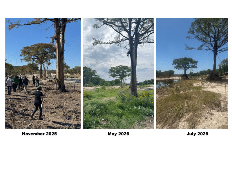
River restoration projects survive second major flood on the Guadalupe
Kerr Together Long-Term Recovery Group’s River Working Group — planted native grasses, sedges and young trees along the river as part of long-term restoration efforts. Officials with the partner organizations said most of that vegetation survived this month’s flood with minimal damage.
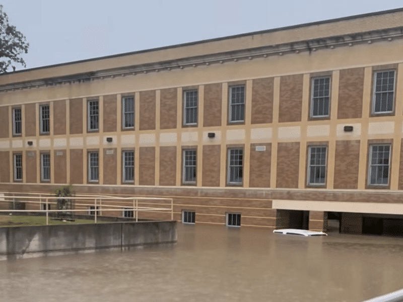
Kerr County flood damage exceeds 2025 major-damage totals as courthouse recovery drags on
Emergency Management Coordinator Shorey Harmon told commissioners that the ongoing damage assessment had recorded more than 1,500 damage submissions.

Kerr County’s calendar overflows as Fiddler on the Roof takes the Cailloux Stage
A tally of this week’s public listings, compiled from The Kerr County Lead’s community calendar, turns up roughly 87 distinct happenings between Monday, July 27 and Sunday, August 2.
Comments (0)
There are no comments on this article.