
NWS: Strong thunderstorm moving through central Kerr County, threatens 40 mph winds and half-inch hail
Forecasters also warned of torrential rainfall that could lead to localized flooding, urging drivers not to cross flooded roadways, and said frequent cloud-to-ground lightning is occurring with the storm.
The National Weather Service issued a special weather statement Sunday afternoon for a strong thunderstorm moving through central Kerr County, warning of damaging wind gusts, half-inch hail and torrential rainfall.
As of 5 p.m., radar was tracking the storm near the Kerr Wildlife Management Area, about 22 miles north of Vanderpool, moving southeast at 20 mph. The Weather Service said the storm could produce winds in excess of 40 mph and half-inch hail through 5:45 p.m., with gusty winds capable of knocking down tree limbs and blowing around unsecured objects.
Kerrville, Ingram, Hunt, Kerrville-Schreiner Park and Waltonia are in the storm’s path.
Forecasters also warned of torrential rainfall that could lead to localized flooding, urging drivers not to cross flooded roadways, and said frequent cloud-to-ground lightning is occurring with the storm — a hazard that can strike as far as 10 miles away. The Weather Service advised anyone outdoors to seek shelter inside a building or vehicle.
This story will be updated if the Weather Service issues further statements or warnings.
Author

Related Articles

Schreiner’s defense holds on to win at Centenary for first road victory
The win moves Schreiner to 3-1 and gives the first-year program its first road victory. Its only other road trip was a 47-29 loss at Oklahoma Panhandle State on Sept. 12. Centenary fell to 0-3.
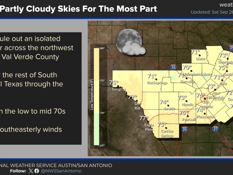
Rain chances for Kerr County now trending toward Thursday, with flash flood risk on forecasters’ radar
The trough responsible for the potential rain event was still taking shape over the northern Pacific as of Saturday and won’t reach the Pacific coast until sometime Sunday, when forecasters can begin sampling it more directly. Models have grown more consistent on the trough’s timing as it crosses the southwestern U.S., though its behavior once it reaches Texas remains a key uncertainty.
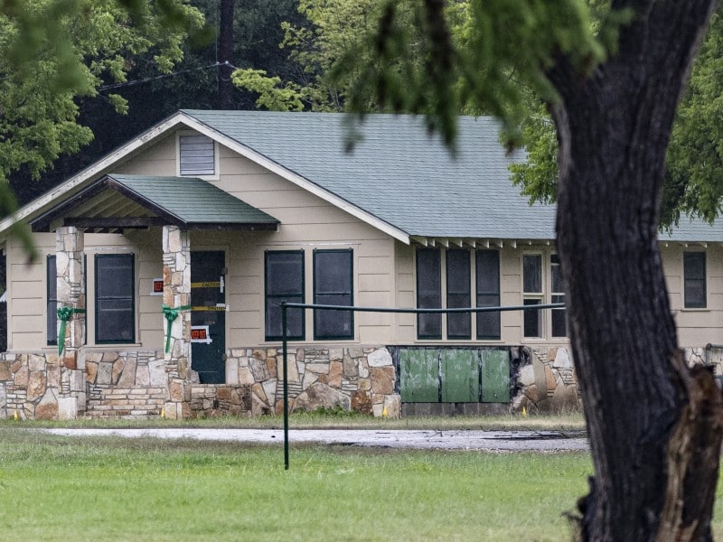
Camp Mystic owners propose selling camp, canceling Eastland family ownership
The companies expect the first bid to come from a buyer backed by a group of Camp Mystic families and alumnae.
Comments (0)
There are no comments on this article.