
Forecasters raise flash flood concerns for Wednesday night into Thursday
“Given the setup of deep moisture, a strong upper low and frontal boundary, this seems very reasonable,” forecasters wrote.
Kerr County faces a growing risk of heavy rain and flash flooding later this week as a strong upper-level low and a slow-moving cold front move into Central Texas, the National Weather Service said Monday.
In its Monday morning forecast discussion, the NWS Austin/San Antonio office said a “definite pattern change” is in store by midweek. Rain chances rise late Wednesday, and the greatest risk of excessive rainfall and flash flooding comes Wednesday night into Thursday. The Weather Prediction Center has placed all of south central Texas under a Level 2 or Level 3 out of 4 risk of excessive rainfall for Wednesday and especially Thursday.
“Given the setup of deep moisture, a strong upper low and frontal boundary, this seems very reasonable,” forecasters wrote.
Forecasters expect the approaching Pacific cold front to organize storms into southwest-to-northeast bands. Storms in that kind of pattern can move repeatedly over the same areas. Rain chances stay elevated into Friday, when the front is expected to linger near or just west of the I-35 corridor. The forecast for the weekend remains highly uncertain.
The moisture feeding the system comes from both the Gulf and a plume of Pacific moisture moving in ahead of the upper low. Last week, the NWS and the National Hurricane Center both said moisture from Hurricane Polo, which reached Category 5 strength in the Eastern Pacific, could contribute to the heavy rain threat across the region.
Model guidance still differs on exactly how fast the system moves. The NWS said ensemble forecasts show more agreement than the individual models.
Until then, the heat continues. Highs Monday will reach the lower 90s to near 100, and heat index values near San Antonio could reach 105 on Tuesday. Starting Thursday, the front is expected to bring the first real break from the heat this fall, with highs in the mid 70s to mid 80s into the weekend.
Scattered storms Sunday afternoon brought between half an inch and 1.75 inches of rain to parts of southwestern Kerr County, according to NWS radar estimates and automated gauges.
The NWS is urging residents to keep monitoring the forecast this week and to make sure they have multiple ways to receive warning information.
Author

Related Articles

NWS: Strong thunderstorm moving through central Kerr County, threatens 40 mph winds and half-inch hail
Forecasters also warned of torrential rainfall that could lead to localized flooding, urging drivers not to cross flooded roadways, and said frequent cloud-to-ground lightning is occurring with the storm.

Schreiner’s defense holds on to win at Centenary for first road victory
The win moves Schreiner to 3-1 and gives the first-year program its first road victory. Its only other road trip was a 47-29 loss at Oklahoma Panhandle State on Sept. 12. Centenary fell to 0-3.
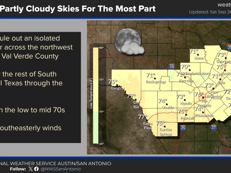
Rain chances for Kerr County now trending toward Thursday, with flash flood risk on forecasters’ radar
The trough responsible for the potential rain event was still taking shape over the northern Pacific as of Saturday and won’t reach the Pacific coast until sometime Sunday, when forecasters can begin sampling it more directly. Models have grown more consistent on the trough’s timing as it crosses the southwestern U.S., though its behavior once it reaches Texas remains a key uncertainty.
Comments (0)
There are no comments on this article.